Landscape Information
Beginning at Boston Harbor and running along the Charles River for twenty miles, this reservation was one of the metropolitan sites proposed by Charles Eliot and Sylvester Baxter in an 1893 report published by the Metropolitan Park Commission. When Eliot became a partner in the firm Olmsted, Olmsted & Eliot that year, he remained the designer of this project.
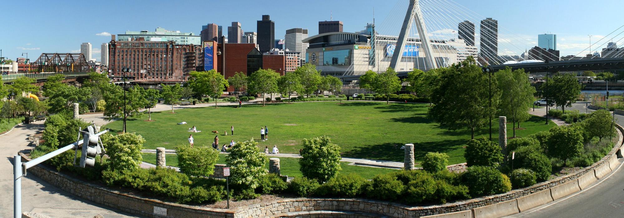
This 863-acre linear reservation consists of two sections. The lower half of the reservation, from the Charles River Dam to the Watertown Dam, is the Charles River Basin, which includes the Charles River Esplanade on the Boston side. The original dam, built in 1910 to prevent flooding, was replaced in 1978. The basin abuts Harvard University, the Massachusetts Institute of Technology, and Boston University. The Upper Charles River section of the reservation begins at Watertown Square and extends to Riverdale Park in West Roxbury.
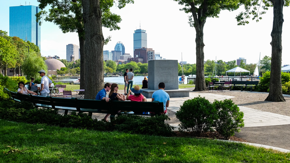
The reservation contains numerous parks and cultural resources located along both sides of the Charles River, including esplanades, parkways, beaches, and parks. Two granite pillars in Watertown Square mark the entrance to the Upper Charles River Reservation. A continuous pathway runs along the river to the Moody Street Bridge in Waltham. The Dr. Paul Dudley White Bike Path loops around the basin from the Charles River Dam to Watertown Square. The 820-acre Charles River Basin Historic District was listed in the National Register of Historic Places in 1978, and the Charles River Reservation parkways were listed in the National Register of Historic Places in 2006 as a district.