Landscape Information
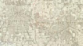
Begun in 1883, the Grand Rounds is a 50-mile-long, 4,662-acre system of parks and parkways that encircles most of Minneapolis. The system contains both natural and constructed features, although many lakes and streams have been substantially modified by park planners. The park system was largely conceived by Charles Loring, first president of the Minneapolis Board of Park Commisioners.
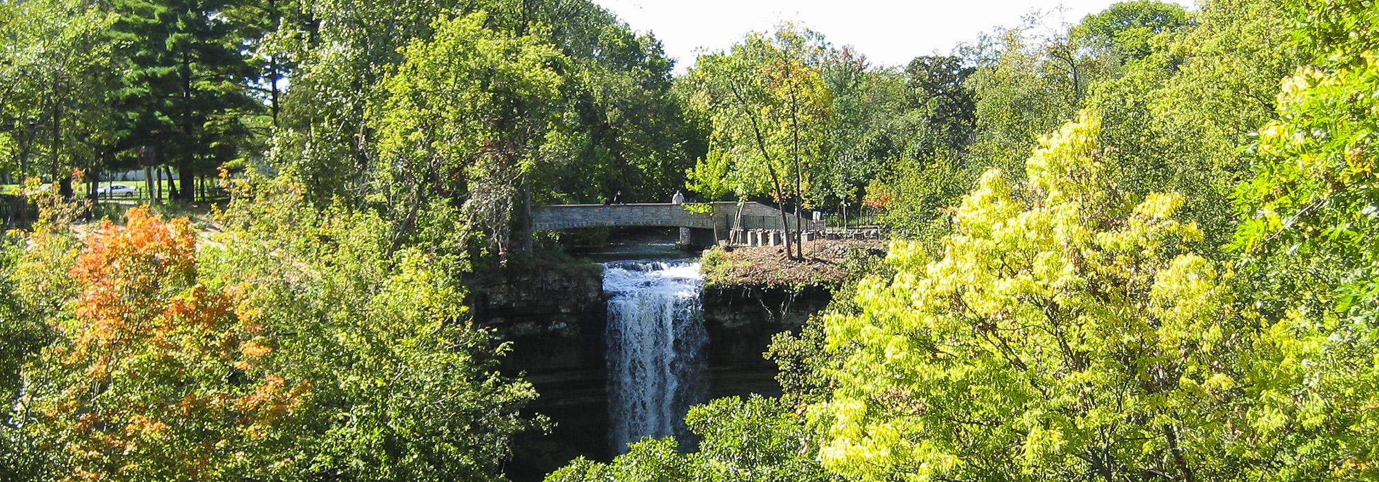
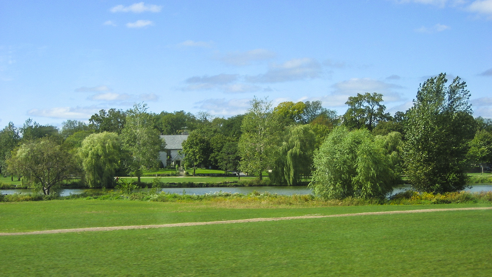
The Board hired H.W.S. Cleveland to develop the first plan. Cleveland’s vision for the parks used natural features as the basis for design, calling for generous parkways to connect the natural areas around the city’s many lakes, the Mississippi River and Minnehaha Falls. In 1899 Warren Manning completed a planning study for the system. Its twentieth-century form was shaped by Theodore Wirth, who served as Superintendent from 1906 to 1935 and Superintendent Emeritus from 1935 to 1949. Wirth expanded the system's acreage three-fold and continued Cleveland’s concept while also undertaking formal plantings such as the elms along Victory Memorial Drive and the public rose garden at Lyndale Park. The system was updated by Eckbo, Dean, Austin and Williams in the 1970s. Their plan separated bicycle paths from sidewalks, modified park roadways, and installed new lighting and other furnishings and fixtures throughout the system.
The Grand Rounds was designated as one of the nation’s first National Scenic Byways and is a significant example of an urban byway. Today the system is organized into seven segments which are almost completely connected: Kenwood, the Chain of Lakes, Minnehaha, Mississippi, Northeast, Victory Memorial, and Theodore Wirth, each with distinguishing characteristics.