Landscape Information
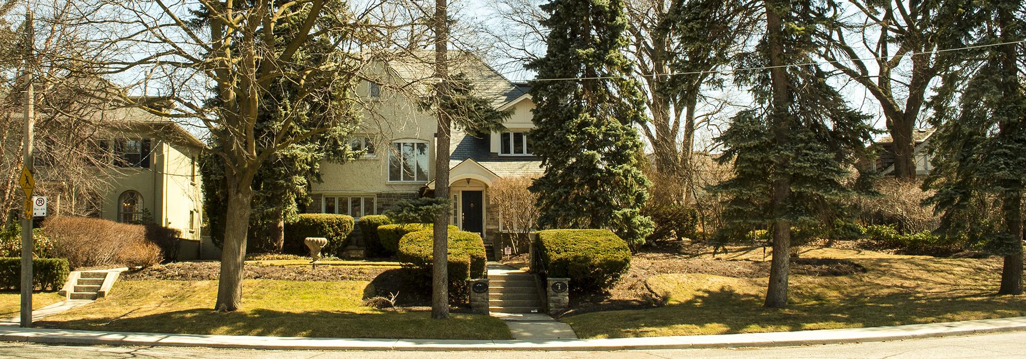
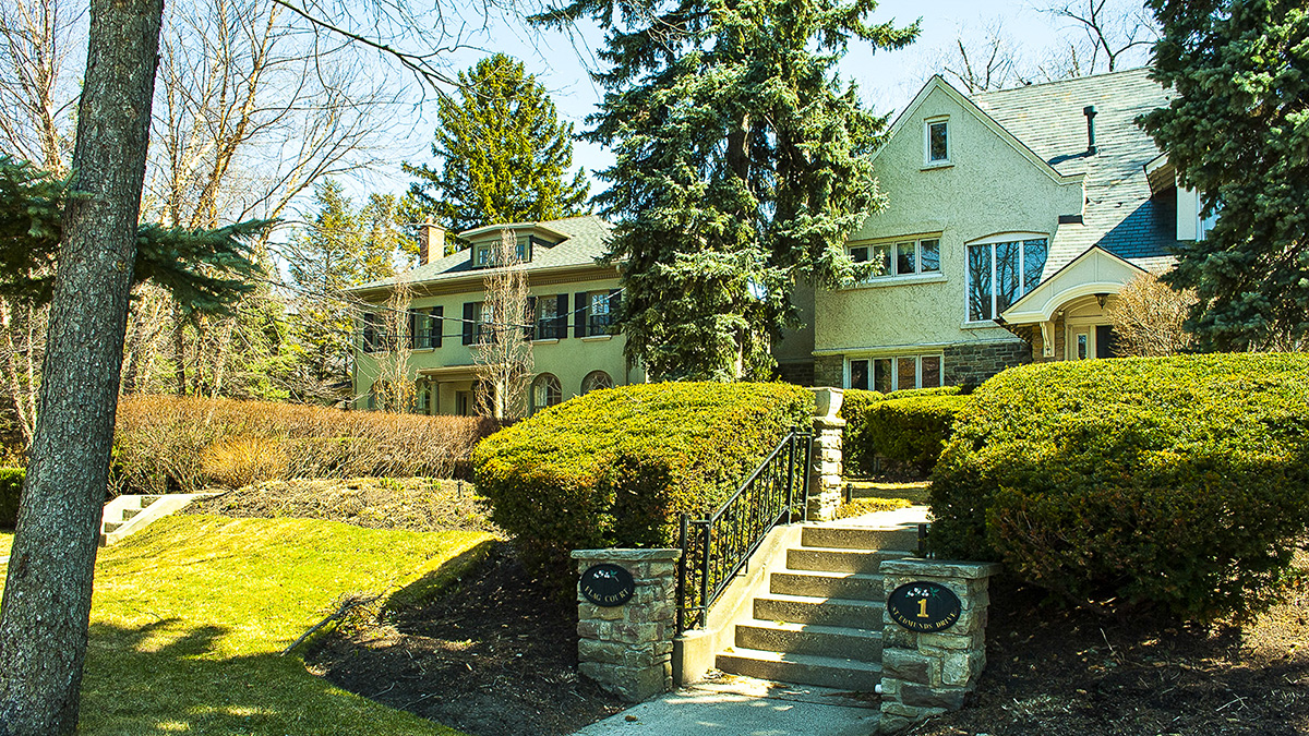
Conceived by businessman Wilfrid Dinnick, this Garden Suburb derives from two farming plots purchased by the Dovercourt Land, Building & Savings Company in 1907 in what was then the municipality of North Toronto (annexed by the City of Toronto in 1912). St. Leonards Avenue now approximates the border between the two original plots, each comprising 75 hectares, the northernmost of which was the eponymous Lawrence Farm. In 1908 Dinnick hired British surveyor and engineer Walter Brooke, who laid out the network of streets—most straight and aligned with the surrounding grid, but some arcing and radial—and established building lots averaging 15 x 45 meters amidst rolling hills. Comprising the southern and western boundaries, Blythwood Ravine was left for use as parkland, as were a few other plots.
Terraces, pergolas, footpaths, and fountains were in place even before building lots were sold. Seven houses were built on a speculative basis between 1909 and 1910, and, anticipating the prevalence of the automobile, were furnished with garages instead of stables. Landscape architects Howard and Lorrie Dunington-Grubb were subsequently hired to design plantings for the streets, parks, and many of the residences—and also briefly operated a ten-acre nursery in the area. New construction languished in Lawrence Park during the economic depression that followed World War I, and the parkland encompassing Blythwood Ravine was sold to the city in 1919 to settle tax debts. Spurred by the post-World War II economy, the residential neighborhood of Tudor Revival, Georgian, and English Cottage style single-family homes, with generous setbacks, lining wide, tree-lined streets was fully developed by the 1960s.