Landscape Information
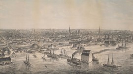
Spanning a length of more than 45 kilometers between the Rouge River on the east and Etobicoke Creek on the west, Toronto’s shoreline comprises a diverse and evolving suite of cultural, natural, and scenic resources that contribute to the city’s identity. French explorers constructed a small trading post at the mouth of the Humber River in 1720, though the Toronto Passage had already been in use for decades. With the construction of Fort York in 1793, the Town of York (Toronto) was established. As its economy and population grew, so too did waterborne shipping, giving rise to factories and warehouses. Tracing the route of the Passage, a railway was established by the mid-1850s and a massive reclamation campaign lasting a century led to the in-filling of the shoreline and the construction of land for industrial infrastructure. Accommodating suburban growth, the Gardiner Expressway was completed in 1955 paralleling the railway along the shoreline.
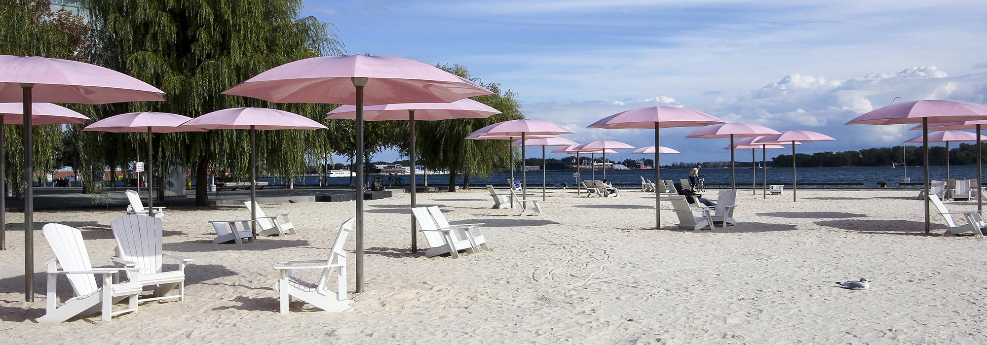
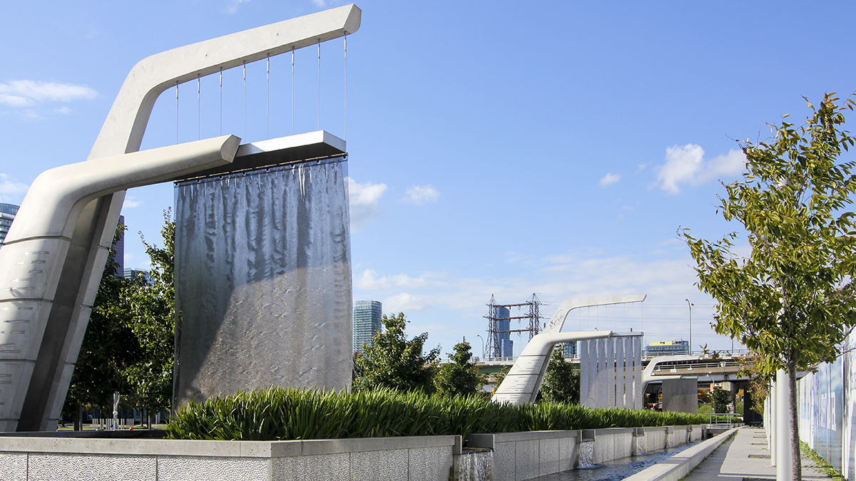
By the 1970s, industry began to relocate to cheaper lands outside the city and, with urban renewal, transformation of the shoreline began with mixed-use retail and residential projects as well as the construction of parks and cultural institutions. In 2001, the municipal, provincial, and federal governments established the Toronto Waterfront Revitalization Corporation (now Waterfront Toronto) to implement ongoing economic and programmatic renewal. Today, though some industrial features and uses remain, condominiums and shops are integrated with small neighborhood parks in the central waterfront while larger, more naturalized areas provide wildlife habitat and recreational opportunities along the eastern and western limits.