Landscape Information
One of seven national cemeteries created between the world wars and Minnesota’s only national cemetery, it was established in 1939 and has grown to 436 acres, of which approximately 340 acres are developed. The roughly triangular shaped site is edged by two freeways and the Minneapolis-St. Paul airport, separating it from Fort Snelling. Among the earliest interments were 680 remains relocated from the Fort Snelling Post Cemetery.
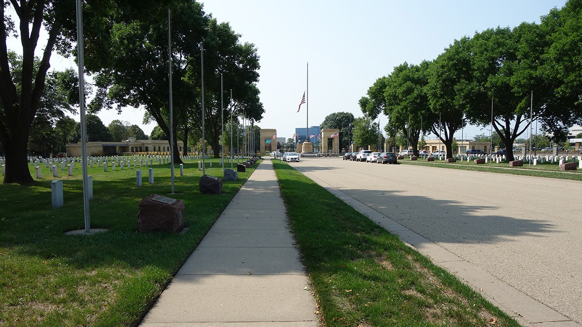
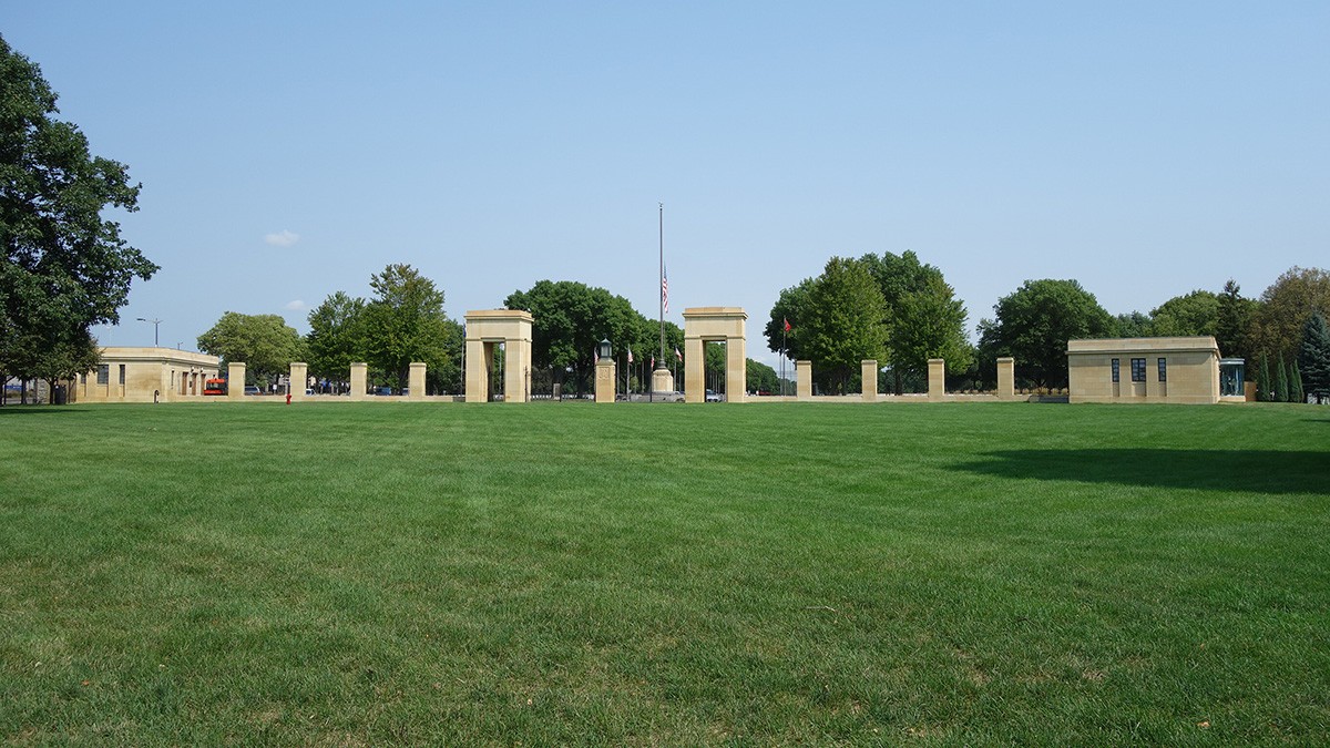
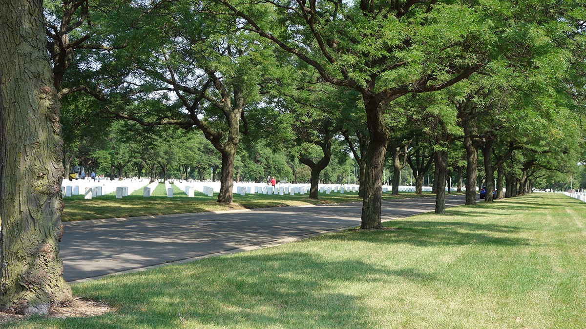
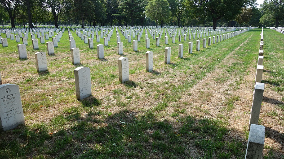
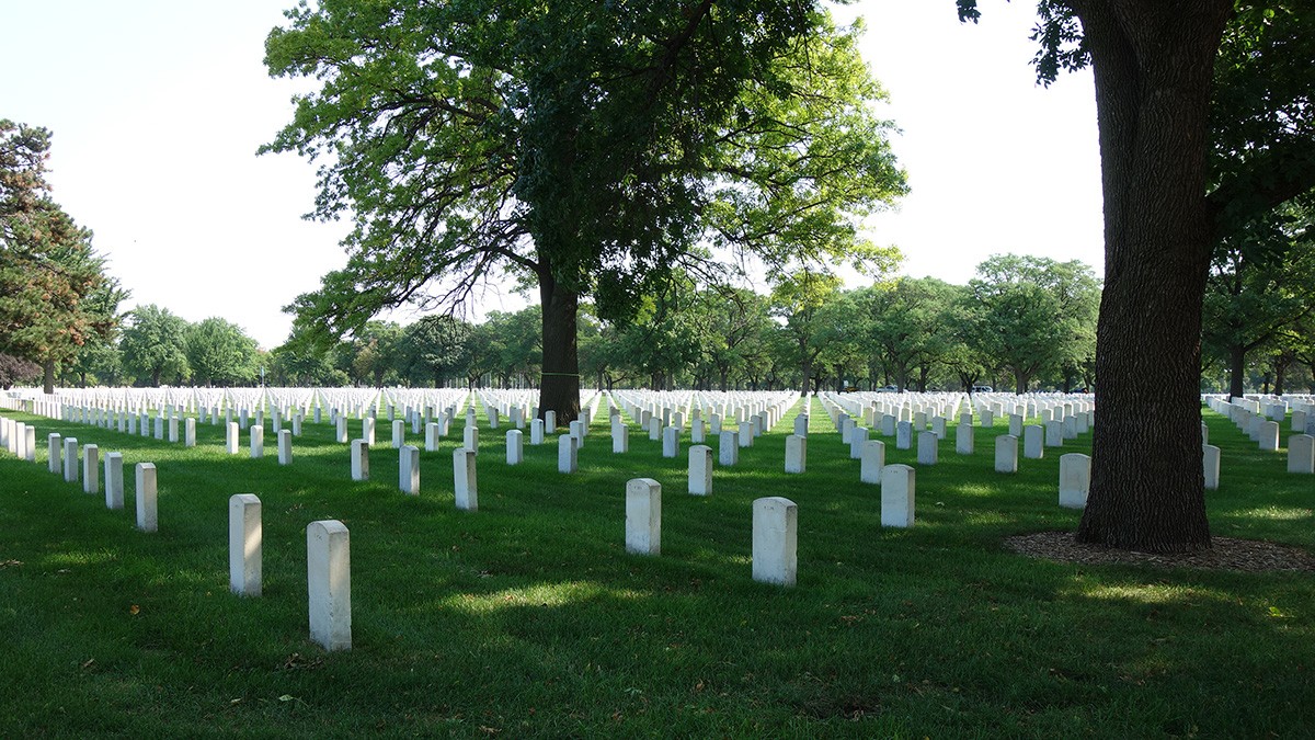
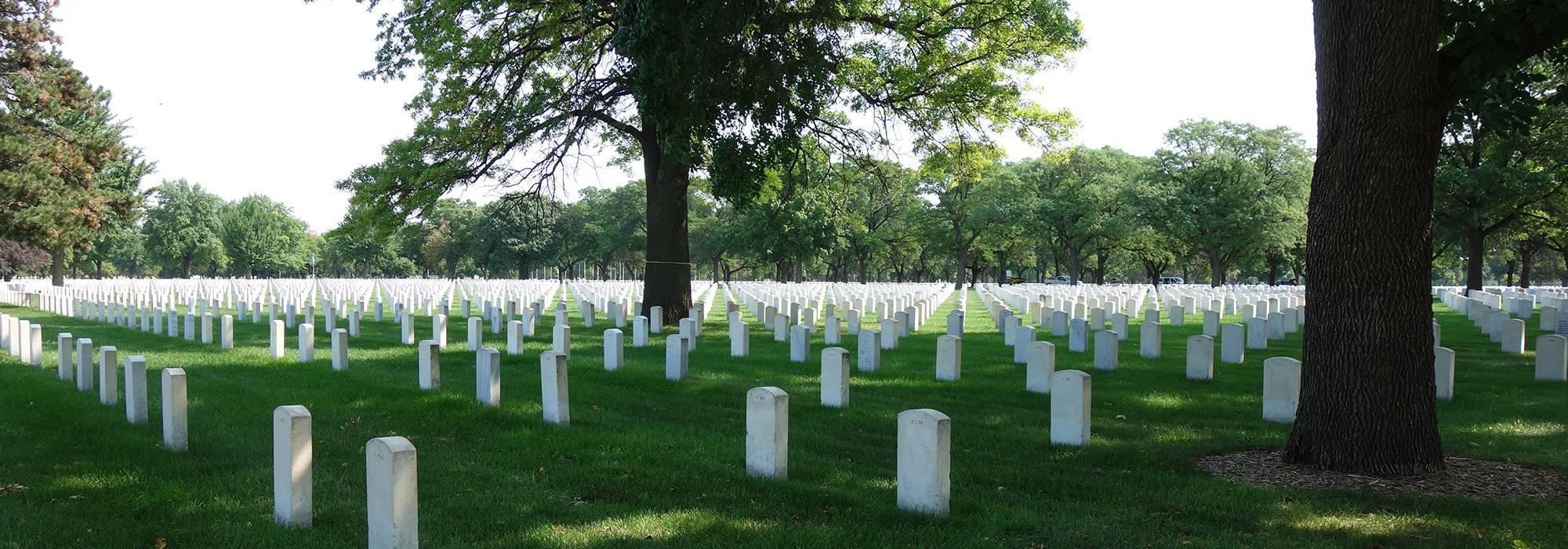
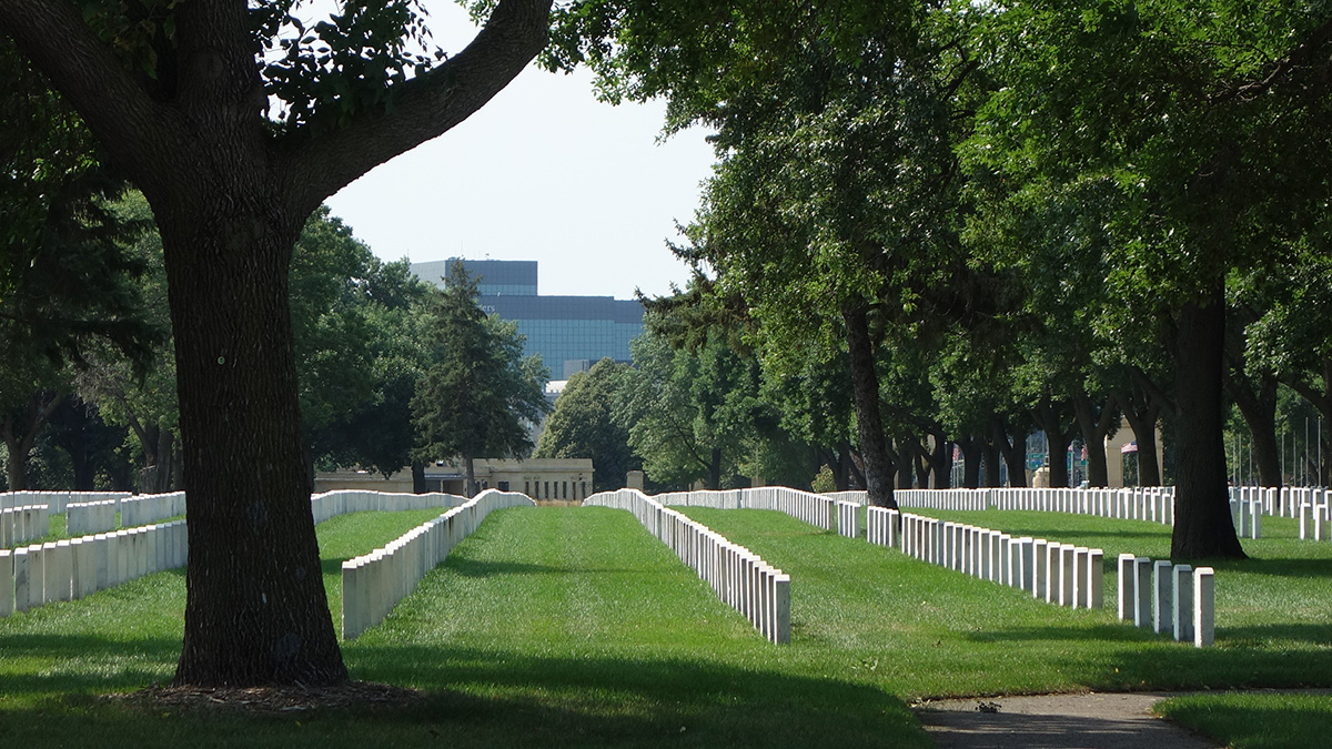
The Works Progress Administration (WPA) initially developed the site, establishing the main gate along 34th Avenue, delineated by a metal picket railing with limestone posts. Workers erected a Kasota stone lodge and pumphouse (now the Public Information Center) at the southwest corner. A flagpole monument (1940), encircled by a road, foregrounds the building. From the monument, roads extend into the cemetery’s original area, creating wedge-shaped sections. The central axis, Mallon Road, is lined by flags, granite markers, and regularly spaced deciduous canopy trees. Additional allées shade drives throughout the grounds and canopy trees dot grass-covered sections, which include straight rows of nearly identical, mostly upright, white marble grave markers.
The wedge layout was continued as newer sections were developed in 1948 to Kraus Avenue and with the cemetery’s expansion of 146 acres in 1960 and another 177 acres in 1961. Brauer and Associates prepared a master plan in 1974 during which time berms were also established along the northern perimeter to serve as visual and aural screens.
Following a 2005 master plan by Landmark Engineering Ltd work was undertaken in the southeast section adopting a less formal layout with curvilinear roads, contrasting with the rigid geometry found elsewhere. In 2016 the cemetery was listed in the National Register of Historic Places.