Landscape Information
The earliest of seven municipal cemeteries in the city, Lafayette Cemetery No. 1 is located in the heart of the Garden District and is bordered by Washington, Sixth, Prytania, and Coliseum Streets. In 1832, city surveyor Benjamin Buisson was commissioned to develop a plan for the cemetery, which subdivided land between First Street and Toledano Street. Situated on the site of the former Livaudais Sugar Plantation, the cemetery was established in 1833. It was laid out in a cruciform plan, the intersecting drives built to accommodate funeral processions and originally paved with shells. The cemetery received its name from the City of Lafayette, which was annexed to the City of New Orleans as the Fourth District (the Irish Channel, Garden District, and Central City) in 1852.
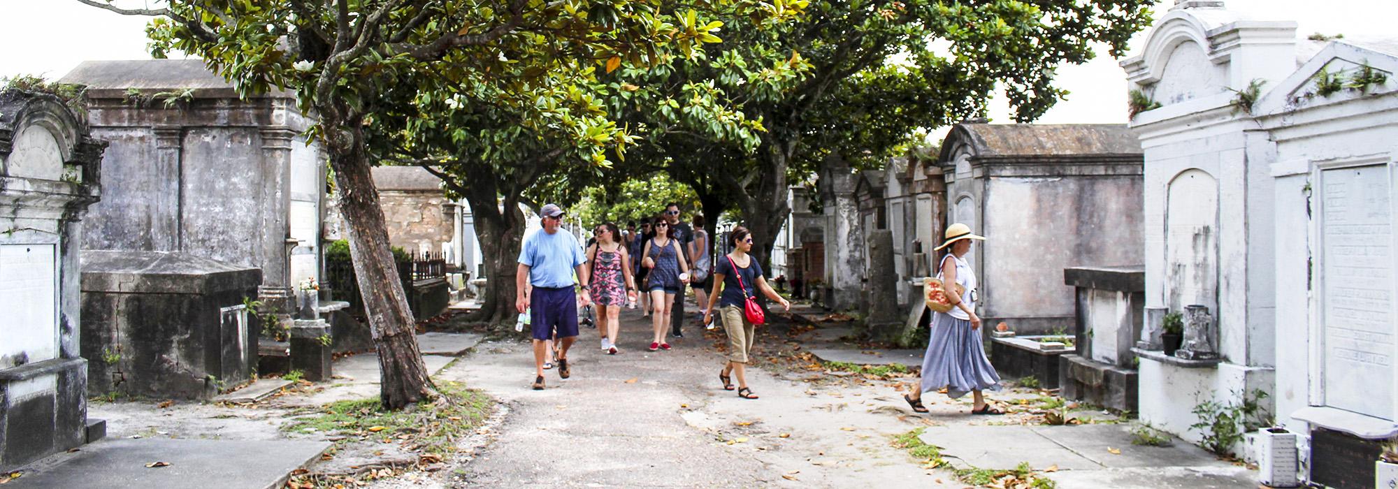
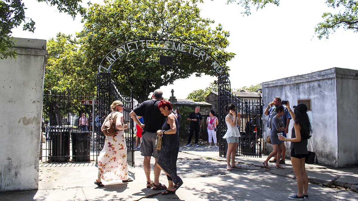
The one-block cemetery is surrounded by a white brick wall punctuated by gates at each end of the intersecting drives, the main entrance being located on Washington Avenue. The perimeter and the drives are lined with trees, the drives and graves also being lined with grass, giving the cemetery the appearance of a park. Within each quadrant, the graves are organized into rows separated by pathways. Along Washington Avenue, there are nearly 500 sealed wall vaults, only a few possessing engraved plaques. A non-segregated, nondenominational cemetery, it contains approximately 1,100 family tombs and over 7,000 people, representing natives of 26 states and immigrants from more than 25 countries. The nonprofit organization Save Our Cemeteries has restored more than 100 tombs, the first taking place in 1979. The Washington Avenue wall vaults were restored in 2009, and restoration began on 85 other tombs in 2012. Lafayette Cemetery No. 1 was listed on the National Register of Historic Places in 1972.