Landscape Information
In 1961 I.M. Pei & Associates devised the Government Center Urban Renewal Plan, which sought to reconfigure the city’s West End neighborhood and Scollay Square, an area near the harbor known for its cabarets and burlesque shows. Pei’s 60-acre Government Center, completed in 1968, featured 30 buildings for federal, state, and municipal offices alongside commercial space, and introduced Modernist design into the core of historic Boston.
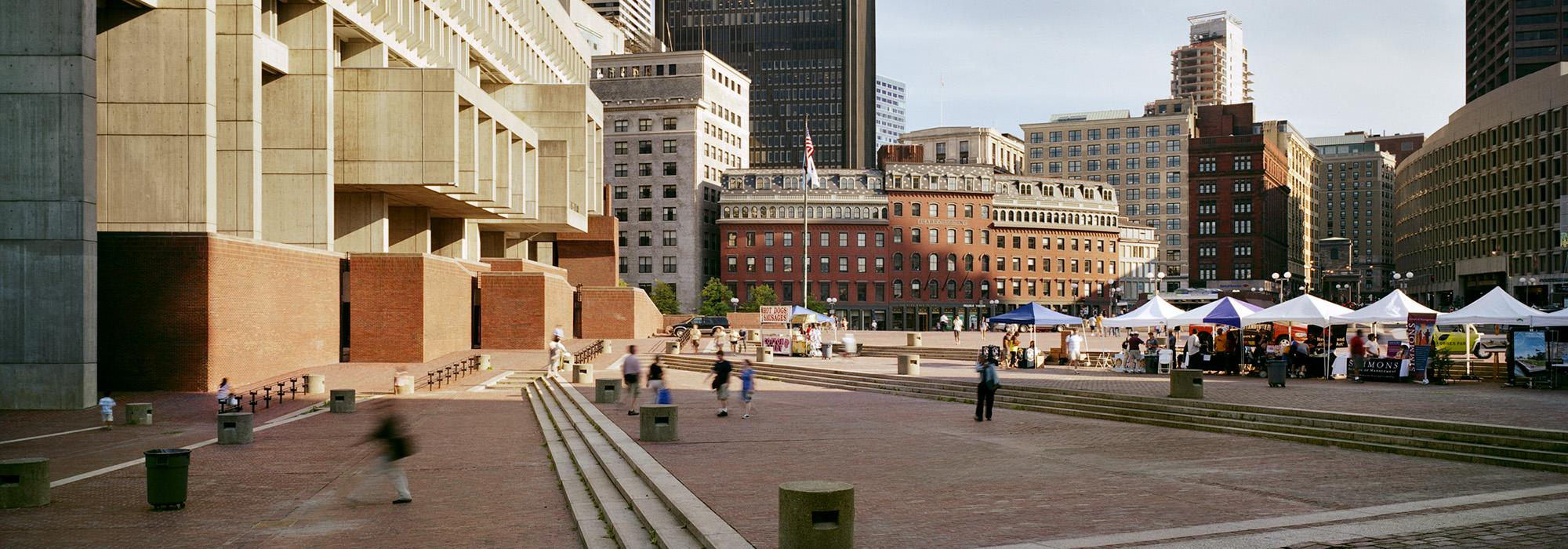
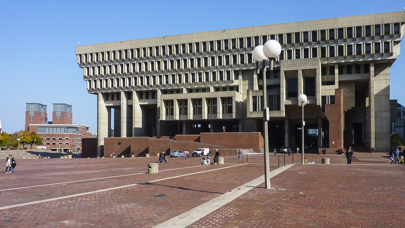
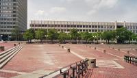
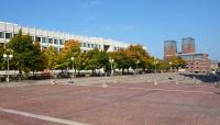
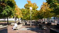
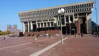
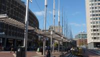
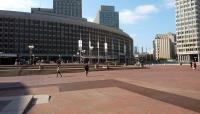
City Hall’s open, eight-acre plaza is Government Center’s central focus. Designed by Pei and based upon the Piazza del Campo in Siena, Italy, the plaza is integrated with the Brutalist-style, pre-cast concrete structure designed by architects Kallmann McKinnell & Knowles. Pei’s master plan stipulated the building’s height, location, and architectural program as well as the irregular shape and form of the surrounding plaza. The plaza, operating as a multi-level forecourt, is paved in brick, recalling Beacon Hill’s historic streetscapes. While the plaza’s central expanse appears flat, it gently slopes down from east to west, with the northern half terraced and stepped to negotiate the grade change from Cambridge to Congress Streets.The plaza’s northern border is lined with a gridded bosque of maple trees which shade angular, concrete benches. An original feature, a pie-shaped, sunken seating area with a fountain in the northwest corner, was paved over in 2006. More recently, a transit station with associated outdoor spaces was completed in 2016 by Halvorson Design Partnership with HDR, Inc. The following year, Reed Hilderbrand and Utile created a new master plan and in 2020 Sasaki began renovating the plaza to improve accessibility and sustainability.


