Landscape Information
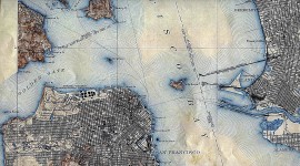
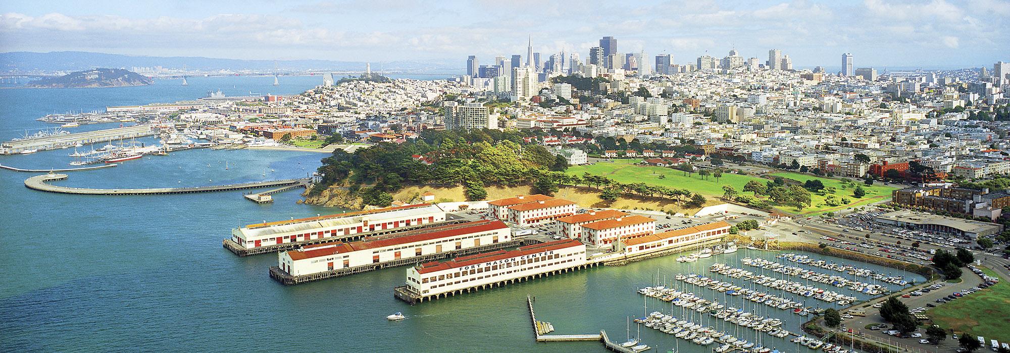
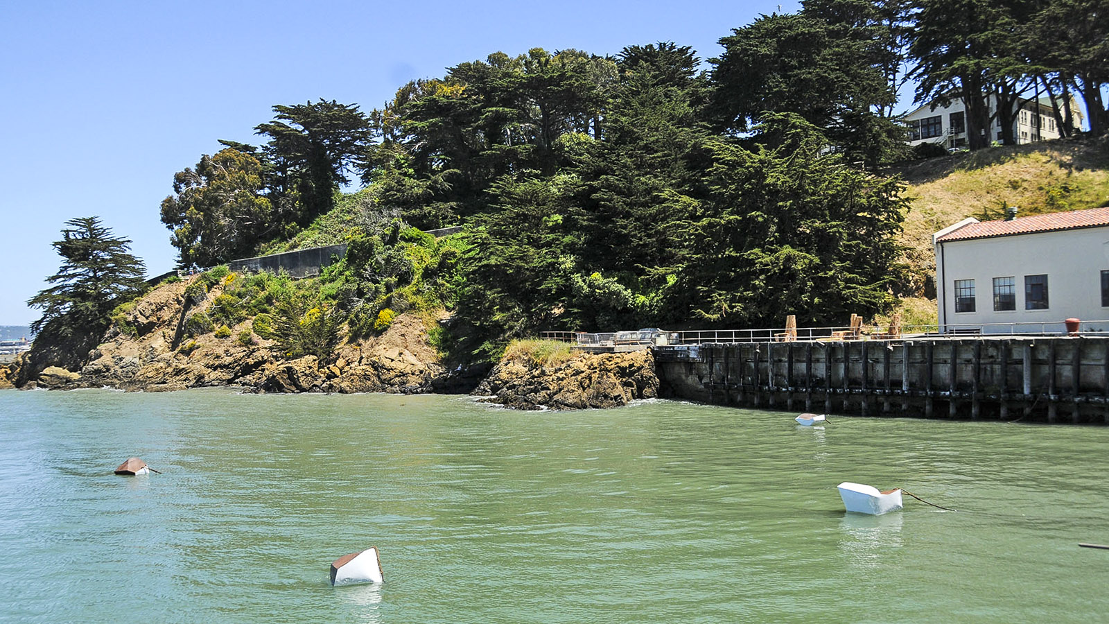
Situated on 68.5 acres overlooking San Francisco Bay, Fort Mason is defined by two distinct areas: Upper Fort Mason and Lower Fort Mason. The rocky spit of land was first occupied as a Spanish military installation in the late 1700s; the U.S. Army established the U.S. Military Installation at Point San Jose, also known as Black Point, in 1850. Renamed Fort Mason in 1882, the site was one of two maritime military defense posts for the city. In 1910 it became the headquarters for the San Francisco Port of Embarkation, where army personnel and supplies were filtered to and from Hawaii, Alaska, and the Pacific. The piers and warehouses were designed by Rankin, Kellogg and Crane in the Mission Revival style. In 1915 vacant land was used to host part of the Panama-Pacific International Exposition. After a development peak during World War II, the Port of Embarkation ceased operations in 1963. Control of Fort Mason was transferred to the National Park Service in 1972, which led to a 1978 master plan for Upper Fort Mason by Royston, Hanamoto, Beck and Abey. Consequently, the Great Meadow was turned into gently sloping open space. In that same period, the Fort Mason Center opened, and the site became part of the Golden Gate National Recreation Area. In 2012 a competition-winning conceptual plan by West 8 aimed to make the Fort Mason Center a regional cultural destination. Fort Mason was listed in the National Register of Historic Places in 1972, with Lower Fort Mason designated a National Historic Landmark in 1985.