Landscape Information
Sited in a wide oxbow of the Housatonic River within a vale formed by the Taconic and Green mountain ranges, Dodgetown was established in 1760 and incorporated in 1777, at which time it was renamed for Continental Army General Charles Lee. Formulated as a typical New England village on a six-mile square, the town’s geographic center was marked by the meeting house sited on the corner of Main Street, a north-south artery, and Stockbridge Road (now Park Street) running east to west. When the second Congregational Church was built in 1800, the original meeting house was razed and the parcel converted to a town common.
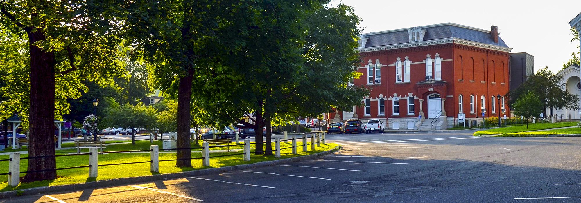
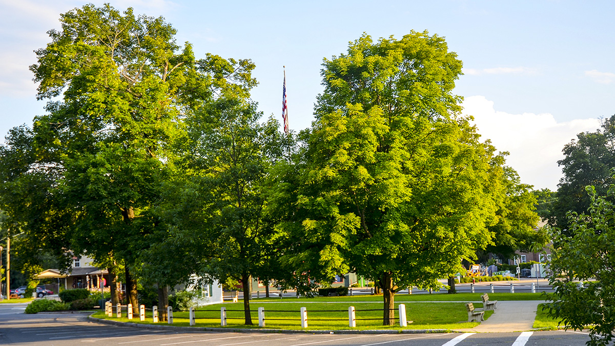
Fronting Memorial Hall and the Congregational Church, this elliptical island of lawn is ringed with mature deciduous trees and a marble-post and iron-rail fence erected in 1868. The generous expanse of lawn is transected by a diagonal sidewalk that links to Main Street. The park also features sheltered bench seating and a public drinking fountain sculpted from local marble in 1899 by Daniel Chester French, which incorporates an image of the Mohican Chief Konkapot. Between 1992 and 1998, landscape architect Craig Okerstrom-Lang designed and built improvements for Lee Town Park and the streetscape of Main Street. Improvements included accentuating pedestrian crossings, redesigning sidewalks and storefront access, and planting zelkova trees to replace the elm trees, which once lined the entire street.
Lee’s Town Park is included within the Lower Main Street Historic District, listed in the National Register of Historic Places in 1976.


