Landscape Information
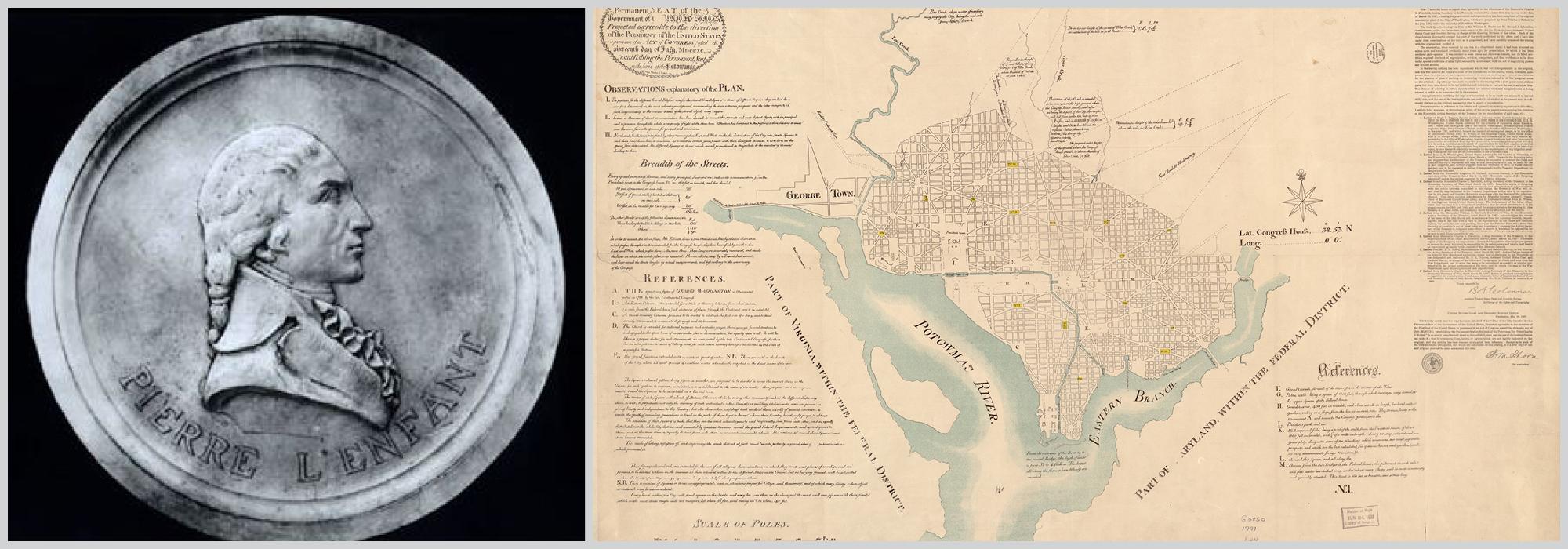
Laid out in a shallow topographical bowl at the confluence of the Potomac and Anacostia Rivers, the national capitol was originally laid out by Pierre Charles L’Enfant in 1791. The historic plan of Washington is the foremost example in the United States of two combined, nationally significant city-planning styles: the Baroque and the City Beautiful styles.
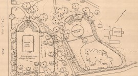
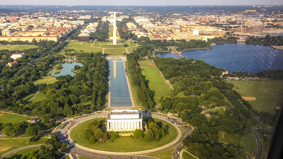
Many elements of the L’Enfant Plan took shape in the nineteenth century and exist today, including ceremonial parks and greenswards surrounding the seat of the federal government. Like the axes of the compass, and employing a Baroque structure of radiating avenues, with most diagonal and some orthogonal, an irregular grid of streets (designated numerically and alphabetically) is spread across four quadrants, with the U.S. Capitol serving as the declared center point. At the convergence of diagonal and orthogonal thoroughfares, a system of parks, reservations, (from large open areas to small geometric spaces), streets, avenues, open spaces, and vistas give physical shape to the design of the city.
Beginning in 1901-02, the McMillan Commission (officially, the Senate Park Commission) substantially amplified L’Enfant’s plan. Today, both the Baroque and the City Beautiful aspects of this plan are significant examples of their respective design philosophies, but the design and evolution of the two combined plans is even more outstanding as a unified entity unparalleled in American city planning.