Landscape Information
This park, contiguous with the Riverway, forms part of what was originally called the Muddy River Improvement, on the boundary of the City of Boston and the Town of Brookline. It was described by Frederick Law Olmsted, Sr., in 1881 as “a chain of . . . fresh water ponds, alternating with attractive natural groups and meads.” This linear park was added because of concerns regarding the pollution of the Muddy River.
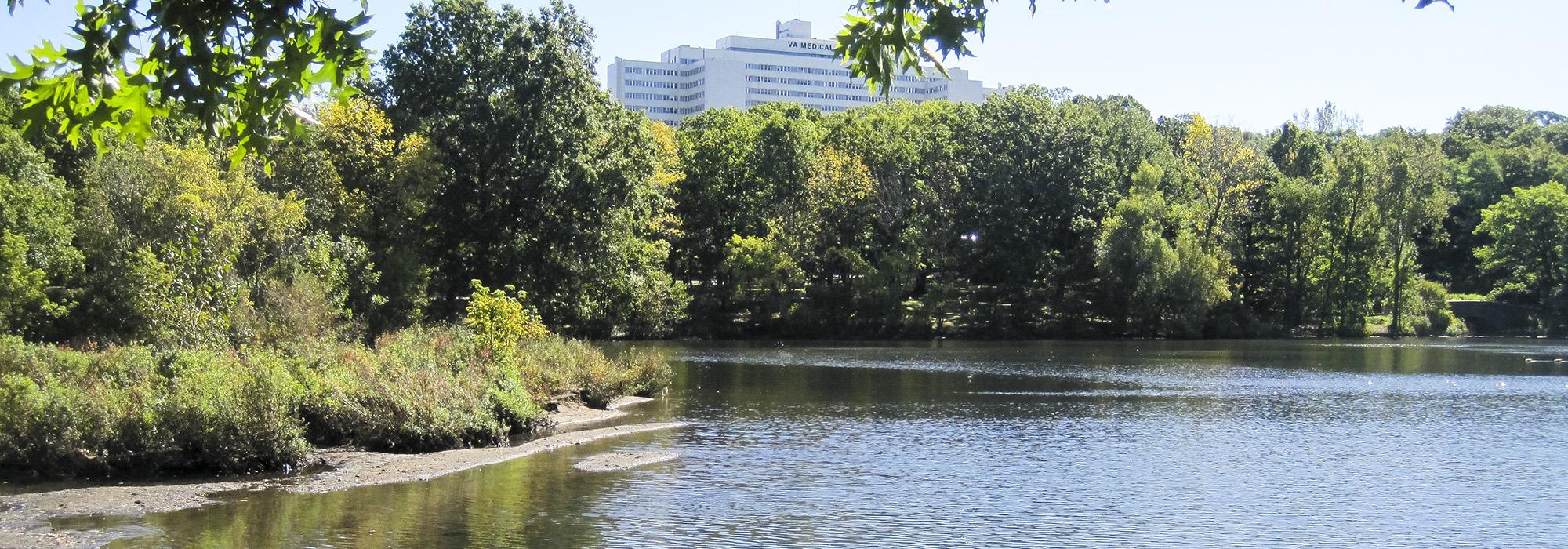
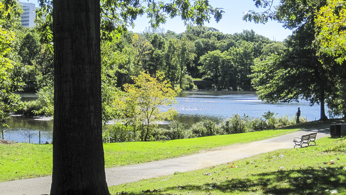
Connected by a common waterway, the 12.8-acre Leverett Pond, (the original name for the park) was renamed Olmsted Park in 1900. Other significant water features in the park include Ward’s Pond and Willow Pond. Richly planted along its banks with a diverse palette, today this seventeen-acre swath is the most forested section of the Emerald Necklace. As with the Riverway, the design incorporates a diverse collection of stairs and bridges, including the puddingstone footbridge at Ward’s Pond and granite bridges at Cumberland Avenue, the Cove Entrance, and Ward’s and Willow Ponds, with the design of the bridges benefitting from preliminary studies by John Charles Olmsted. Jamaicaway parkway runs along the southern edge of the park connecting the Riverway and Jamaica Pond. Olmsted Park was included in the Emerald Necklace Park master plan by the Walmsley/Pressley Joint Venture. Following the plan’s adoption, the 1965 skating rink was removed, and Pressley Associates improved the park’s shoreline, woodlands and circulation system, adding a bikeway and restoring the Riverdale parkway. Olmsted Park was listed in the National Register of Historic Places in 1971 as part of the Olmsted System nomination.