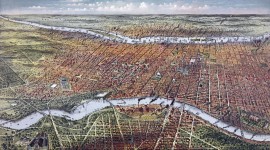
Landscape Information
This urban woodland in northwest Philadelphia encompasses 1,800 acres extending from the northern suburb of Chestnut Hill to Manayunk in the southwest. Its spine is the seven mile-long gorge of Wissahickon Creek, a tributary of the Schuylkill River which became a locus for regional industry. From the mid-18th century, the creek was dammed and diverted to power mills and manufacturing facilities along its banks.
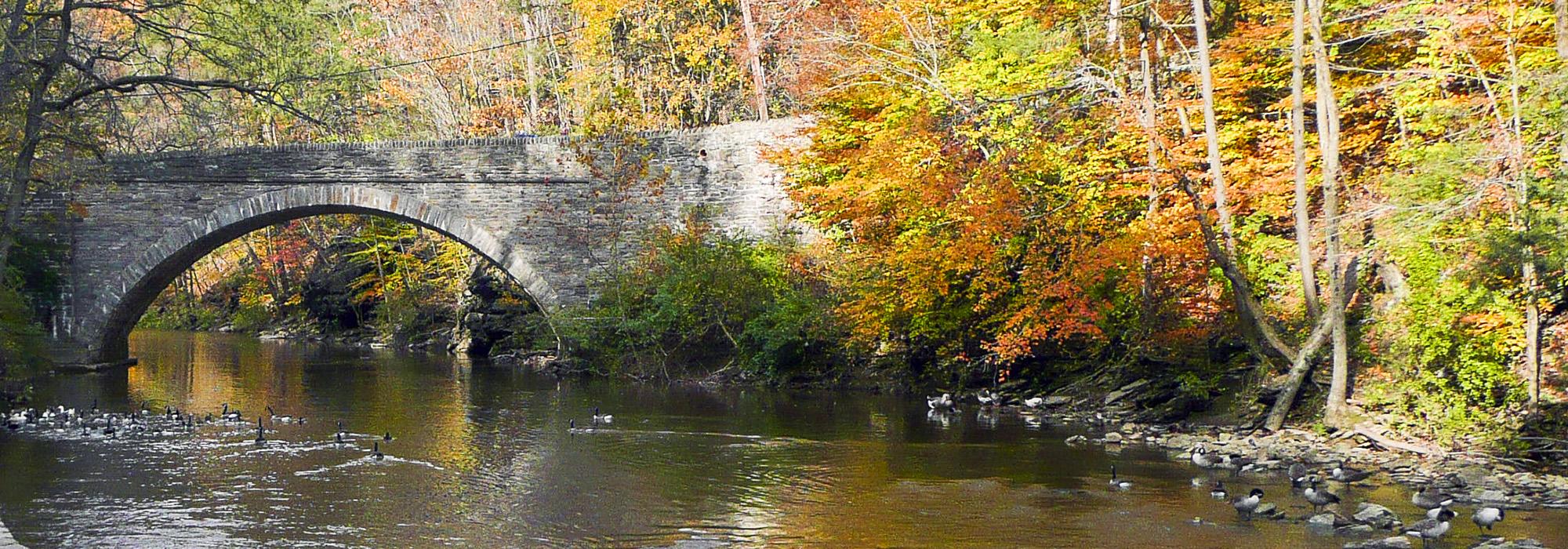
In 1868, the Fairmount Park Commission acquired the Wissahickon Valley land to protect the city’s water supply, and demolished most of the historic houses, mills and taverns that lined the vale’s steep, wooded slopes. The wide, gravel Wissahickon Turnpike, which skirts the western banks of the creek, was closed to vehicular traffic in 1923, earning it the name Forbidden Drive.
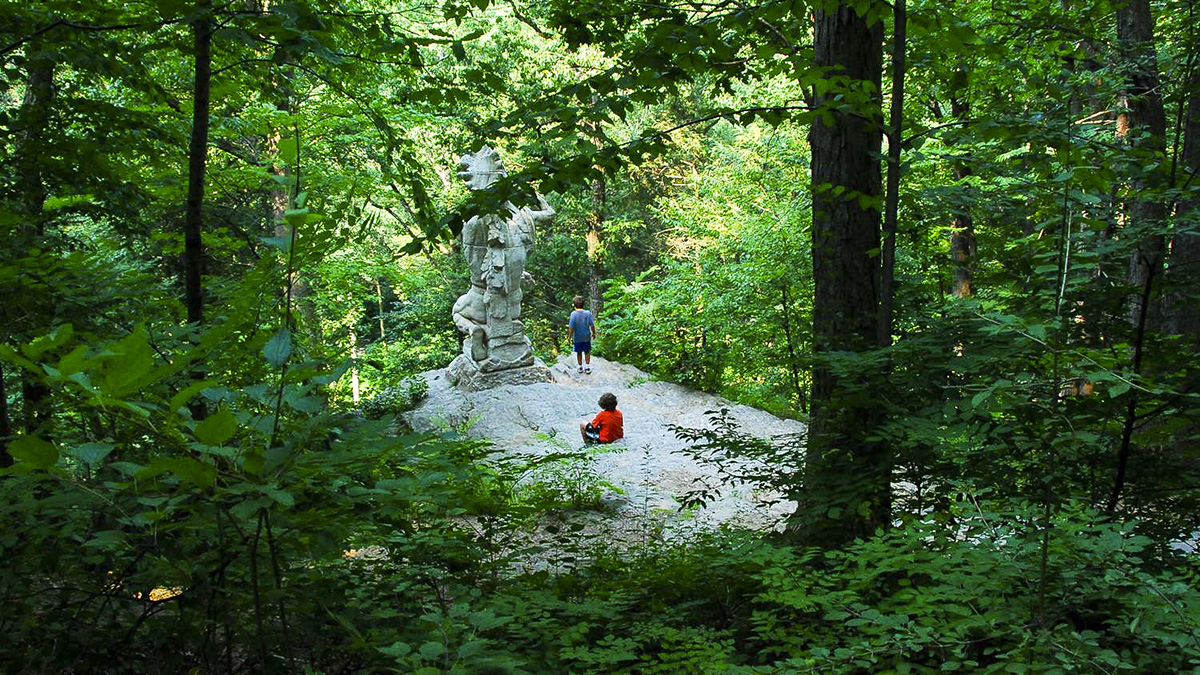
Today, the park's woodlands are redolent with maples, alder, birch, dogwoods, magnolias, and beech trees and reveal craggy schist, gneiss and quartzite formations. The steep cliffs are crossed by 57 miles of coarse trails, and include thirteen rustic shelters erected by the Works Progress Administration between 1935 and 1943. Vestiges of the early industrial landscape remain, including five stone arch bridges from the early nineteenth century and Rittenhouse Town, the site of America’s first paper mill. The park also incorporates sculpture, most notably Fingerspan, a pedestrian bridge created by artist Jody Pinto in 1987. Wissahickon Valley Park was designated a National Natural Landmark in 1964.