Landscape Information
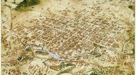
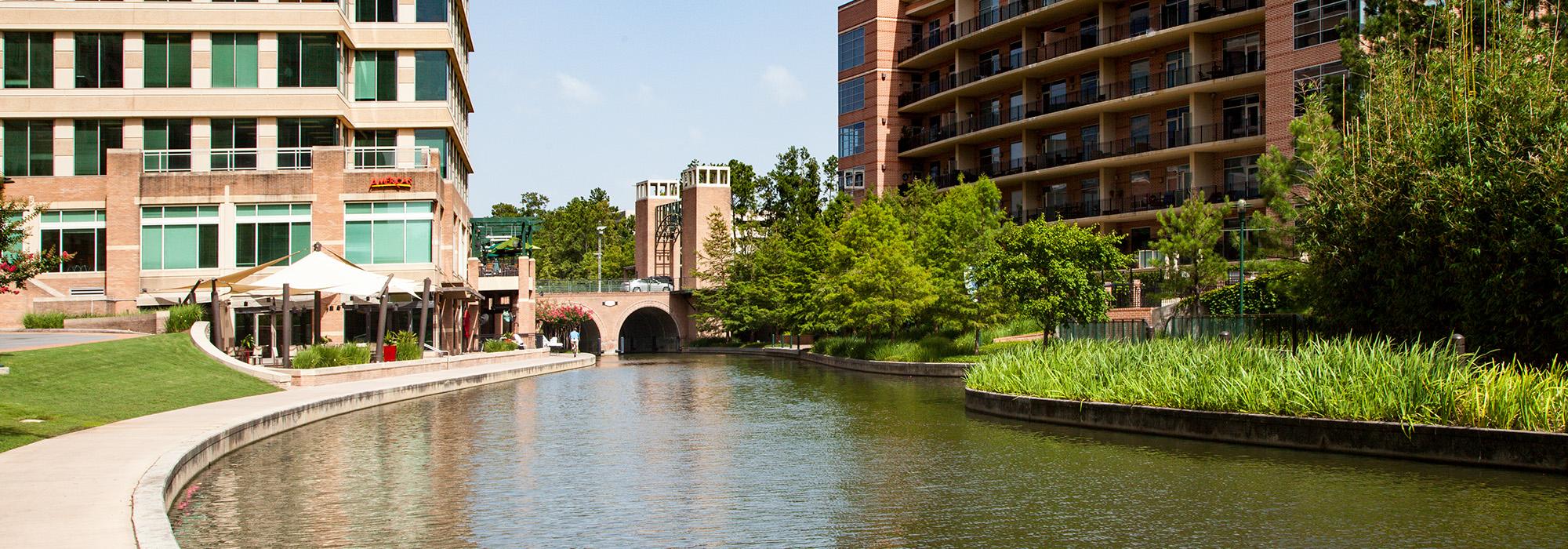
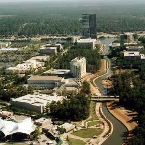
This 1,000-acre mixed-use development in The Woodlands is bisected by a constructed canal called the Waterway, which is used for transportation between residential, commercial, entertainment, and office districts. When The Woodlands was conceived in the 1970s, the area now occupied by Town Center was a dense forest. In 1972, architect Robert Heineman developed a conceptual plan for the area, which included a centralized transit axis that would connect office and residential clusters. In the 1980s, a natural depression (now the 203-acre Lake Woodlands) was engineered to function as flood control and to serve as a recreational amenity. Funded by federal grants, a 1.2-mile-long canal was then constructed between Lake Woodlands and a smaller manmade waterbody, Lake Robbins, on the east. In 1990, a performance pavilion was constructed on the Waterway and, four years later, the Woodlands Mall opened to the north of Lake Robins. Commercial and corporate investment followed, resulting in a build out of Town Center with numerous high-rises.
In 2003, Sasaki Associates was commissioned to develop a master plan to address transportation and public open-space issues. As part of that project, the firm designed the one-acre Waterway Square, which comprises trees planted on a grid, expansive lawns, and a central water feature with choreographed fountains, lighting, and music. Along the Waterway, landscape architecture firm Clark Condon designed pedestrian bridges, water-taxi turning basins, lighting, and fountains. Scattered throughout Town Center, several small parks provide opportunities for active and passive recreation.