Landscape Information
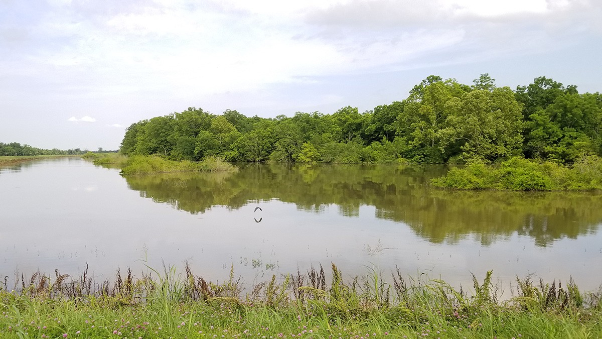
This oblong peninsula, situated in a bend of the Mississippi River some eight miles south of Baton Rouge and directly across the river from the city of Plaquemine, measures approximately ten miles long and one mile wide. River Road skirts the perimeter of the largely flat peninsula, with Highway 30 located to the east, running diagonally northwest to southeast. The half-wooded, half-cleared landform is located within the ancestral home of a number of indigenous tribes, including the Chitimacha, Houma, and Bayou Goula. The area was colonized by the French and Spanish and provided refuge for a group of Acadian exiles in the eighteenth century – several of whose descendants still reside in the region.
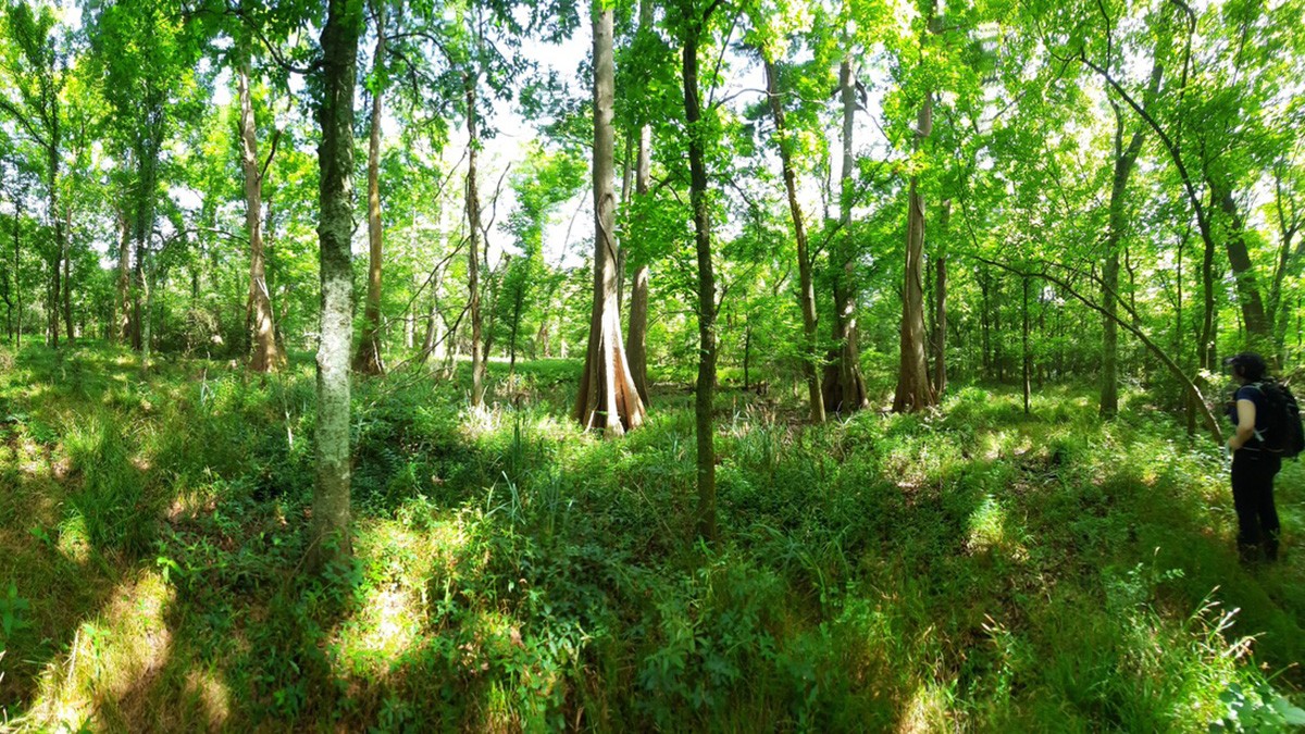
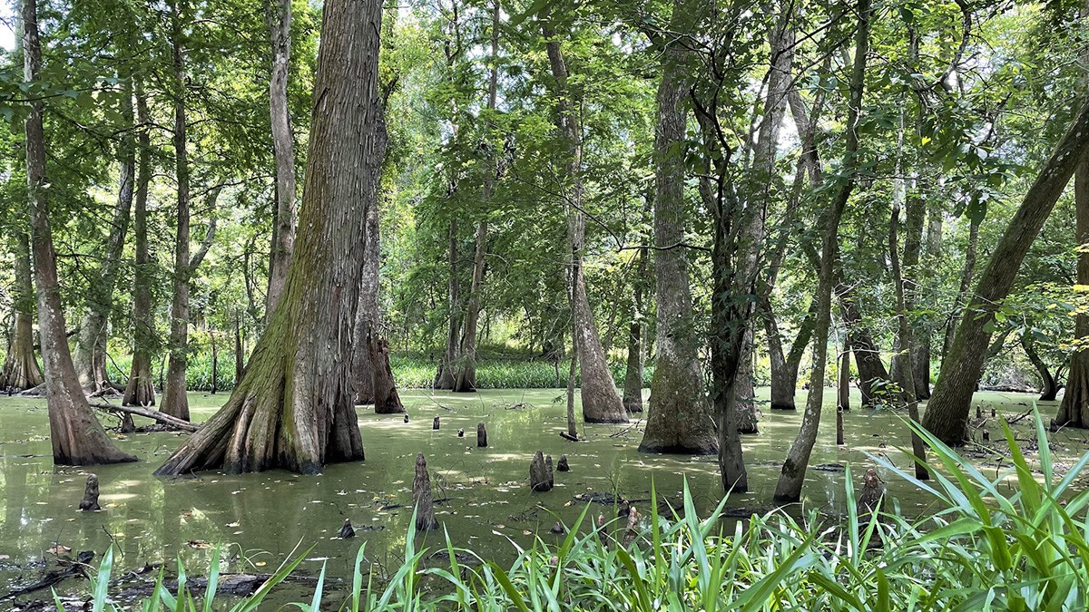
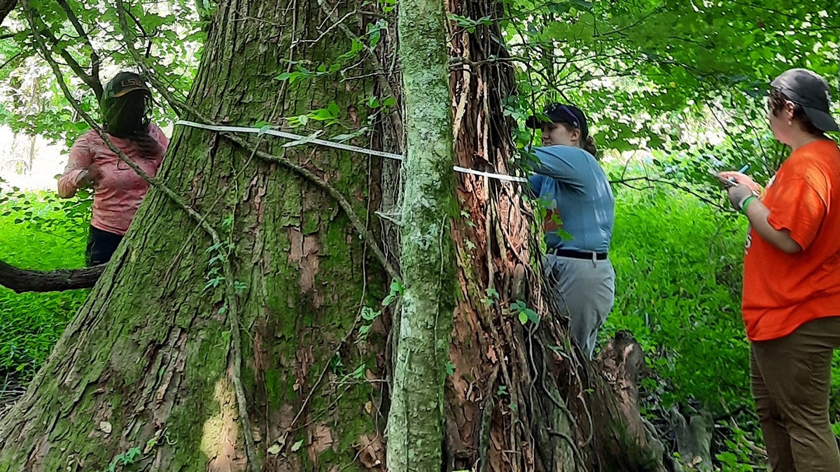
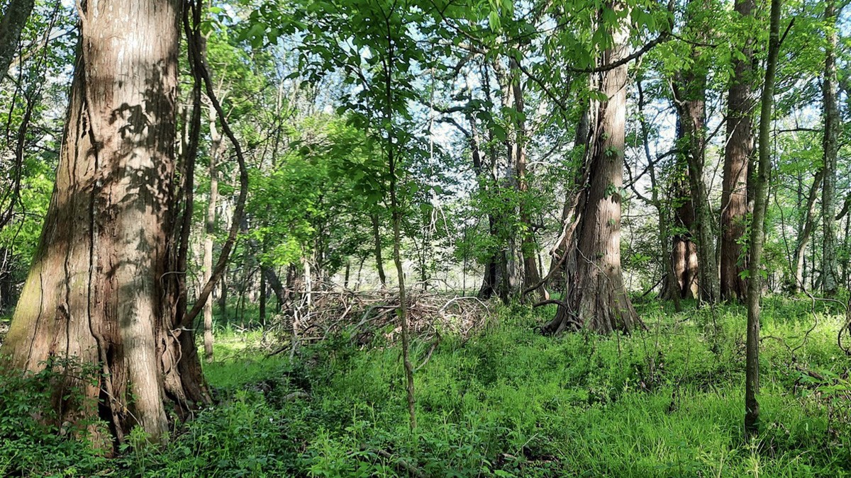
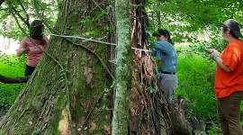
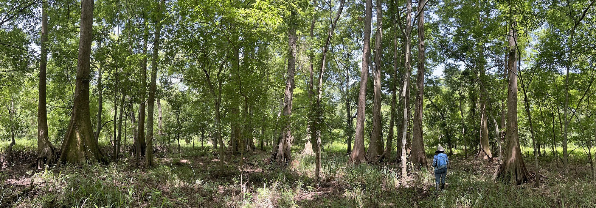
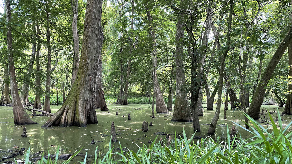
The landform’s center features the 60-acre A.E. LeBlanc Forest Natural Area, an old-growth cypress forest that contains specimens estimated to be between 220 and 360 years old. Several are registered as Legacy Trees, alive in 1803 at the time of the Louisiana Purchase and serving as living witnesses to the site’s history. An abandoned African American cemetery, with one remaining gravestone, that of an African American Civil War veteran, is nestled within the densely canopied landscape. The site is the only privately-owned old-growth forest in Louisiana included in the Old-Growth Forest Network. A riparian forest edges the entire peninsula, providing extensive wildlife habitat.
Two former plantations are located on the northern and southern edges of the peninsula, both listed in the National Register of Historic Places. The southern property, Lucky, was listed in 2002, and the northern property, Bagatelle, was listed in 2007.