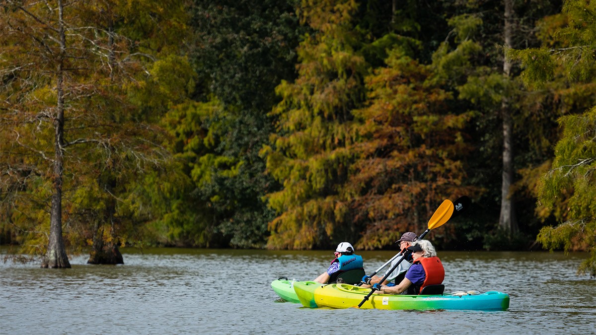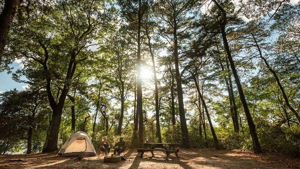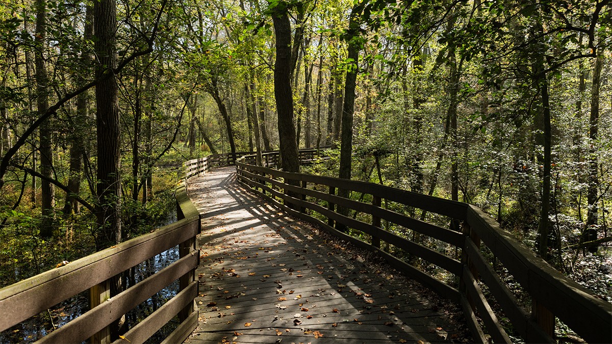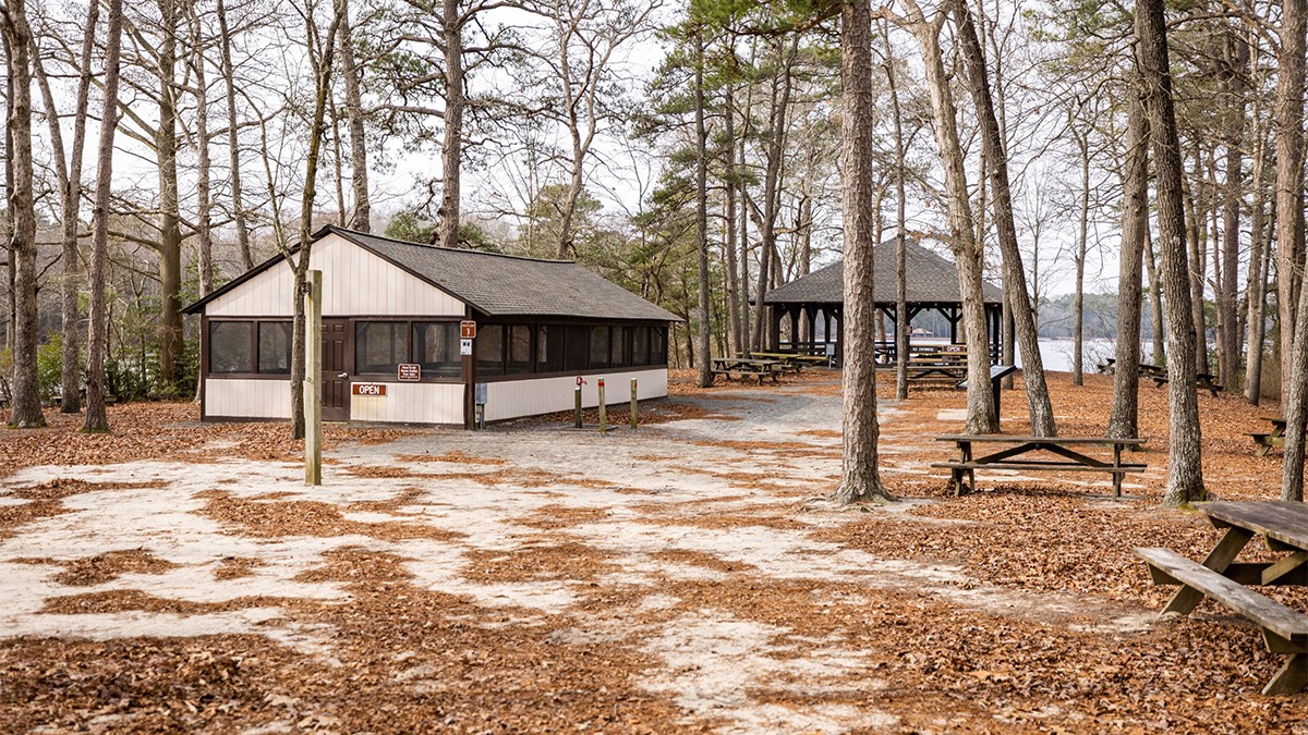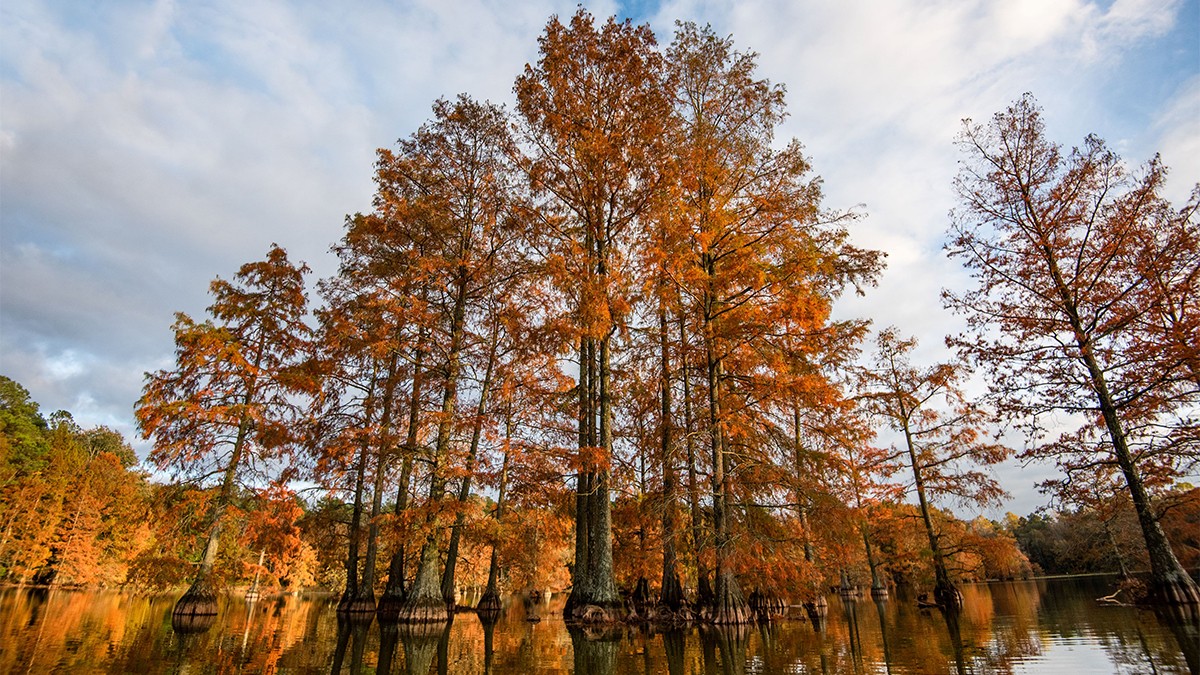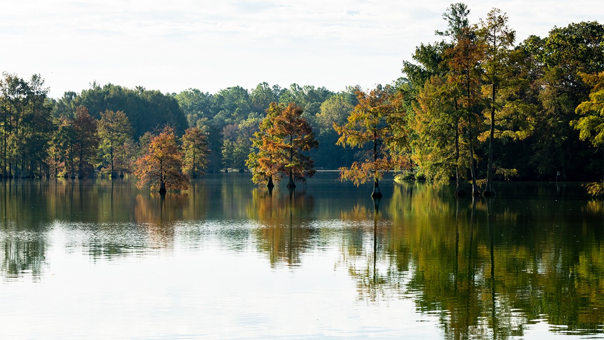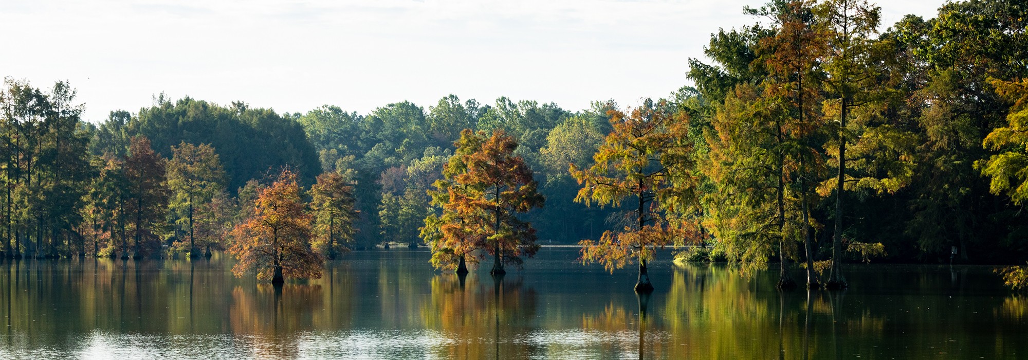

Located about five miles east of Sussex Highway and five miles north of the state’s southern boundary, this relatively flat, approximately 3800-acre park encompasses bald cypress swamps, expansive second growth forests, and a 90-acre water feature, Trap Pond. Accessed from the east via Trap Pond Road, the elongated pond is situated in the park’s northeastern section and includes campgrounds and an interpretive center. Over twelve miles of footpaths circumnavigate the pond, offering distinct ecological communities.
The pond was established in the late eighteenth century by damming a stream and was originally used to transport timber and power a mill. In the early 1930s a flood destroyed the dam, draining the water feature. The land was subsequently acquired by the Rural Resettlement Administration and from 1936 to 1937 the Civilian Conservation Corp (CCC) constructed a new dam, reestablishing the pond. In 1941 the park opened, offering myriad recreational amenities which were managed by the Soil and Water Conservation Service (now Natural Resources Conservation Service). In 1951 the park was acquired by the Delaware State Park Commission (now the Delaware Division of Parks and Recreation).
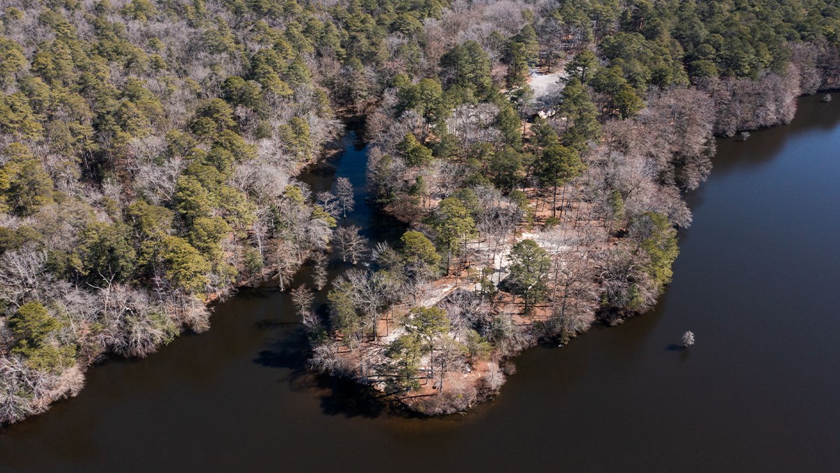
The park’s facilities and beaches were unofficially segregated until the mid-1960s, with African Americans relegated to Jason Beach, located on an approximately five-acre peninsula that extends from the pond’s northern shore. Named for Dr. William Jason, the second president of the State College for Colored Students (now Delaware State University) the beach served as a gathering space for African Americans, hosting religious ceremonies, including baptisms, and serving as a popular destination for fishing and swimming until the 1970s. Today, the densely canopied peninsula, shaded by deciduous trees and pines, includes a pavilion that frames southern and western views of the pond.