Landscape Information
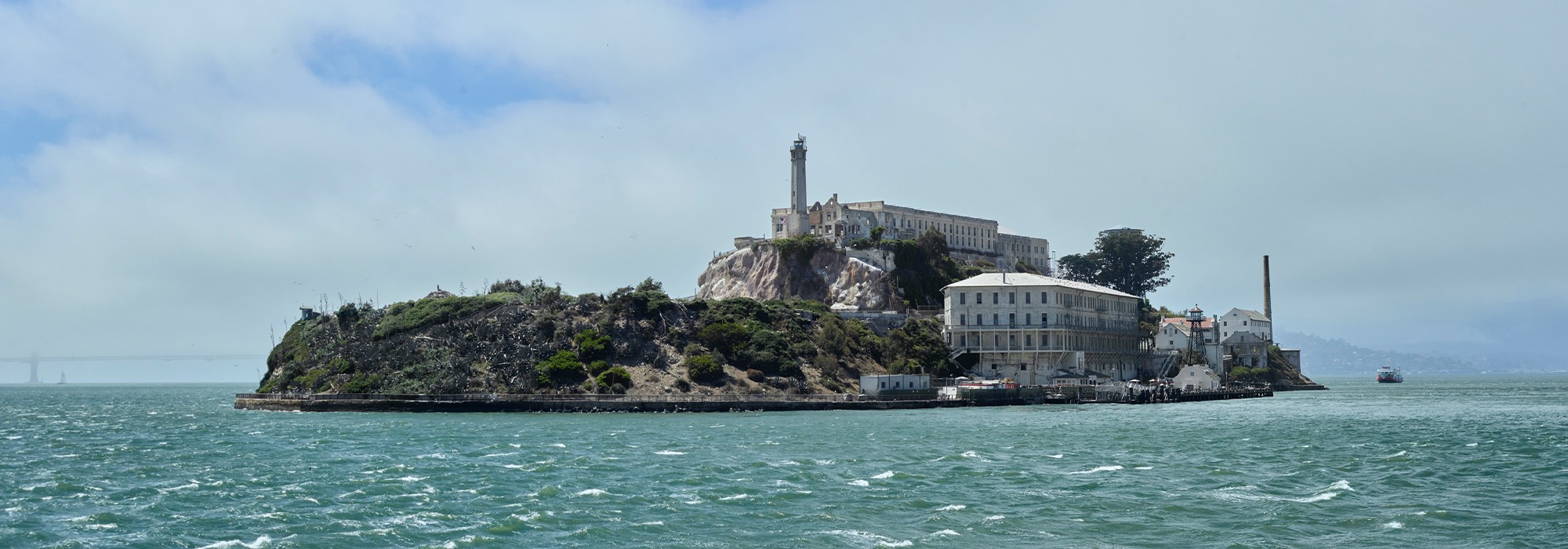
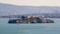
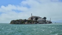
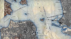
Located four miles east of the entrance of San Francisco Bay and edged by high cliffs, this 22.5-acre island was used by Native peoples for foraging, camping, and to temporarily isolate community members who broke tribal laws. Named “Alcatraces” by Spanish explorer Juan Manuel de Ayala in 1775, the island was acquired by the United States in 1848 and served as the site of the first lighthouse on the West Coast (1854), a military prison (1861), and a Civil War fortress. In the 1860s occupants planted gardens and modest lawns in excavated areas filled with imported soil. By 1869 an ornamental garden was established adjacent to the barracks (the Citadel) at the island’s summit.
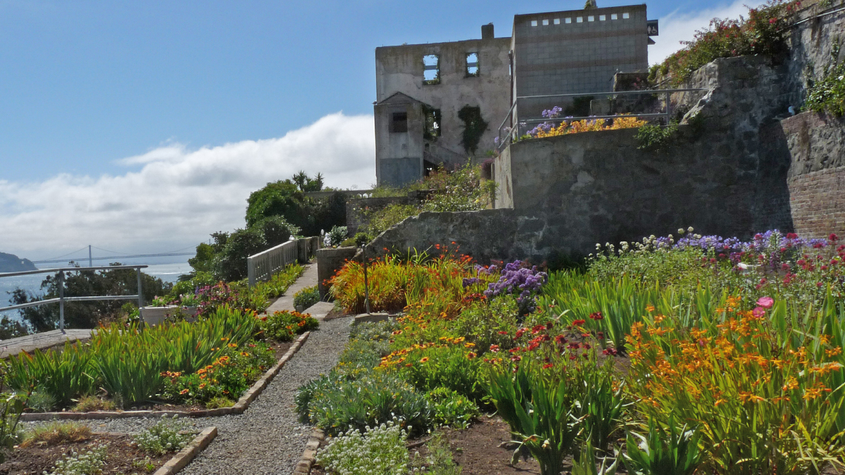
In the early twentieth century new prison structures were constructed and incarcerated soldiers planted hundreds of trees and shrubs, including eucalyptus, cypress, and pine. In 1934 Alcatraz became a civilian penitentiary and Freddie Reichel, secretary to the Warden, maintained and expanded the gardens, providing plants and horticultural advice to inmate gardeners.
The prison closed in 1963 and from 1964-1971 Alcatraz was occupied on three occasions by Native peoples. During the final occupation (1969-1971) activists painted political messages on numerous structures, including the prominent water tower (1940). In 1972 the island became a National Park as part of Golden Gate National Recreation Area. It opened to the public the following year.
In 1988 landscape architect Lawrence Halprin produced a planning study, Alcatraz: The Future, to guide the island’s transformation into a public park. Of his numerous proposals, only the Agave Trail on the island’s southeastern side was constructed.
From 2003-2014 five historic gardens were rehabilitated, including the Rose Terrace and Prisoner Gardens on the island’s northeastern and western sides respectively. In 2010 landscape architects Mundus Bishop prepared a Cultural Landscape Report and in 2012 the political messaging on the water tower, an iconic symbol of resistance and tribal sovereignty, was rehabilitated.
The island was listed in the National Register of Historic Places in 1976 and designated a National Historic Landmark in 1986.


