Landscape Information
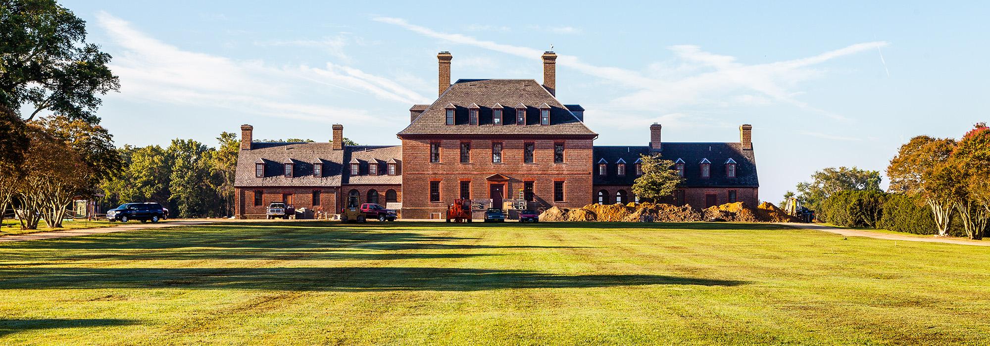
This historic residence downriver from Jamestown rests on high ground, with the James River to its south. A Native American burial site on the property demonstrates that the area was inhabited before English colonists of the Martin’s Hundred Society arrived around 1620. The colonists established a plantation that was later destroyed during the Indian Massacre of 1622. Robert “King” Carter subsequently purchased the grounds, and the late-Georgian-style mansion was built from 1750-1753 by brick mason David Minitree and, most likely, architect Richard Talieferro. In 1928 the mansion was expanded and the grounds were developed by landscape architect Arthur Shurcliff, known for restoring Colonial landscapes in Williamsburg.
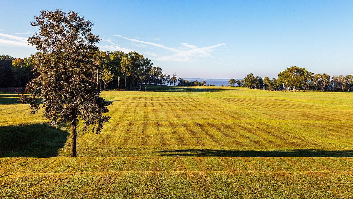
Shurcliff’s design for the property, originally 1,400 acres, framed the mansion with an oval road fronting its north façade and interrupting sweeping open vistas. From present-day Route 60, the plantation’s entry road runs straight for roughly half a mile before splitting into two roads bordering the long oval in front of the house. Using a sparse plant palette, Shurcliff accentuated the alignment with cedar trees along the straight road and locust trees along the oval-shaped road. A remnant of its agricultural past, the adjacent lands are mostly grassy, open space, while a horse stable is located on the mansion’s east side. Behind the mansion, the land descends to the river in terraces that may have once been the site of vegetable gardens. Along the beach, to the southeast, the heavily wooded shoreline contrasts with open views of the James River. At the property line along Grices Run waterway, the woods yield to low marshland vegetation. Carter’s Grove Plantation was listed as a National Historic Landmark in 1975.