Landscape Information
Located in northwest Nashville near Joelton, the land constituting Beaman Park was initially called Paradise Ridge (named for two early settlers, the Paradise brothers) and supported homesteads, farming, orchards, logging, and the production of moonshine. In the 1970s a 1,500-acre parcel was purchased and converted into a hunting preserve by physicians John Tudor and Robert McClellan of Blueberry Hill Partners. The land was subsequently purchased by local Nashville resident Sally Beaman, who donated it to the City of Nashville for use as a park.
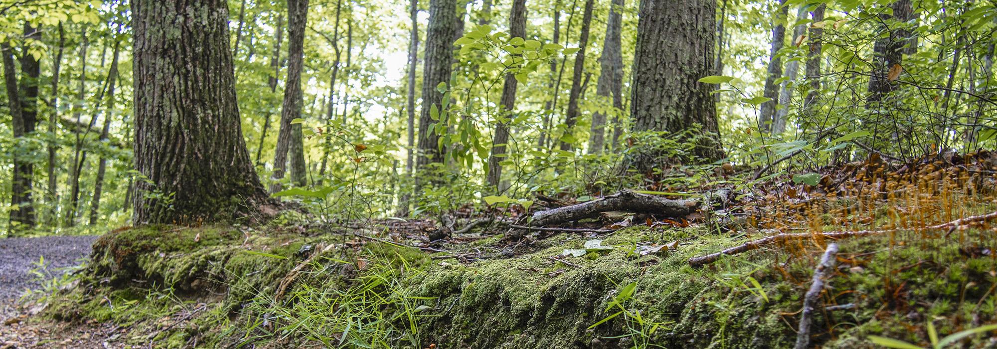
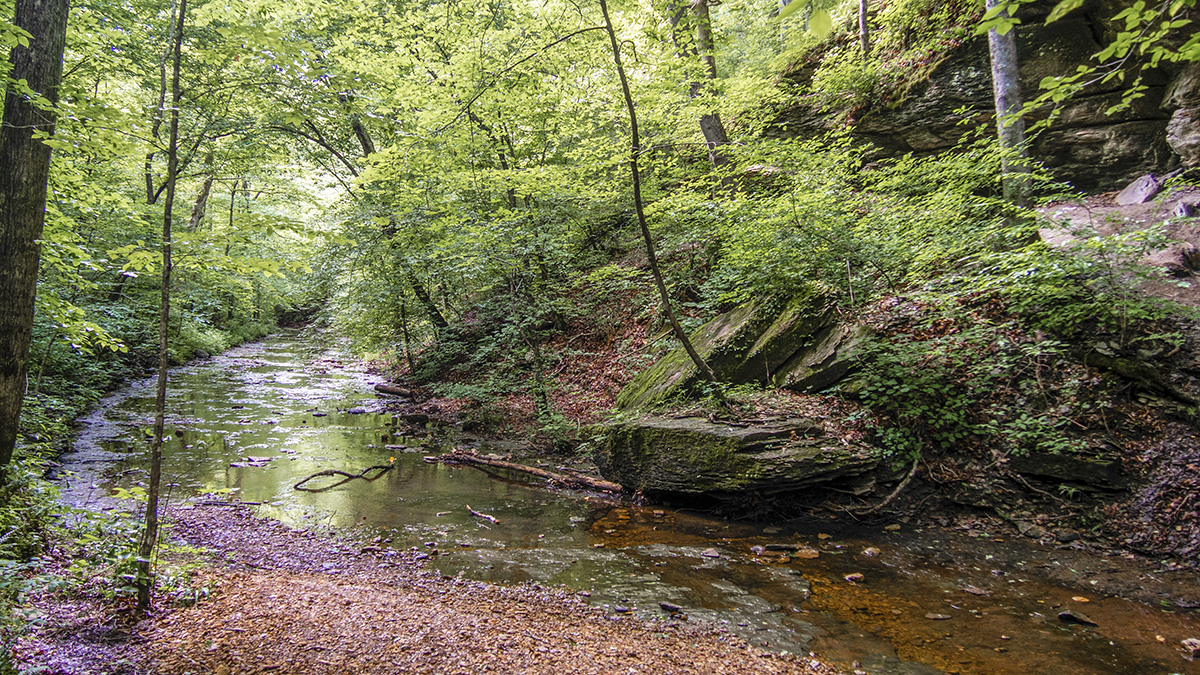
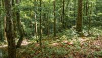
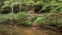
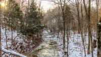
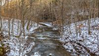
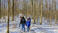
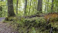
Lying on the Highland Rim (the escarpment that envelopes the Nashville Basin), the irregularly shaped park is bounded by Eatons Creek Road to the east, Old Hickory Boulevard to the southeast, Bull Run Road to the south, and Whitlow Mountain Road and Mayberry Lane to the west. Drained predominantly by the Little Marrowbone Creek in the north and Bull Run Creek to the south, the park comprises forested ridges and hollows. The steep, wooded slopes are dominated by oak varieties, while the creek bottoms feature mixed alluvial hardwoods, such as chestnut, white oak, hickory, beech, poplar, and sourwood. Outcroppings of shale and siltstones on the south- and southwest-facing slopes of the park create rare, grass-covered ‘barrens,’ while Henry’s Hollow Loop, to the northwest, contains an uncommon shortleaf pine population. The park is home to deer, bobcat, fox, coyote, flying squirrels, and other species, while the shallow creeks support snails, darter, minnows, and aquatic insects. Crisscrossed by hiking trails, the site also contains the Beaman Park Nature Center, which abuts the eastern boundary and houses a library that extends into a 300-foot-long boardwalk. In 2007 the Proctor family farm was donated to the park, expanding its total area to 1,688 acres. The property was formally designated Beaman Park in 2013.


