Located on a fertile floodplain six miles west of Nashville in an arcing loop of the Cumberland River, the site was once a center for Native American agriculture and trade. After the influx of European settlers, much of the area was populated by grist mills and working farms. Although the land passed through several owners, the current 808 acres that comprise the public park were once part of a 2,000-acre farm owned by the Buchanan family from 1890 to 1973. After being sold to Eastman Kodak, the acreage was acquired by the City of Nashville in the 1990s and slated for a landfill but was instead transformed into parkland, which opened to the public in 2007.
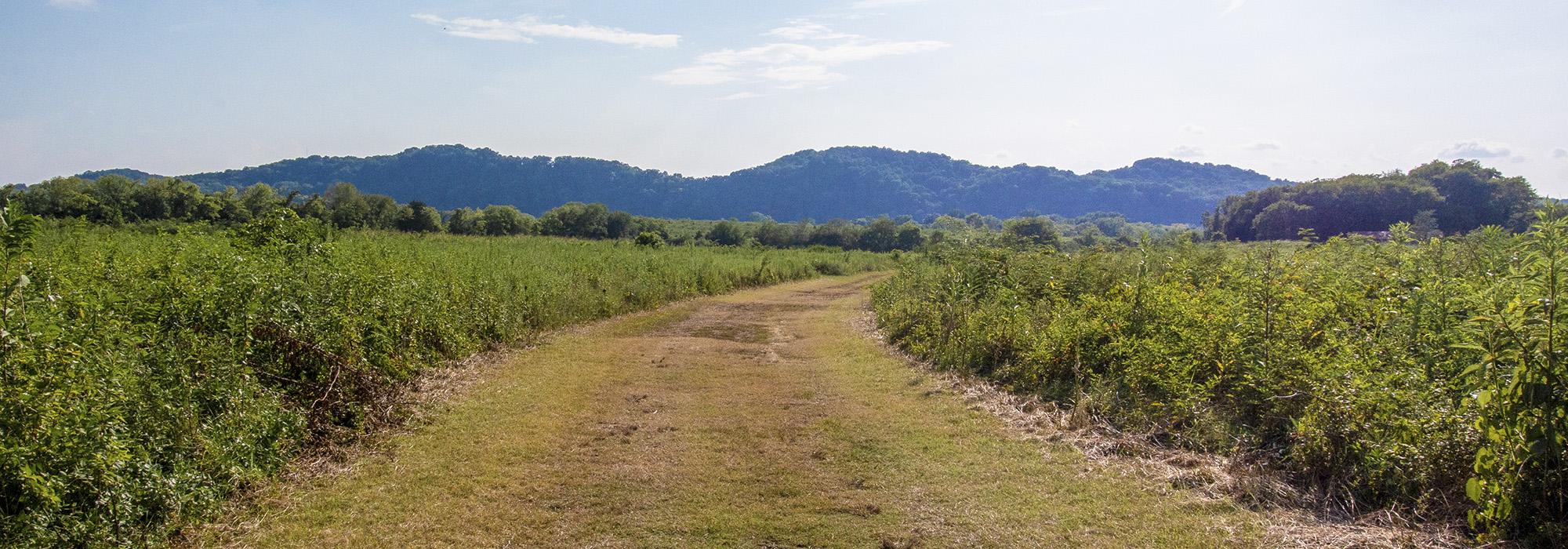
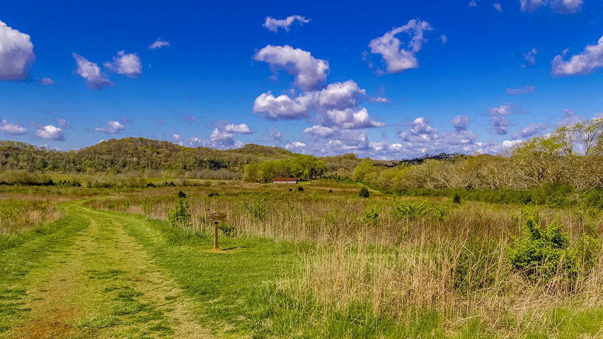
An undulating, pastoral landscape comprising open cropland, pastures, ravines, and riverbank, the park extends from the river along its western border to Old Hickory Boulevard on the east and is bounded by fencerows to the north and south. Tall forested ridges of the Highland Rim form the backdrop to the site, which is drained by three primary streams, the largest of which is Poplar Creek. The fields show traces of corn and soybean cultivation but have been left to revert to their natural, forested state. Sugar maple, beech, chinquapin oak, and burr oak trees are scattered throughout, while sycamore, silver maple, and cottonwood trees line the river. Crisscrossed by farm roads and some 7.4 miles of trails, the parkland also includes an expansive wildflower field and is home to a large population of nesting birds. The site is also significant for the richness of its archaeological remains, which include burial sites from the Paleolithic era, as well as artifacts from the Civil War. The historic Buchanan House and its outbuildings (all dating to the 1840s) are located in the northeastern section of the park beside a large pond.