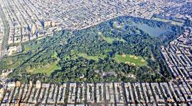
Landscape Information
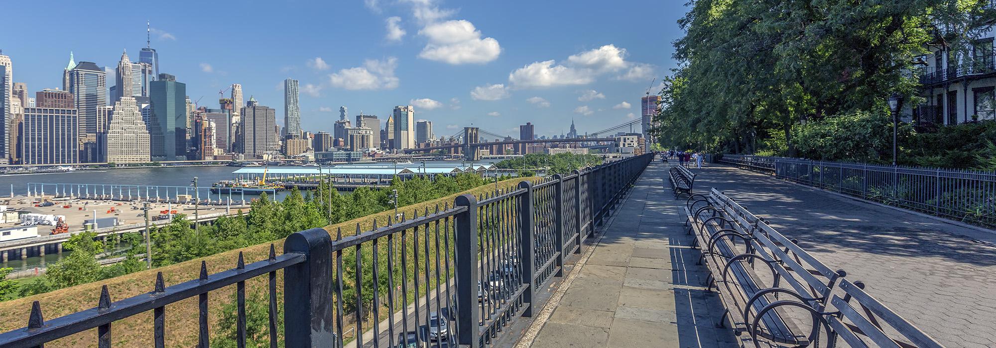
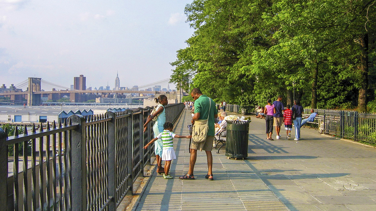
In 1941 Robert Moses, then the Commissioner of the New York City Department of Parks and the Chairman of the Triborough Bridge and Tunnel Authority, forwarded a plan to build a portion of the Brooklyn-Queens Expressway through the residential heart of the Brooklyn Heights neighborhood. In the wake of public opposition to that plan, the expressway’s location was moved to the neighborhood’s western edge. Designed in 1946 by Clarke & Rapuano, the iconic 11.7-mile expressway and a 1,826-foot-long public parkway atop it were constructed along the East River escarpment, both conserving space and minimizing intrusion into the surrounding Brooklyn Heights neighborhood. Opened in 1950 and running between the Brooklyn Bridge and the Atlantic Avenue Interchange, the eight-block-long, three-level cantilevered structure includes two three-lane roadways on its two lower levels, while the promenade occupied the topmost tier at the street level of the neighbourhood. The walkway is edged with fencing and lined with wrought-iron benches on the west, affording sweeping views of the Brooklyn Bridge, Lower Manhattan, and New York harbor. Abutted on the east by plantings and the adjoining residential properties, the promenade is connected to the half-acre Pierrepont playground, Adam Yauch Park in the south, and Fort Stirling Park, Harry Chapin Park, and Fruit Street Sitting Area in the north. An innovatively designed footbridge called the Squibb Park Bridge (just past the northern end of the promenade) links to the shoreside Pier 1 in Brooklyn Bridge Park. The promenade is a contributing feature to the Brooklyn Heights National Landmark Historic District, listed in the National Register Places in 1965.