Landscape Information
Located within Harpers Ferry National Historical Park on an expansive knoll, this 32-acre site overlooks the confluence of the Shenandoah and Potomac Rivers. The parcel is crossed by the east-west oriented Fillmore Street and bordered by the Appalachian Trail to the south.
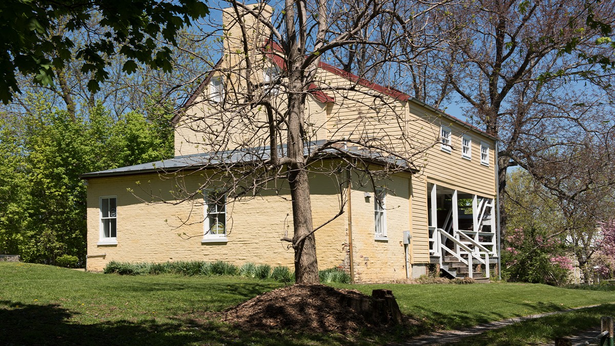
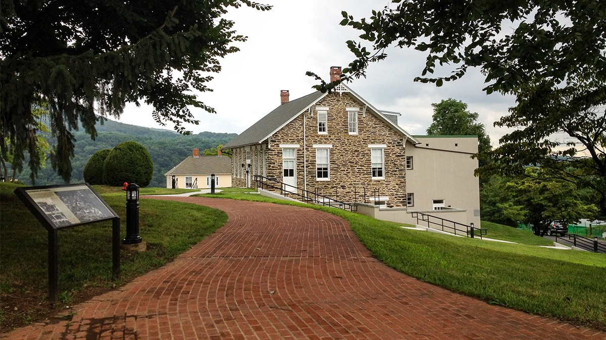
In the 1840s federal armory residences were sited atop the knoll; during the Civil War the landform was used by Union and Confederate soldiers as an encampment area and surveillance point. In 1865 a school for formerly enslaved African Americans was established in a former residence. The school grew into Storer College, which expanded across Camp Hill in 1869.
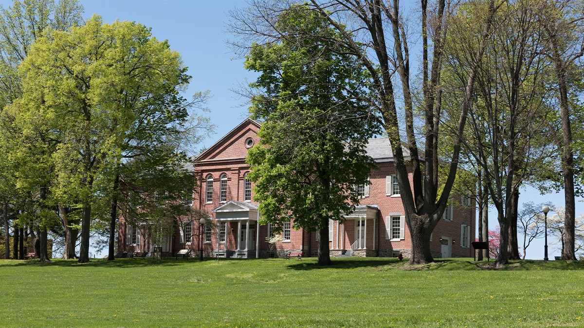
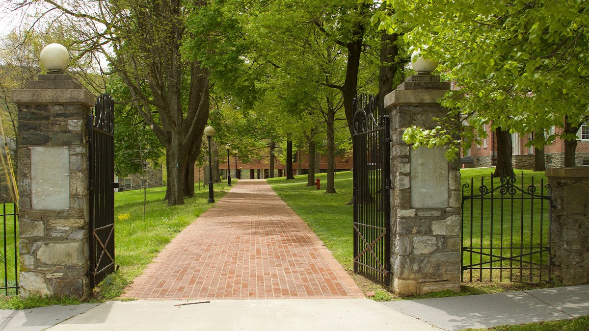
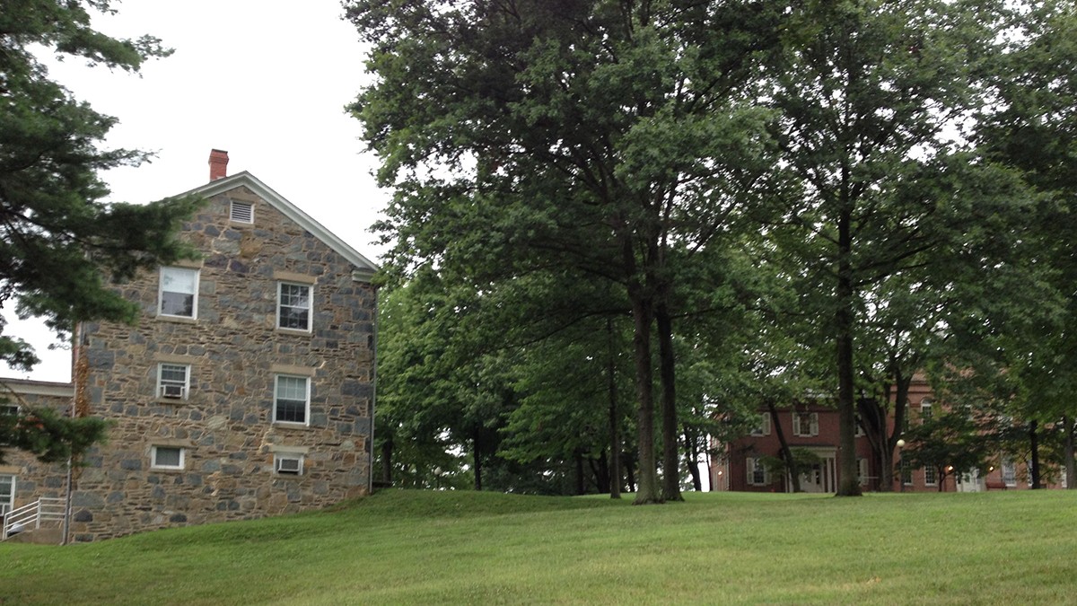
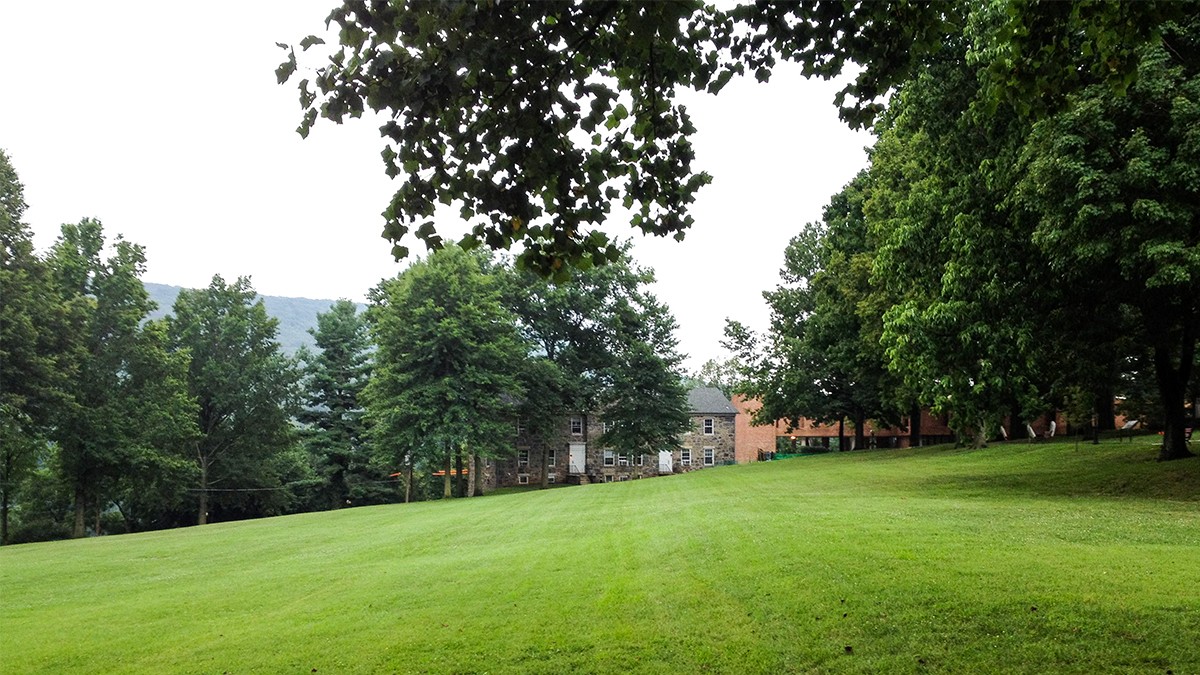
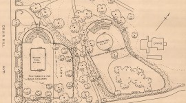
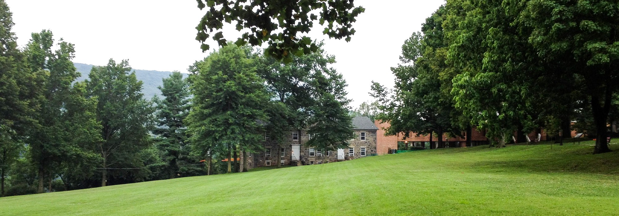
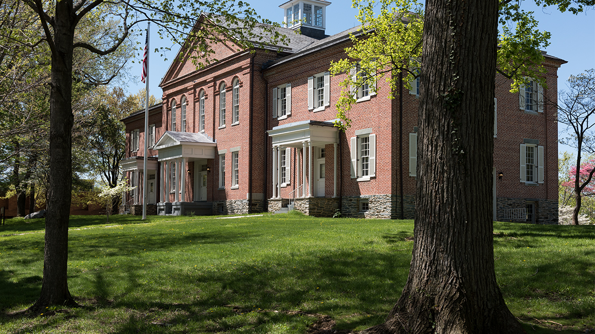
The former armory superintendent’s residence, located at the knoll’s summit, served as the institution’s main building, which by 1909 was surrounded by dormitories, academic buildings, and athletic fields. A linear tree-lined drive and parallel path led south from Fillmore Street, fronting the building’s eastern façade, separating it from a sloped campus green. In 1923 two limestone pillars were erected at the drive’s northern entrance and an iron fence was constructed along Fillmore Street. In the 1920s and 1930s two campus master plans were produced, including one by landscape architect T. Stuart Haller, which was not fully executed. The college closed in 1955 and acquired by the National Park Service in the 1960s.
Today, the drive and brick paved path, lined with oaks, elms, and maple trees, follows the historic alignment. It provides access to the former main building (now Mather Training Center) and offers panoramic views east. The campus green, with perimeter plantings of maples and oaks, connects to the Appalachian Trail via a footpath.
In 2001 approximately 25 acres of the Storer College campus was listed in the National Register of Historic Places. Heritage Landscapes completed a Cultural Landscape Report for Camp Hill in 2009.