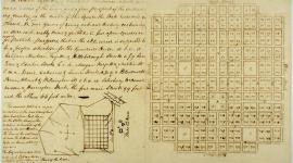
Spanning 117 miles throughout the capital region, this system of greenway trails transforms Raleigh's discrete public parks into a cohesive open space network. More than 30 interconnected, multi-use trails link to the 9,000 acres of public parkland maintained by the Raleigh Parks, Recreation and Cultural Resources Department. Following a trend that had already achieved success in such cities as Chicago, Boston, and Washington, D.C., in the late 1960s Raleigh's rapid growth led its citizens to establish a system that would ensure their continued access to green space. By 1975 several individual trails had been constructed. In 1976 William Flournoy, then a graduate student at North Carolina State University, submitted a Capital City Greenway master plan to the city council, and over the course of the next 30 years, more than 100 miles of greenway were developed based on his recommendations.
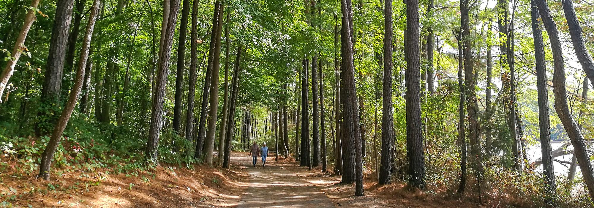
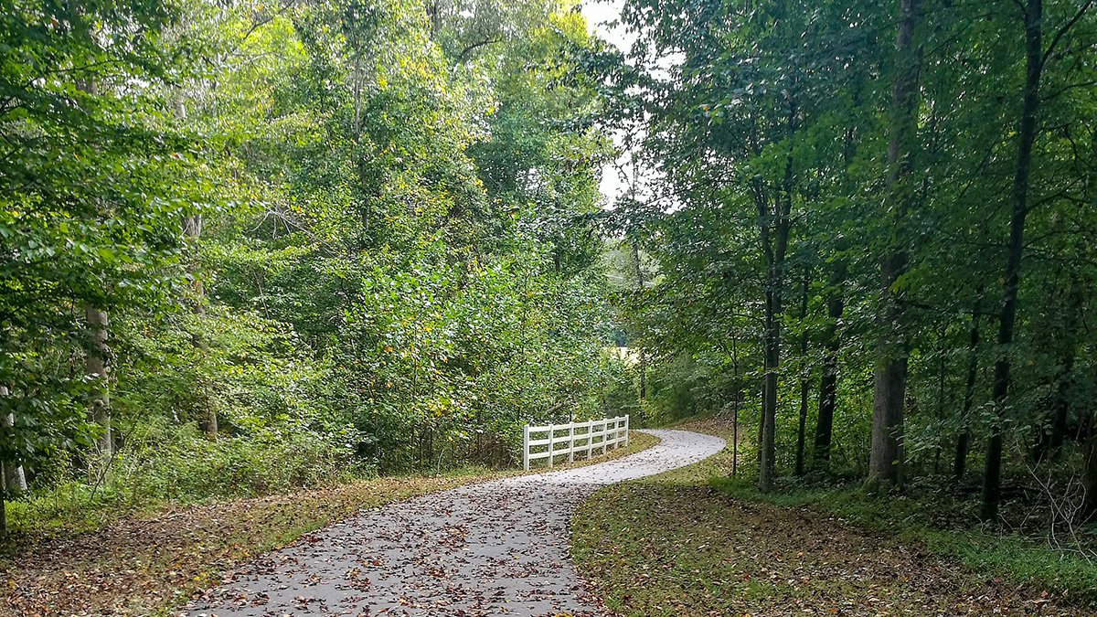
Designed for a variety of recreational activities, including hiking, walking, biking, fishing, and picnicking, the greenway also aids in managing stormwater runoff and flooding, with most sections running along streams and around lakes. Dozens of native and invasive plant species are found throughout the system, with sweetgum, loblolly pine, red maple, Japanese honeysuckle, and yellow poplar among the most prominent. The majority of the greenway's paths are paved with concrete, asphalt, or crushed granite, while select trails retain a natural, unpaved surface. Special features were constructed to contend with variable environments, such as a suspension bridge traversing the Neuse River, and boardwalks over marshy areas. The trails connect to downtown Raleigh and pass directly through major institutions, including the Meredith College and North Carolina State University campuses, and William B. Umstead State Park, west of the city.