Landscape Information
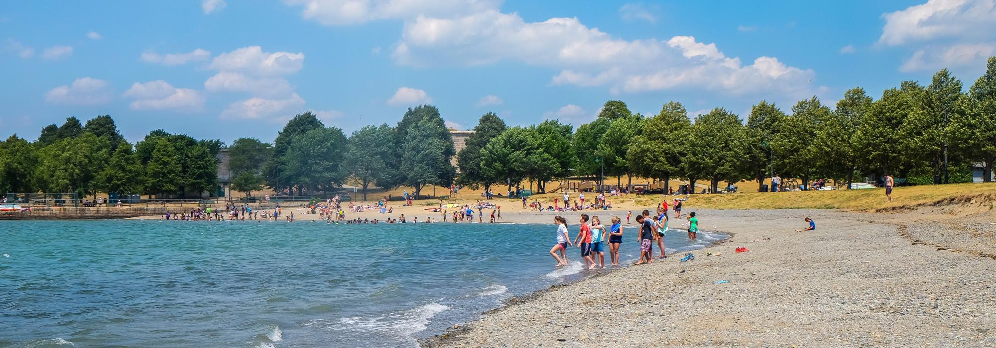
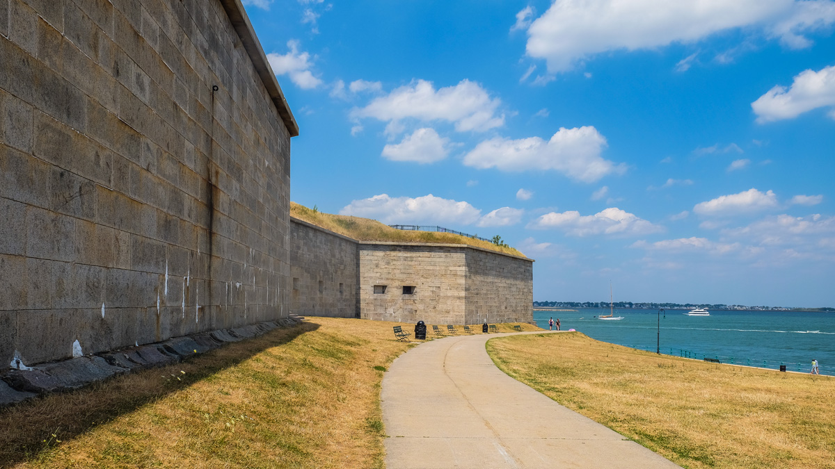
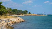
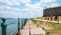
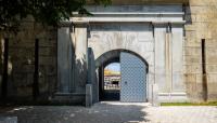
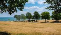
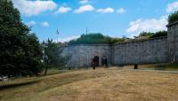
Located in South Boston, the 22-acre former island and military fortification site juts into Boston Harbor. The site has been the location of a fort since the 1600s. During the Revolutionary War, it was occupied by British officials until the Siege of Boston in 1775. The dominating feature of the island is the extant granite fort, which was constructed from 1834 to 1851 and is the eighth iteration of forts on the island. The fort served as an armory during the Civil War, and was also utilized during the Spanish-American War, World War I, and World War II. In 1962 ownership of the fort shifted to the Commonwealth of Massachusetts and it is now operated as a state park by the
Massachusetts Department of Conservation and Recreation.
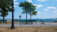
The island became connected to the mainland as a result of land reclamation for port facility expansion. It is now accessible via both pedestrian and vehicular pathways with a pedestrian route encircling the fort and the island. A small marina is located on the western shore of the property. An obelisk dedicated to Donald McKay, the builder of the famous clipper ships Flying Cloud and Sovereign of the Seas, and a fishing pier are located just east of the fort. To the south is a playground area modeled after the fort’s five-point star-shaped plan. The fort was listed in the National Register of Historic Places in 1970.


