Landscape Information
In an 1883 report, H. W. S. Cleveland recognized the potential for a park along the Mississippi River, but the frontage at Saint Anthony Falls was already claimed by industrial development. Industrial use had declined by 1963 when a pair of locks at the falls was completed, opening the river upstream to navigation.
By this time, the movement to repurpose the riverfront as a public park was gaining momentum. City planners, after making progress with urban renewal downtown, turned their attention to the area. In 1977, the Riverfront Development Coordination Board hired Boston-based Sasaki Associates to do a master plan for a park. The firm was already collaborating with the board on plans for Father Hennepin Bluff Park.
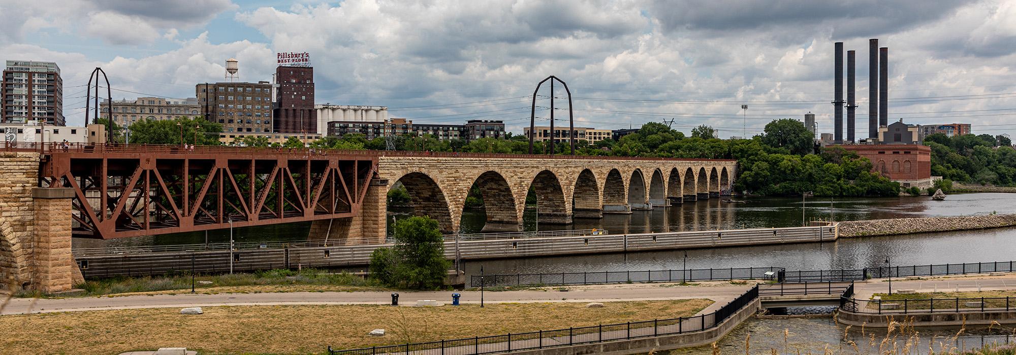
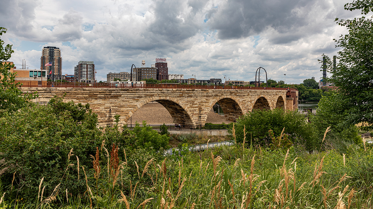
Implementation of the master plan started slowly, but the park board methodically acquired and improved riverfront land. Nicollet Island Park’s first section was dedicated in 1976, and Father Hennepin Bluff Park followed in 1980. The private sector converted underutilized industrial buildings along the periphery into new uses and a parkway was extended along the river’s west bank, bringing people to an area largely abandoned after flour mills were demolished decades earlier. The Stone Arch Bridge, originally built for a railroad, was repurposed for pedestrian and bicycles in 1997, establishing a link between the river’s east and west banks.
The downtown riverfront had been transformed into a popular attraction with millions of visitors, becoming one of the most popular parks in the regional system.