Landscape Information
H. W. S. Cleveland came to Minneapolis in 1872 to deliver the lecture, “The Application of Landscape Architecture to the Wants of the West.” It was so well received that he gave it again the next evening in St. Paul, and the city soon hired him to plan a comprehensive park system. Then the panic of 1873 stopped all progress.
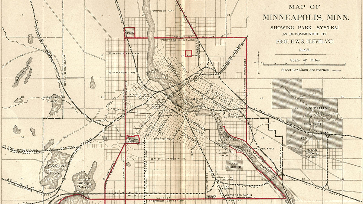
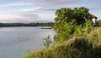
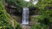
Finally, in 1883 an independent Board of Park Commissioners was established which quickly invited Cleveland to prepare a plan for park improvements. He recommended a series of tree-lined parkways linking parks throughout the city, with some major streets transformed into parkways that connected to St. Paul’s parkway system. He stressed the economic benefits of creating parks near all residential districts. To preserve unique natural features, he proposed parks along the Mississippi River, at Minnehaha Falls, and around lakes. He envisioned a similar park plan in St. Paul, creating an interconnected system for the two cities.
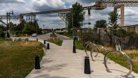
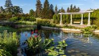
Cleveland served as the Minneapolis board’s landscape architect until 1895, preparing plans for parks throughout the city including Central (now Loring), Logan, Elliot, Third Ward (now Farview), Sixth Ward (now Riverside), and Murphy Square. The proposal for parkways on some streets was dropped, but other parkways were created. The system was extended as Minneapolis’s boundaries expanded and was christened the Grand Rounds in 1891. St. Paul’s system, the Grand Round (no “s”), evolved more slowly.
True to Cleveland’s prediction, the park and parkway system became the framework upon which both cities developed. The Minneapolis Grand Rounds is eligible for listing in the National Register of Historic Places.


