Landscape Information
Located five miles southeast of downtown in the Rainier Valley, this approximately twenty-acre historic district incorporates a former mill town established in the late nineteenth century as the terminus of an electric streetcar line. Extending four blocks along Rainer Avenue between South Alaska and South Hudson Streets, the district features a linear green and a collection of late-nineteenth and early-twentieth century vernacular structures.
In 1890 approximately 40 acres of varied terrain were cleared and in 1891 the community of Columbia was plated on behalf of J.K. Edmiston, a representative of the Washington Co-operative Home Company. Approximately two acres marked by a creek and ravine were set aside for a public park, named for the town, and trapezoidal shaped lots were laid out along the streetcar route (now Rainer Avenue). In 1893 the community was incorporated as Columbia City and in 1907 was annexed by the city of Seattle.
In the early twentieth century Columbia Park’s 40-foot-deep ravine was filled-in, and in 1912 a portion of the park set aside for a public library. Between 1916 and the mid-1920s the stream was buried, and the park was graded.
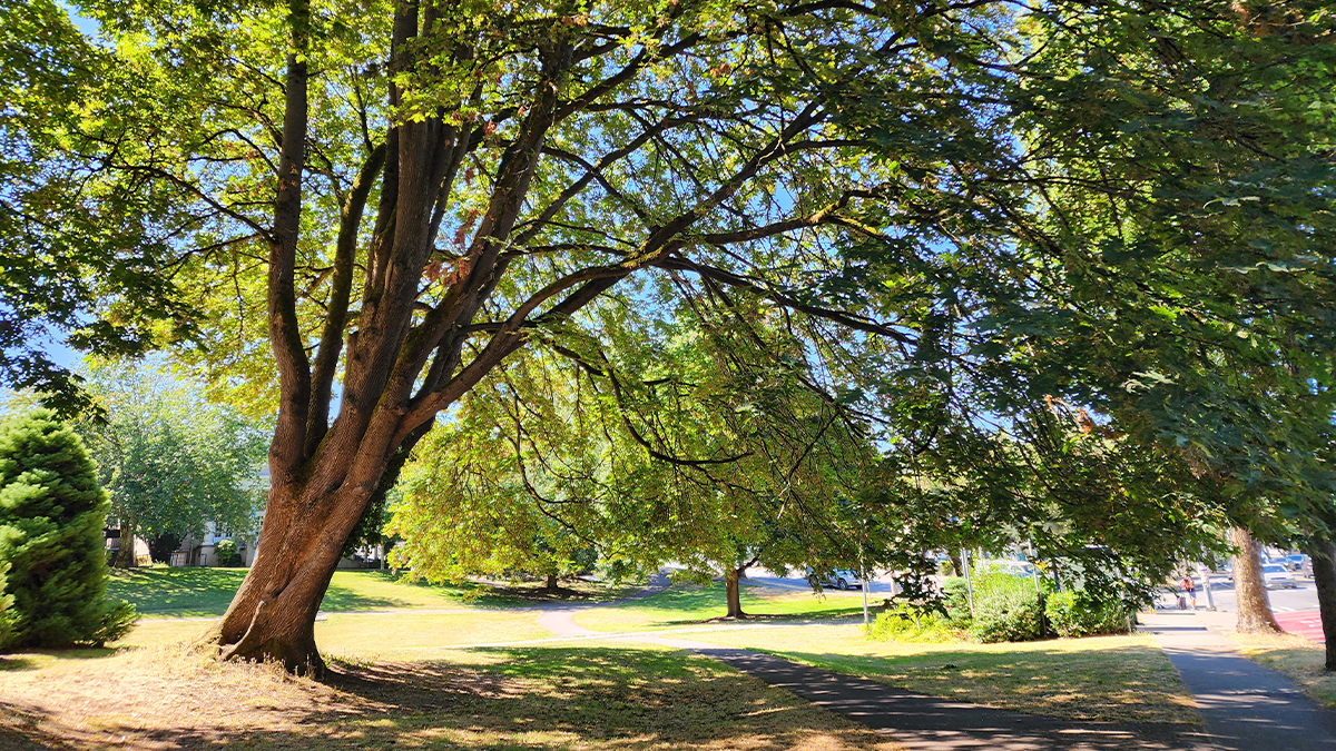
Presently, Columbia Park serves as the community’s village green and is characterized by rolling lawns edged by mature bigleaf maple and flowering cherry trees. The site slopes gradually to the south with a curvilinear path tracing the creek’s historic route.
Rainier Avenue, paved in 1937, serves as the district’s main thoroughfare. Edged by sidewalks planted with maple trees, the diagonally oriented avenue is fronted by one-, two-, and three-story commercial structures characterized by angled facades. Alleys provide access to perpendicular residential blocks.
In 1980 the Columbia City Historic District was listed in the National Register of Historic Places.


