Landscape Information
Situated along the Missouri River at the northern edge of St. Louis, this 305-acre park occupies the former sites of the military encampment Cantonment Belle Fontaine and trading post Fort Belle Fontaine. From 1805, the cantonment consisted of wooden buildings along the low-lying southern bank, until the garrison relocated to higher ground in 1809. Fort Belle Fontaine, eventually composed of 30 buildings and a rectangular palisade, functioned from 1811 to 1828 as an expedition base and site of congregation for Native American, French, Spanish, and American military officers, fur trappers, goods traders, and farmers. Many expeditions departed from the fort for the Louisiana Territory. By 1826 the military abandoned the fort to relocate closer to central St. Louis.
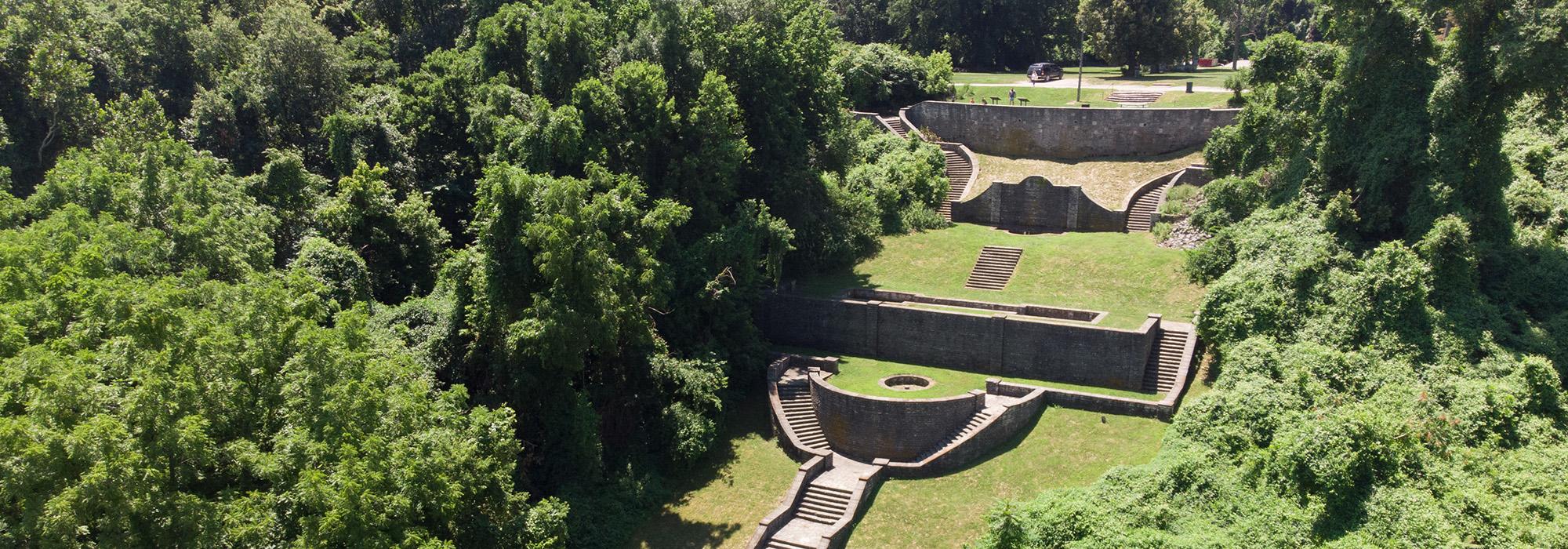
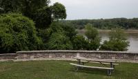
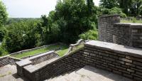
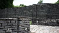
The City of St. Louis acquired the property in 1913 and built a boys home on site. From 1936 to 1940 the Works Progress Administration (WPA) improved the grounds and added visitor amenities, constructing a looping roadway along the edge of the bluff and undulating trails following the park’s topography. The WPA framed river views by alternating mature clusters of basswood, burr oak, and chinquapin oak trees with unobstructed knolls of bluestem grasses. In 1938, masonry structures were built, including the Italianate Grand Staircase cascading down to the riverbank, with integral fountains, reflecting pools, and terraces added. Many of these structures have now fallen into ruin but can be seen from the three-mile-long trail along the Missouri and Coldwater Creeks. St. Louis County acquired the property in 1986 and created a county park, with a small parcel set aside for use by the Missouri Division of Youth Services. Fort Belle Fontaine was listed in the National Register of Historic Places in 2016.


