Landscape Information
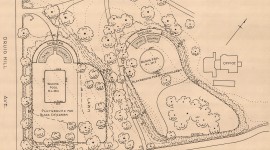
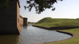
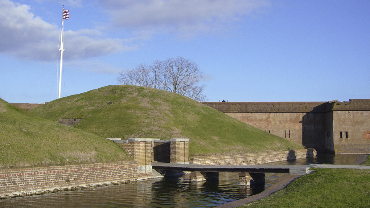
Situated at the mouth of the Savannah River between South Carolina and Georgia, this predominantly level land totals 5,623 acres, including 4,500 acres of the McQueens Island Salt Marsh. It also features a Civil War-era fort (1829-1857) on the approximate site of the British Fort George (1761) and the American Fort Greene (1795-1796). Built by both free and enslaved laborers, this brick, pentagonal fortification comprises two-story walls approximately 350 feet in length, with a triangular ravelin extending eastward. The fort and ravelin are separated by, and enclosed within, a 40-foot-wide moat, whose immediate surroundings are characterized by level lawns and informal plantings of red cedars, palmettos, and junipers. In addition to the fort, the site incorporates several significant resources, including the Cockspur Island Lighthouse (1856) and the fortification’s original dikes and drainage system (1830s-1840s).
During the Civil War (1861-1865), more than 500,000 enslaved people fled to Union-controlled territories, where they were designated “contraband of war” and subsequently freed. The Battle of Fort Pulaski (April 1862) resulted in Union forces’ successful occupation of Cockspur Island, and afterwards they established a contraband camp (known as Workers’ Village, destroyed by a hurricane in 1881) for the enslaved people who had been brought there by the Georgia militia to restore the fort. In 1924 Fort Pulaski was declared a national monument, and in the following decade, New Deal policies helped transform the site into a national park with the installation of electricity, interpretive signage, moveable exhibition cases, and restroom facilities.
Fort Pulaski National Monument was listed in the National Register of Historic Places in 1966, and it was included in the National Underground Railroad Network to Freedom in 2001.