Landscape Information
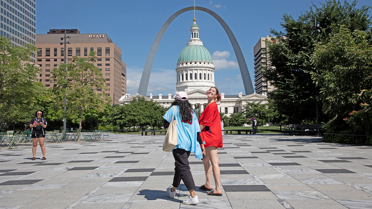
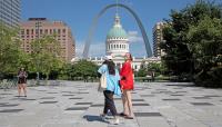
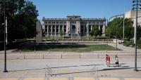
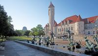
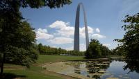
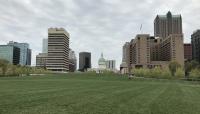
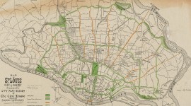
The narrow downtown corridor of parks and plazas extending west from the Gateway Arch to 20th Street evolved incrementally for more than a century, beginning with the landmark 1907 comprehensive plan. Inspired by City Beautiful principles, the plan proposed grouping public buildings around a central park or mall. In 1919 city planner Harland Bartholomew integrated this proposal into a plan for public parks and civic buildings adjacent to City Hall and the Public Library. In the 1920s multiple blocks between Market and Chestnut Streets were cleared and two plazas, Aloe Plaza to the west and Memorial Plaza to the east, were sited on the same axis. By 1962 every block on this axis, between the Civil Courts Building and 20th Street, had been converted into public green space.
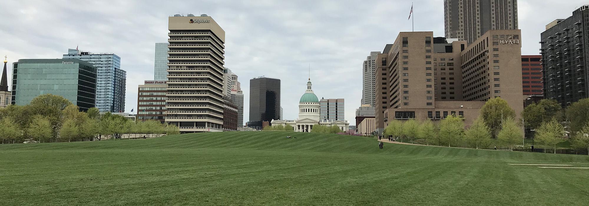
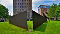
In 1966 the city sponsored a national design competition for the Gateway Mall linking the Old Courthouse, situated directly west of the Gateway Arch, with a proposed roadway near 22nd street. The winning design by Sasaki, Dawson & DeMay replaced buildings east of Eleventh Street with a central lawn flanked by berms. In 1976 a modified version of the design was constructed on a single block, between Tenth and Eleventh Streets, but following negative public response further construction was abandoned. The block was regraded and selected for Richard Serra’s sculpture, Twain.
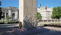
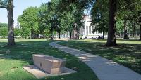
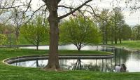
Development continued to the 1990s but lacked a cohesive plan. Kiener Plaza, initially built in 1962, was extended west in 1986. The blocks between Eighth and Tenth Streets were converted to lawns bordered by asymmetrical plantings of trees. A 2009 master plan for the Gateway Mall by Thomas Balsley Associates recommended creating distinct zones along the mall. The city memorialized this concept with the completion of Citygarden, the redesign of Kiener Plaza, and the renovations of both the Soldiers Memorial Military Museum and the Gateway Arch National Park.


