Landscape Information
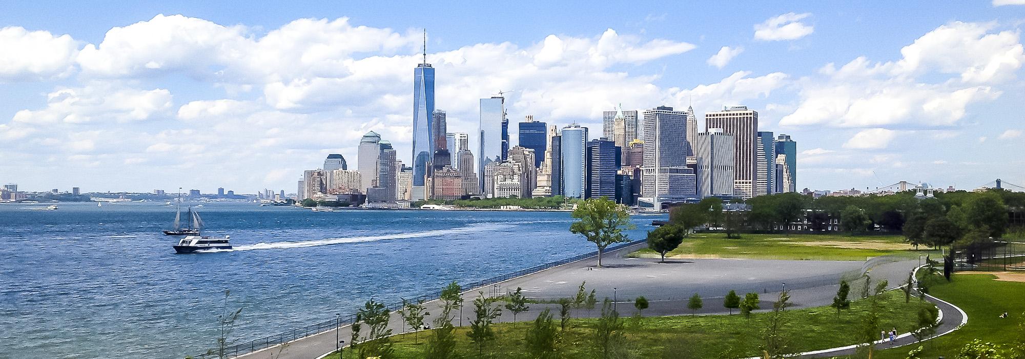
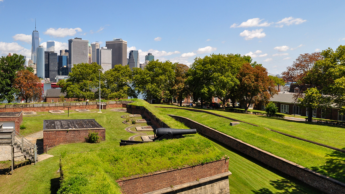
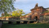
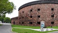
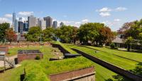
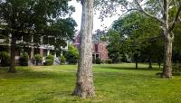
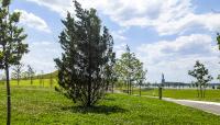
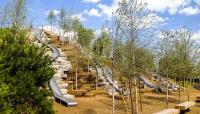
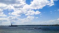
A 172-acre site of military significance situated between the Hudson and East Rivers just south of Manhattan, the island includes two fortifications, Fort Jay and Castle Williams, and 22 acres under the stewardship of the National Park Service, as well as 150 acres of historic buildings, public parks, and recreational facilities administered by The Trust for Governors Island. The island served as an Army outpost and Coast Guard base from the 1790s to 1996. The original island, now a National Historic Landmark District, contains the fortifications and a host of Army administrative and residential structures dating from 1815 to the 1940s. Fort Jay’s classic French-inspired defensive landscape from the 1790s remains largely intact, its preservation due to its use as the post golf course. The southern portion of the island was added in 1909 with landfill from subway construction and harbor dredging. In 2014 The Trust opened 30 acres of new parkland, designed by West 8, to the public, including the six-acre Liggett Terrace, ten-acre Hammock Grove, and fourteen-acre Play Lawn. Two years later, the ten-acre remainder of West 8’s design known as “The Hills,” featuring slides, art, and a sweeping 360-degree view of New York Harbor, Lower Manhattan, and the Statue of Liberty, opened to the public. In 1985, 92 acres of the island were designated a National Historic Landmark District and listed on the National Register of Historic Places. In 2001 President Clinton established the 22-acre Governors Island National Monument.


