Landscape Information
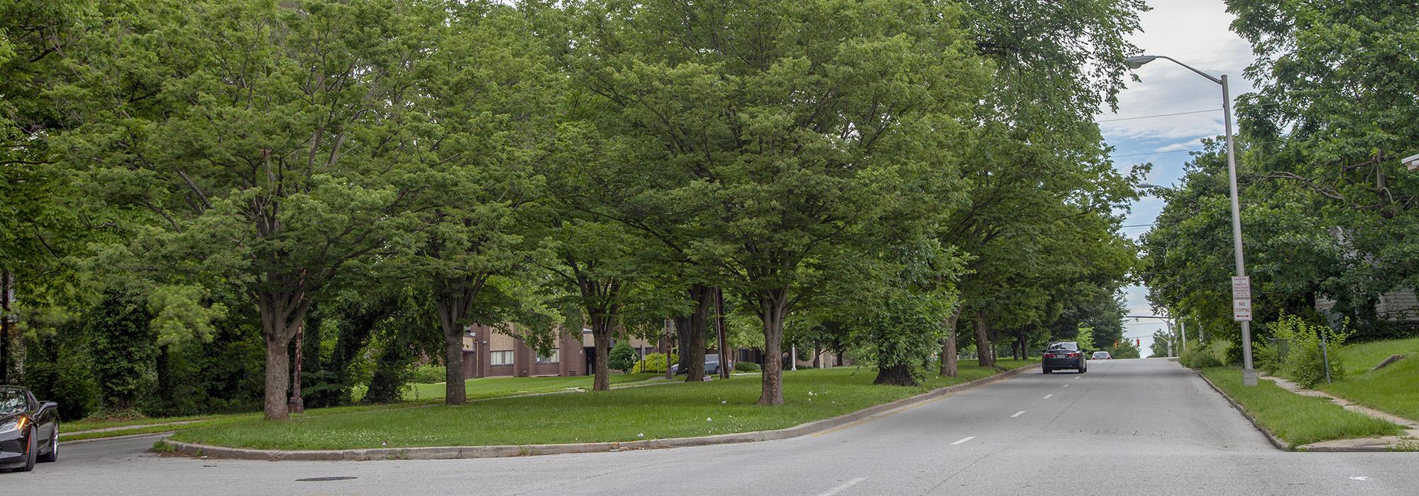
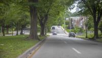
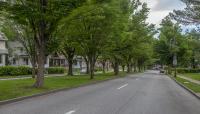
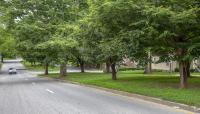
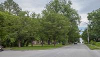
Stretching more than two miles in west Baltimore, this parkway was conceived as a cross-connection in the Olmsted Brothers’ 1904 comprehensive plan for Baltimore, when the proposed route traversed ground just beyond the developed city limits. In its report, Olmsted Brothers lobbied for several parkways to be built as physical extensions of Baltimore’s grand urban parks. The primary device for creating these linear parks involved widening the street to provide adequate space for a strip of informal park-like scenery in its median; recommendations also included setbacks for buildings, minimal commercial traffic, comfortable pavement, and shade during the summer.
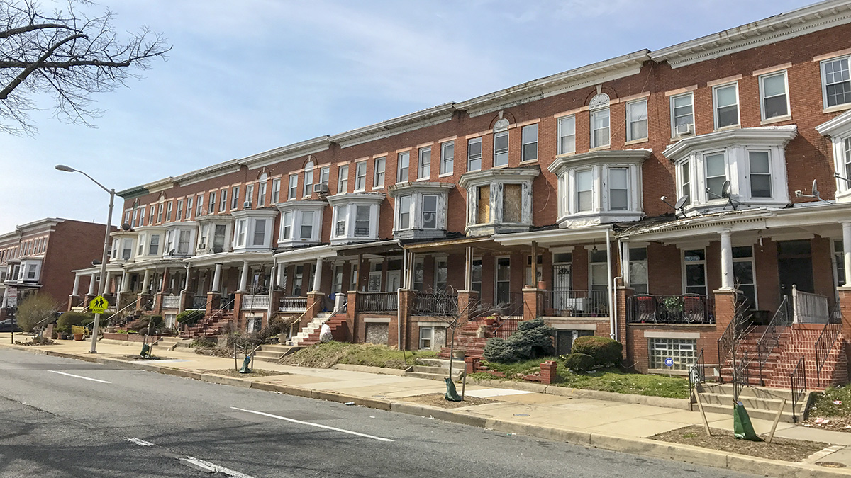
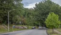
Olmsted Brothers completed plans for the Gwynns Falls Parkway in 1906, and when the city began construction in 1916 (which was completed in 1925), urban growth had already reached the area. The final parkway design therefore reflected the geometric form of the orthogonal, gridded landscape. From its eastern terminus where it forms a gateway to Druid Hill Park, the parkway (the longest in the Olmsted Brothers plan) briefly traces a curvilinear route before returning to the rectilinear grid as it passes west through residential neighborhoods, finally curling southward to a small open space at its western terminus near Gwynns Falls/Leakin Park. The parkway is 120 feet wide, accommodating one-way traffic in separate lanes divided by a wide, central median, with pedestrian traffic confined to sidewalks that skirt the outer roadways. The broad, grass-covered median is planted with a variety of canopy trees, including elms, zelkovas, maples, and lindens.


