Landscape Information
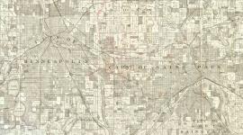
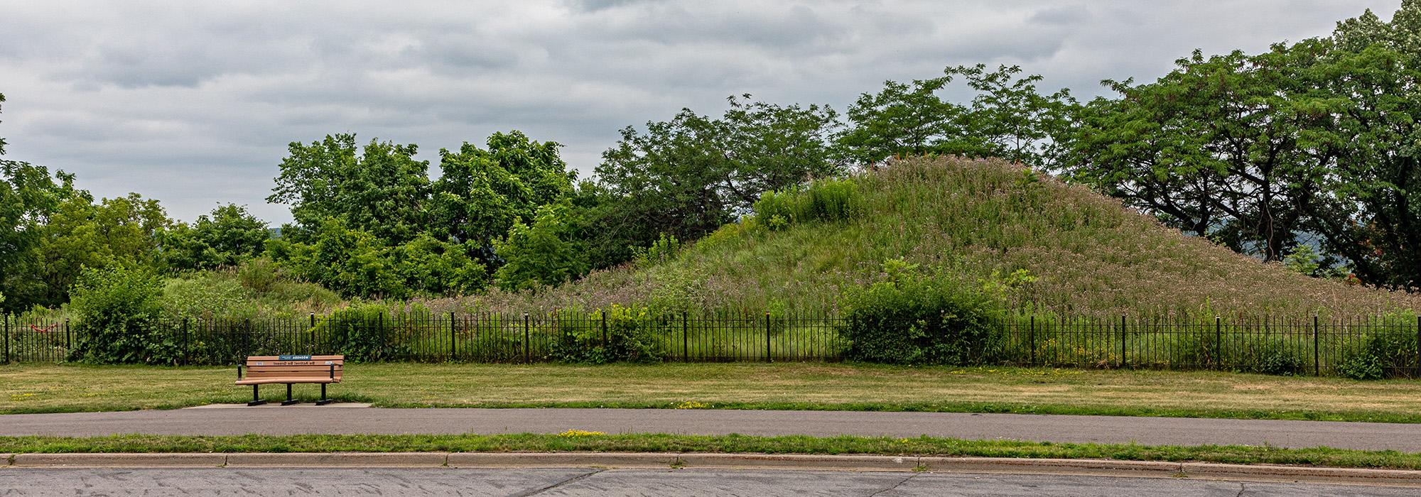
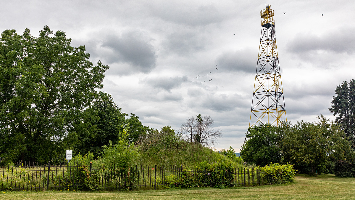
Containing the only known remaining indigenous burial mounds within the Minneapolis-St. Paul urban core, this 111-acre linear landscape is deeply significant to the Upper Sioux, Lower Sioux, Shakopee Mdewakanton Sioux, and Prairie Island Indian Communities, Ho-Chunk Nation of Wisconsin, Iowa Tribe of Kansas and Nebraska, Sisseton-Wahpeton Oyate, and descendants of those who are buried here. The site is perched 200 feet above the Mississippi River bluff (Imnížaska, the “White Cliffs”) downstream from St. Paul, where the river gorge begins to flatten. Affording a dramatic vista of the river, the site is situated above the river floodplain where historically the Dakota gathered and camped. The park provides a visual connection to downtown and the railroad lines and river transportation that followed European settlement.
After the 1837 Land Cession Treaty exiled the Dakota, the land was platted to be developed. First proposed as a park by H.W.S. Cleveland, land around the burial mounds was acquired by St. Paul in 1890. Over time the park expanded through the purchase of nearby properties, and traditional park amenities were added. At least fifty burial mounds were documented in the late 1800s, but nearly all were razed during the park’s construction. Only the largest six mounds, now known as the Eastern Mound Group, were retained and included in the National Register of Historic Places in 2014.
In 2020, St. Paul Parks & Recreation teamed with QuinnEvans Architects, Ten x Ten, and Allies LLC to undertake a Cultural Landscape Study and Messaging Plan compiling the significant story of the land and providing a vision for moving forward with messaging, landscape treatments and maintenance strategies. The park is connected to a larger network of bicycle trails and is part of the Mississippi National River and Recreation Area.