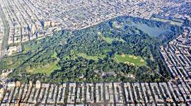
Landscape Information
This 196-acre park situated at the northernmost tip of Manhattan is the site of the last remaining natural forest and salt marsh in the borough. The topography is a result of glacial activity, leaving caves, potholes, striations, valleys, and a central ridge. The site was inhabited by the Lenape tribe through the seventeenth century, farmed by European settlers during the seventeenth and eighteenth centuries, and during the Revolutionary War, Fort Cockhill was built at the northeastern corner of the park. During the nineteenth century, it became the site of many wealthy country homes and philanthropic institutions, some of the foundations of which are still visible today. In 1916 the land was purchased by the city, and buildings on the site were demolished. In the 1930s Works Progress Administration workers built or paved many of the roads, often following earlier circulation patterns. Landscape architect Michael Rapuano worked on the design of the pedestrian circulation network at both Inwood Hill and Isham Parks. In 1954 a boulder and plaque were placed at the southeast corner of the ballfield on the former location of a historic tulip tree under which Peter Minuit reportedly purchased Manhattan from the Lenape. In the 1960s and 1970s the park received two Land and Water Conservation Fund grants that aided in its development. In 1992 the central, natural portion of the park, notable for its tulip trees, was renamed Shorakapok Preserve (“place between the ridges”) in honor of the Lenape. In 1995 an Urban Ecology Center was dedicated and opened to the public.
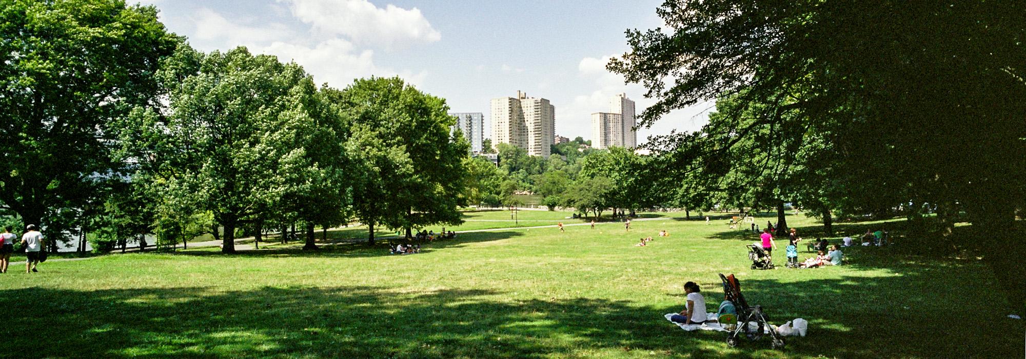
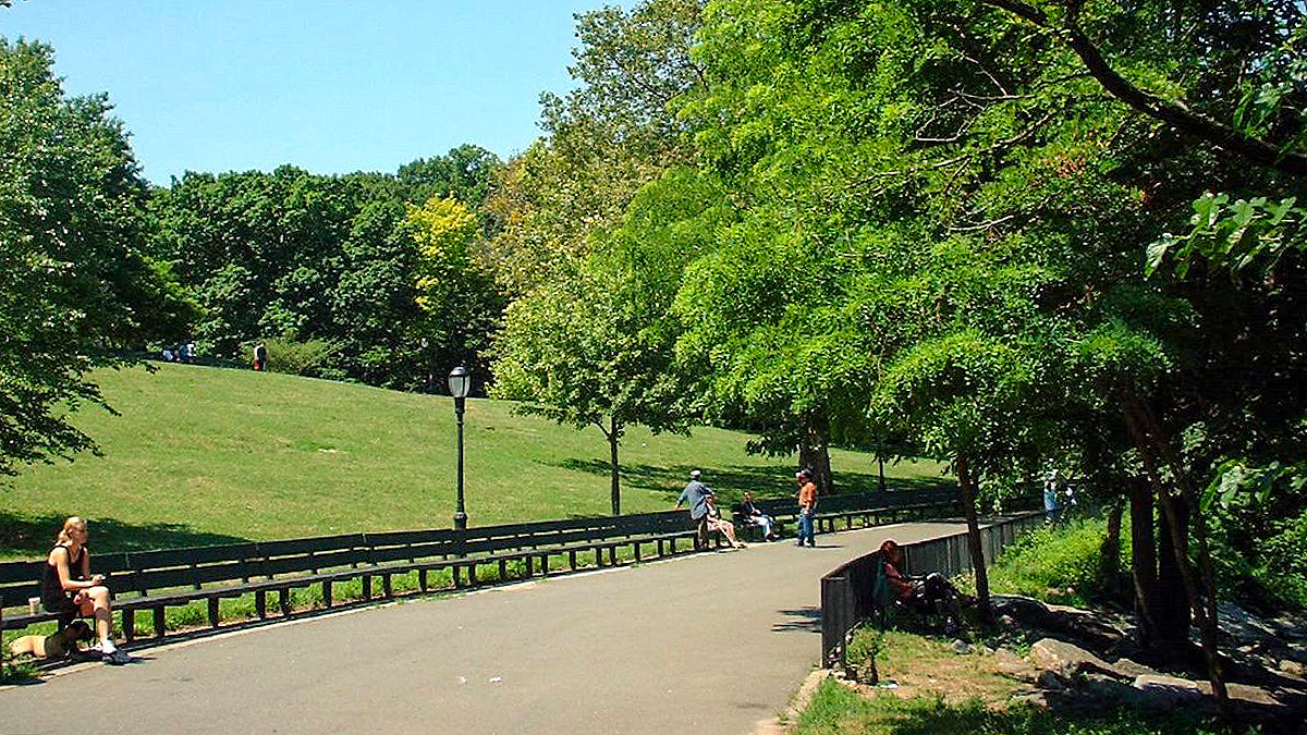
The park features numerous hiking and biking trails, which are concentrated in its northwest section across the Henry Hudson Bridge (1936). The eastern portion includes the majority of the park’s recreational facilities, including baseball fields, a dog run, playgrounds, and a barbeque area.