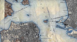
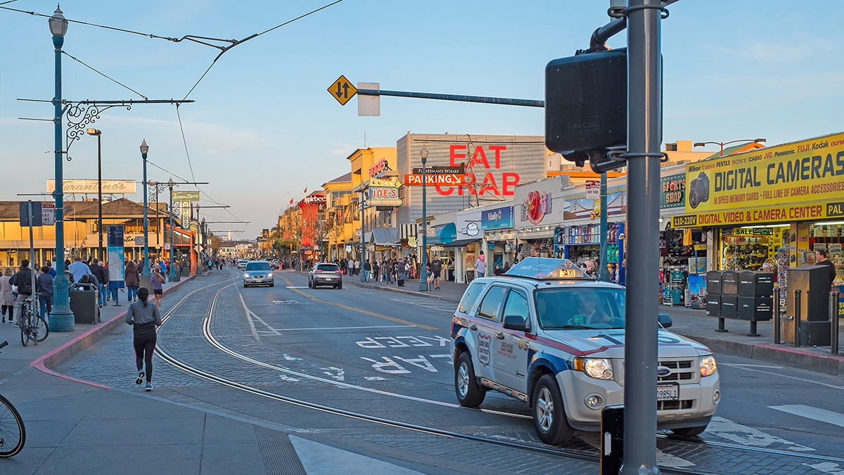
Originally laid out as Bay Street by surveyor William Eddy in 1849, this half-mile-long stretch serves as the main thoroughfare of San Francisco’s historic Fisherman’s Wharf neighborhood. As the population greatly increased in the wake of the California Gold Rush, the street became a marketplace and transport hub for fish products, largely run by Italian immigrants. During the 1970s, as Fisherman’s Wharf became a major tourist destination, the street was increasingly used by pedestrians. Originally a single lane with narrow sidewalks, over time the street evolved into a one-way thoroughfare that was focused on vehicular movement at the expense of pedestrians and bicyclists. In the 2010s, the city, in collaboration with ROMA Design Group, enlarged the sidewalks and improved the public right-of-way to increase room for bicycles.
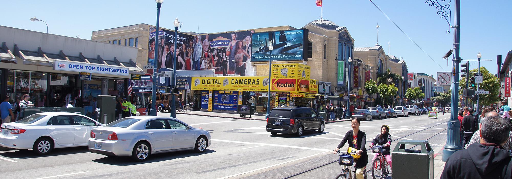
Running from Powell Street to the San Francisco Maritime National Park, Jefferson Street is a two-lane roadway lined by London plane trees, contemporary streetlamps, fifteen-foot-wide sidewalks, and repurposed, turn-of-the-century warehouses and factories, along with tourist attractions. Clear views of the marina and bay can be enjoyed between Taylor Street and Jones Street. As part of the project, sections of the asphalt roadway were replaced by ligth and dark striped pavement designed to slow vehicles. Sharing the roadway from the Embarcadero to Jones Street is the brick-paved F Market Wharves trolley line, opened in 1995. Within the Maritime National Park, the street is framed to the west and south by the park’s waterfront promenade and Victorian Park. The street continues to the west beyond Fort Mason in two short sections before terminating at the Palace of Fine Arts.