Landscape Information
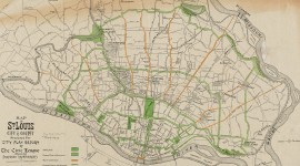
Stretching nearly 240 miles across central Missouri, this state park is the largest unbroken rail-to-trail corridor in the country. Created following the National Trails Systems Act of 1968, the park was formed in 1986 when further flooding and accompanying damage led to the abandonment of the railroad right-of-way. With initial financial support and leadership from Edward Jones, Jr., the first portion of the park was opened in Rocheport in 1990. Developed by the Missouri Department of Natural Resources, the Trail grew the following year when the Union Pacific Railroad donated 33 miles on the western end of the corridor, extending the trail to the town of Clinton. Some twenty years later, the greenway was expanded eastward to incorporate a corridor from St. Charles to Machens, where the Trail ends today, fourteen miles from the Edward and Pat Jones Confluence Point State Park.
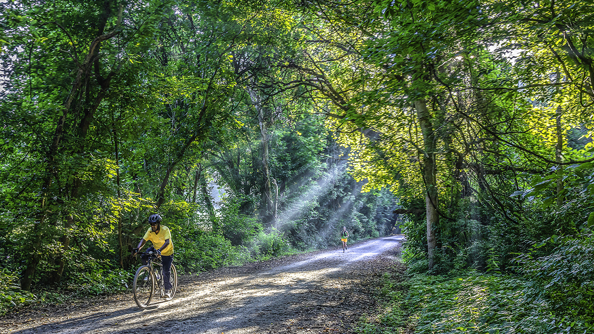
The earthen trail follows the northern banks of the Missouri River through forests, wetlands, and fields of open farmland. The route includes 26 trail heads that connect to small towns whose residents once depended on the railroad. Restored historic depots, a series of truss-and-trestle bridges, abandoned grain elevators and a stone railroad tunnel recall the trail’s past as a vital economic corridor. Running along tall bluffs, the Trail is shaded by flowering deciduous trees, including dogwoods and redbuds, as well as maples, oaks and hickories. Several of the depots along the Trail have been listed in the National Register of Historic Places, including the Katy Depot in Sedalia in 1971, the McKittrick Farmers Mercantile in 2004, and the Glosemeyer General Store in Peers in 2018.