Landscape Information
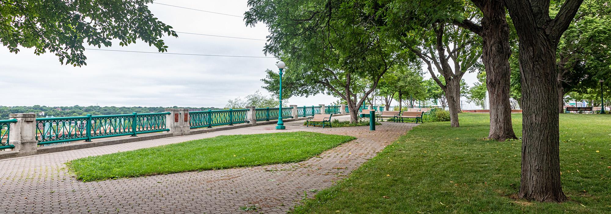
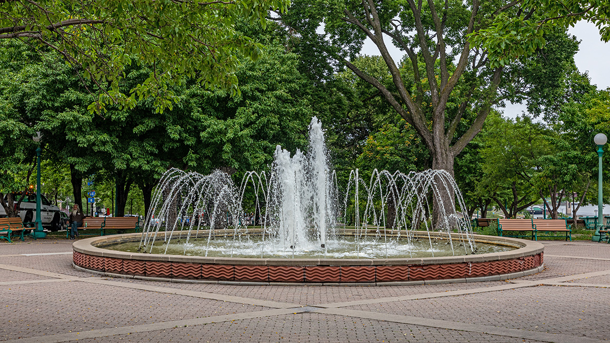
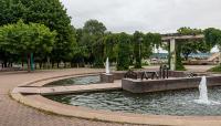
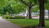
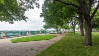
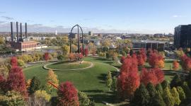
Bordering former Third Street, (now known as Kellogg Boulevard), running along the Mississippi River bluff at the edge of central downtown, the 4.2-acre park was built as a promenade along a four-block stretch of the boulevard, with paved walkways lined with tree allées and decorative railings along the bluff edge. Grassy spaces between two low circular fountains and small tree groupings in the lawn areas provide shade and opportunities for picnicking.
The site was laid out in the planning document, “Plan of St. Paul,” developed by Edward Bennett for the city in 1922. From the earliest years goods and materials were transported by steamboat and rail and brought to the top of the bluff. Buildings lined the street, blocking any views of the river. H.W.S. Cleveland's visits in 1872 included speeches to civic and community organizations in which he discussed the valuable vista from this bluff. It wasn't until the 1920s when a reconstruction of Third Street initiated the demolition of buildings, and the newly named Kellogg Boulevard was then open to the river vista.
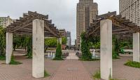
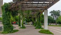
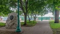
Eventually, the Mall fell into disrepair. In the 1980s Public Art Saint Paul partnered with the city to upgrade the park and install interpretive markers. Artist Cliff Garten designed a new arcing pergola at one of the reconstructed fountains. He also developed sculptures representing industries and people. Terra cotta reliefs of notable historic figures were set into the railing piers, and granite pavers in the walkways were installed to interpret the history of the city.


