Landscape Information
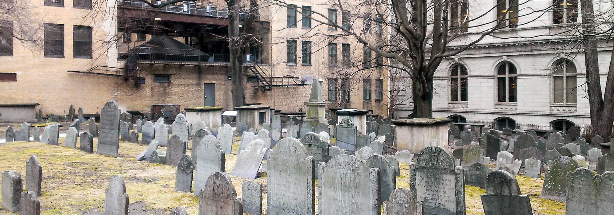
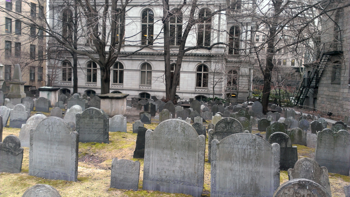
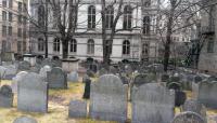
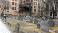
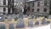
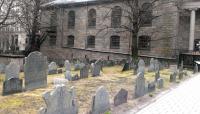
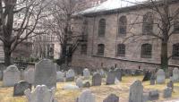
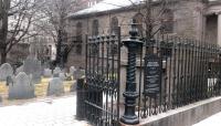
Founded in 1630, Boston’s oldest burying ground is located adjacent to the King’s Chapel (circa 1749) and Old City Hall (1865). Despite its name, the property was never affiliated with a church and has always remained under municipal control. The nearly square burial ground, measuring 0.44 acres, is bounded by adjacent buildings on three sides and enclosed by a low granite wall with ornamental cast-iron fencing along Tremont Street. The grounds contain markers for 615 graves and 29 aboveground tombs. Most of the grave markers are arranged in roughly parallel rows visible from Tremont Street. Originally arranged in random patterns without a formal network of paths, the markers were moved during the early nineteenth century and no longer correspond to the bodies buried underneath. This city-wide beautification effort sought to encourage the use of urban burial grounds as public parks and included the addition of such pedestrian amenities as footpaths, decorative fences, and ornamental plantings.
The grounds are accessed directly from the sidewalk via a double-leaf wrought iron gate that connects to a loop path of stone pavers. Grassy slopes fall gently away from Tremont Street to the east, forming a small parklike space within the densely urban setting. Planting along the grounds’ perimeter is a combination of smaller ornamentals and larger deciduous trees which screen adjacent buildings when they are in leaf. King’s Chapel Burying Ground is included on the Freedom Trail and was listed in National Register of Historic Places in 1974.


