Landscape Information
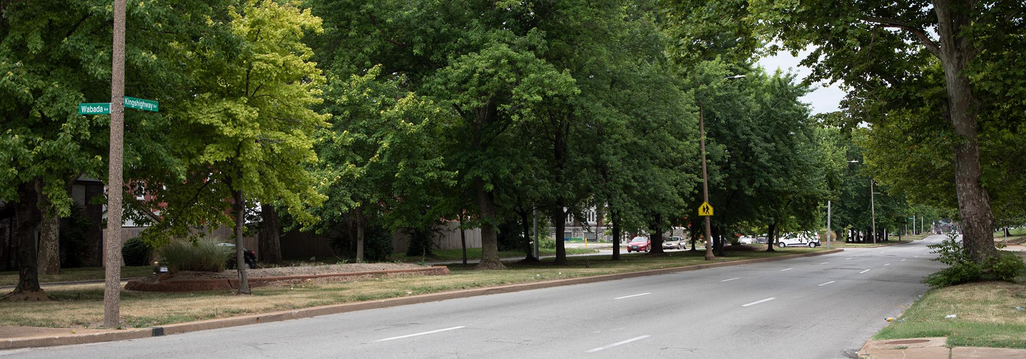
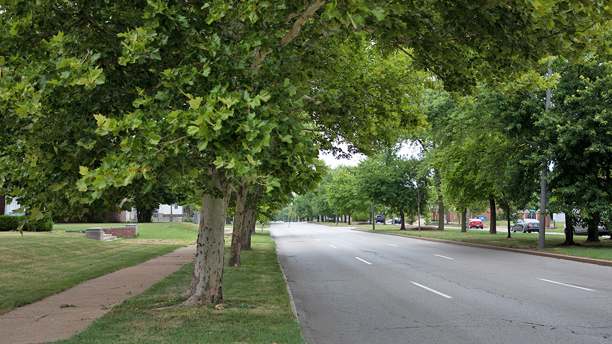
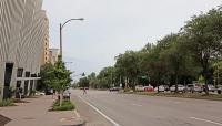
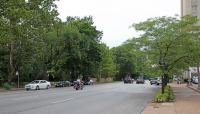
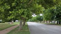
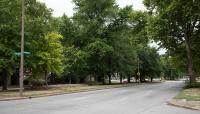
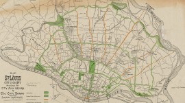
This nine-mile-long boulevard crosses St. Louis from north to south, originates at Florissant Avenue by Bellefontaine Cemetery and terminates at Gravois Avenue as it becomes State Route 30. Originally a Native American trail leading to the Missouri River, the origins of the boulevard’s name are disputed, but likely evolved from royal land grant titles. St. Louis historically featured two arteries colloquially known as Kingshighway, until the second was renamed Union Boulevard after the Civil War. Kingshighway was included within the city limits of St. Louis after the border redistricting of 1876, but it was not until the 1904 World’s Fair planning that it saw major development and investment. The Kingshighway Boulevard Commission of 1902 proposed essential regrading and repaving, as well as the adoption of City Beautiful era landscape principles including a formal landscape treatment and decorative lampposts . The Commission also proposed an ambitious 18-mile extension from Chain of Rocks Bridge to Carondelet Park, linking all major parks and cemeteries along a singular artery, and hired George Kessler to oversee the project. Kessler, along with other members of the Civic League of St. Louis, worked from 1902-1909 to unify this formerly disconnected roadway, but due to a series of financial, political, and logistical obstacles, many of his suggestions were not implemented, including the extension. The essence of Kessler’s vision was implemented, including allées of American white elms and sugar maples along most of the route and flexibility for parcels along the boulevard to develop into community parks. Kingshighway today connects O’Fallon Park and Forest Park in the north with Tower Grove Park and Carondelet Park in the south over the course of nine miles, additionally touching nine National Register-listed sites and districts and dozens of local landmarks.


