Landscape Information
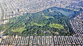
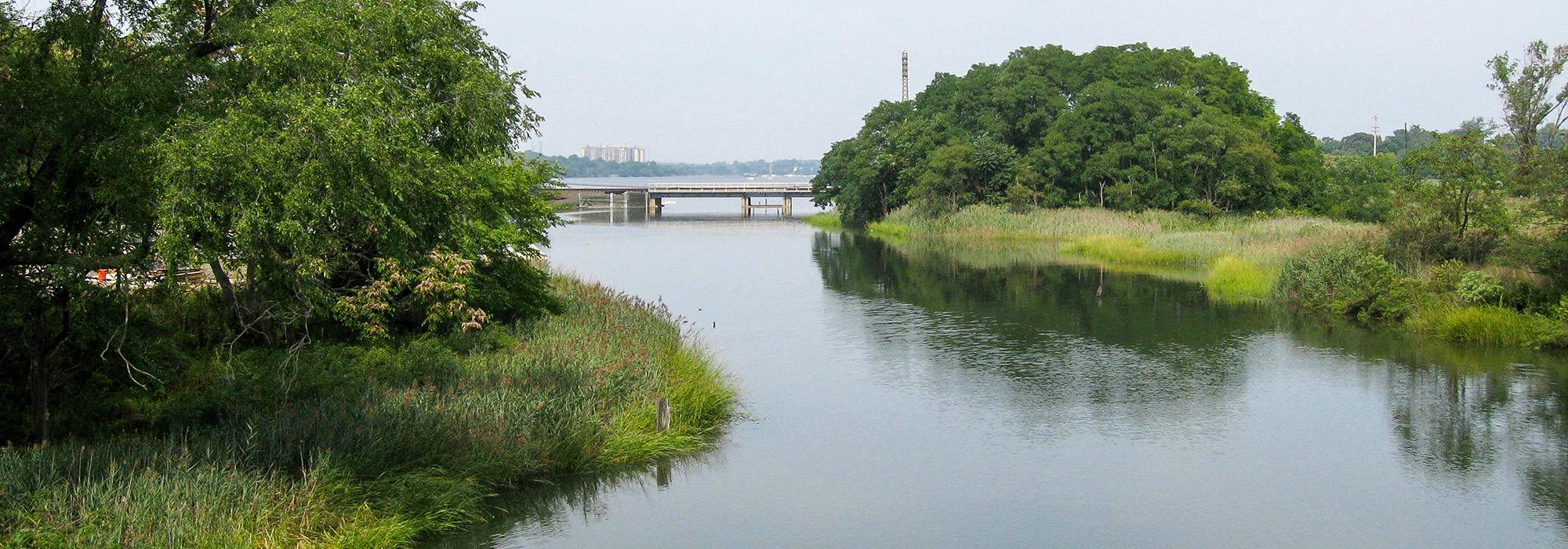
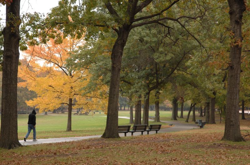
Situated between the neighborhoods of Bayside and Douglaston, this park is the second largest in Queens, encompassing over 655 acres. The park's glacier-formed, hilly terrain consists of sandy ridges, kettle ponds, wildflower meadows, and exposed boulders within oak, beech, and tulip poplar woodlands. It encompasses tidal flats as well as freshwater and saltwater wetlands, and is edged by Little Neck Bay to the north.
The park was named for a natural valley called the "alley,” which was a route to Brooklyn and Manhattan in the 18th and 19th centuries. Responding to the recreation needs of Queens' expanding population, the City purchased 330 acres surrounding the alley for a park (with an option for 500 more) and hired landscape architect Charles Downing Lay to design it in 1929. The park opened in 1935 and offered bridle paths, tennis courts, a nature trail, a bird sanctuary, and 26 acres of sports fields in the park's southern quarter. In 1937 the City acquired rights to the portion of the William Vanderbilt's Long Island Motor Parkway that transected the park and converted the 2.5-mile link into a bicycle path.
In 1974 work began to restore natural wetlands that were filled in during the 1930s for the construction of the Cross Island Parkway and the Long Island Expressway; the Alley Pond Environmental Center opened two years later. The City continued to expand the park, acquiring new land into the late 1990s, and has restored some of the park's earlier stone buildings and picnic areas.