

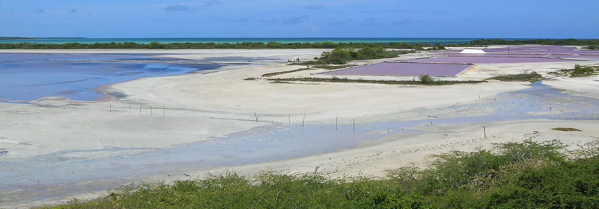
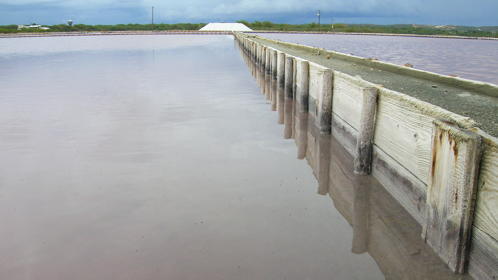
This National Wildlife Refuge, established in 1974, comprises 1,856 acres of lagoons, salt marshes, seagrass beds, mangrove forest, xeric forest, coral reefs and uplands. The name Cabo Rojo, or red cape, is derived from the rust-red limestone cliffs that overlook the white beaches and clear, calm waters of Bahia Sucia (Dirty Bay). Located in the southwest corner of Puerto Rico, these coastal ecosystems provide important habitat for native shorebirds and for migratory birds traveling along the Atlantic flyway.
The aboriginal Araucos people began extracting salts from the salt flats in AD 700. Upon their arrival to Puerto Rico in the 16th century, the Spanish took over salt extraction using the local Tainos people for slave labor. Today, the landscape is still used for commercial salt extraction by a private operator, though the property is owned and operated by the U.S. Fish and Wildlife Service. Both a wildlife refuge and a public park, the site includes a visitor center with interpretive displays and a small network of hiking and mountain-biking trails that lead to expanses of wide open beaches that alternate with patches of mangrove forest. A three-story wooden lookout tower provides a birds-eye perspective over the area.


