Landscape Information
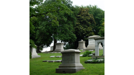
Chartered in 1848 by the General Assembly of Kentucky, the 296-acre cemetery is located on a former farm and quarry site selected for its undulating topography. The cemetery’s name, and that of the farm before it, is derived from the large limestone cave that runs 75 feet into the hillside.
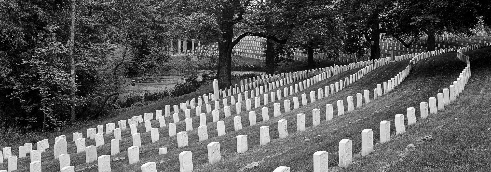
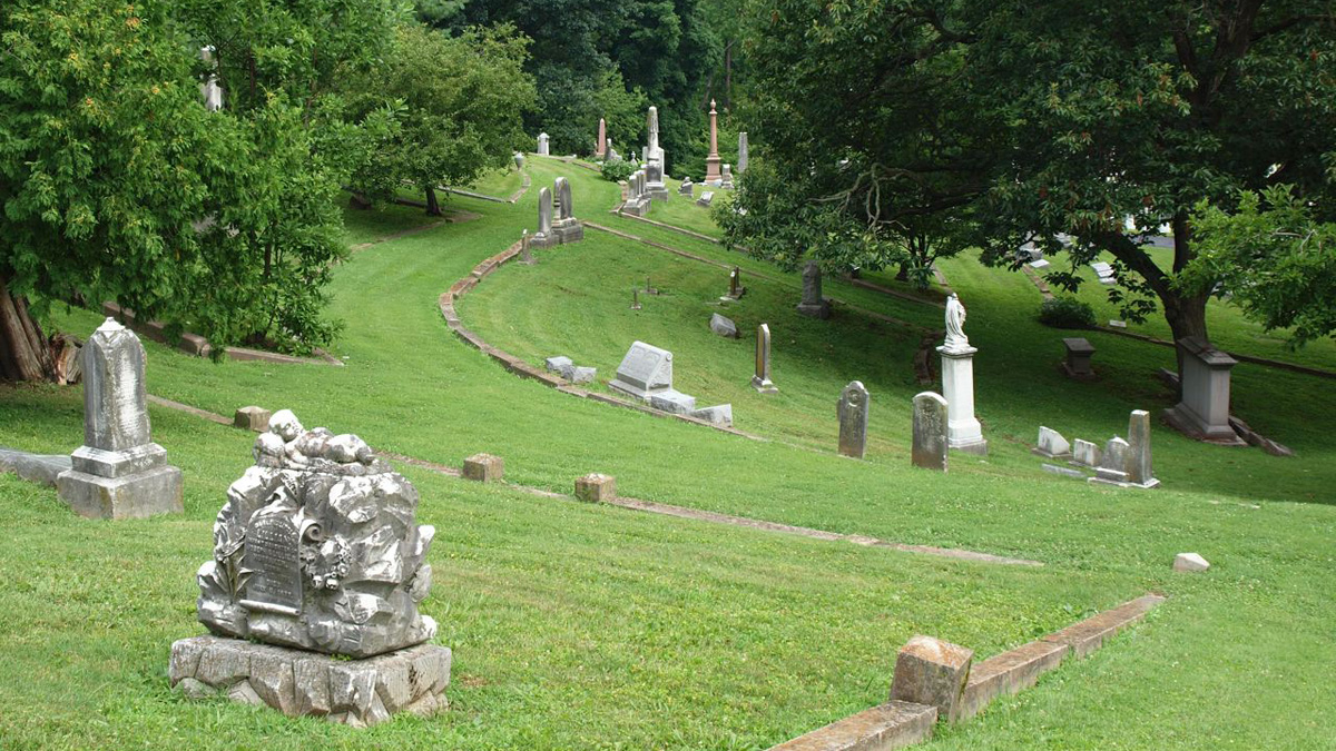
The site’s natural conditions defined how the cemetery was laid out. The ravine that divides the site into eastern and western halves was created by numerous small springs that fed into Beargrass Creek. Chief engineer Edmund Francis Lee developed the western half first, with roads that followed the curving topography and burial plots situated in circular patterns on the flatter promontories. The eastern half of the cemetery was farmed and quarried until 1890, when the quarry was filled with water and enlarged to create a more dramatic focal point. Four additional ponds and lakes were subsequently built, including a lily pond and a lotus pond. Between 1905 and 1951, the Olmsted Brothers firm was consulted on four occasions about the cemetery entrance, the chapel site, and layouts for new grave space. There are over 500 varieties of trees and shrubs on the site, including numerous state champion trees. Cave Hill Cemetery was listed on the National Register of Historic Places in 1979.