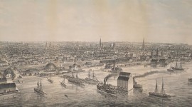
Landscape Information
Accessible only by boat and prohibiting motorized vehicles, this crescent-shaped island is the southernmost of fifteen landforms in the Toronto Islands archipelago that rises from Lake Ontario some 1.5 kilometers south of downtown. Already a recreational destination in the 1800s, the landmass formed a peninsula until 1858, when a storm severed the isthmus connecting it to the mainland. Acquired by the City of Toronto in 1867, a period of intense residential development ensued. In 1956 the multidisciplinary design firm Project Planning Associates, Ltd. initiated a master plan for Centre Island Park, which, calling for the removal of all residential structures, was only partially realized.
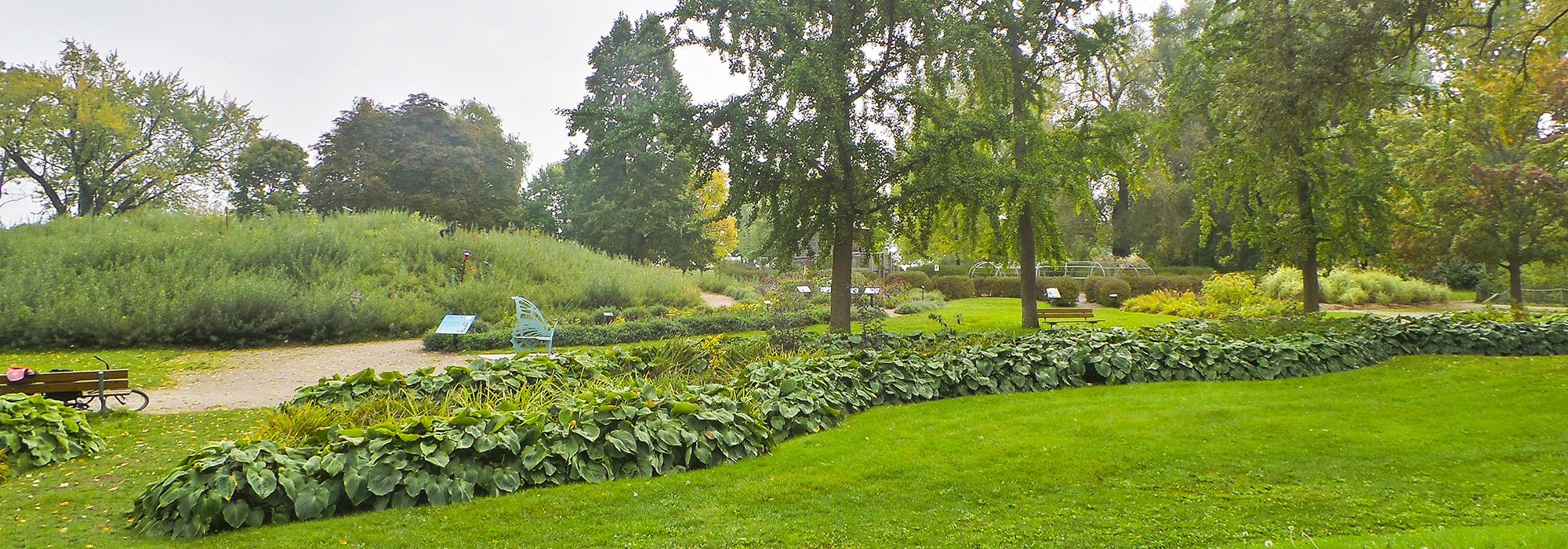
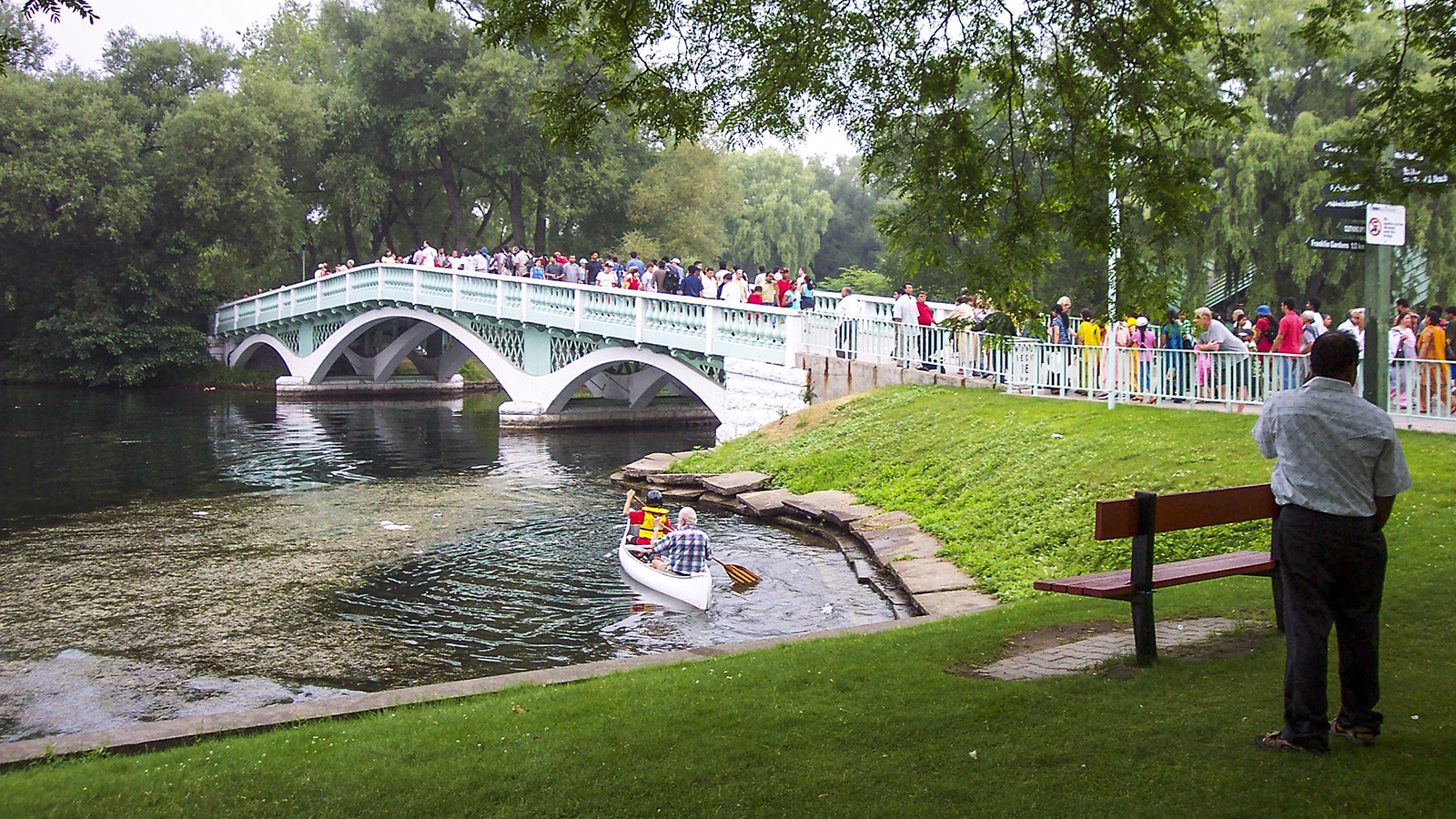
Proceeding southward from the Centre Island ferry dock (located on Middle Island), the Avenue of the Islands meanders through park-like expanses dotted with trees, passes Centreville Amusement Park, crosses Long Pond via Manitou Bridge, and terminates at Centre Island proper. There an octagonal fountain occupies a rectangular plaza at the head of a Modernist pedestrian mall bordered by mature canopy trees. The wide walkway, flanked by rectilinear beds and manicured lawns and hedges, passes between four pools set on a cross axis, before reaching Lakeshore Avenue, the original carriage route from the mainland, which runs parallel to Manitou Beach. To the west, Lakeshore Avenue passes the historic Gibraltar Point Lighthouse before reaching the Billy Bishop Toronto City Airport built in the 1930s at the western end of the island. Also located on Centre Island are the William Meany Maze, originally constructed in 1967 and rebuilt in 2014, and the Franklin Children’s Garden, which contains child-accessible sculptures.