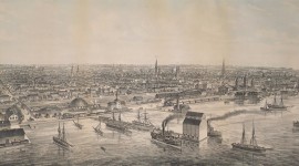
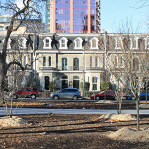
Once part of the military reserve lands west of the nascent Town of York, this public square was conceived in 1837 as part of a compact neighborhood that included a church, a market, and house lots for the elite. Inspired by John Nash’s innovative Regent Street in London completed a decade earlier, Clarence Square served as the eastern terminus of Wellington Place, a wide, tree-lined boulevard that connected to Victoria Memorial Square several blocks to the west. Named for the Duke of Clarence, King William IV, by 1859 trees and grass had been planted, paths laid out, and a fence erected around its perimeter. The land passed to the City of Toronto one year later, and within twenty years, row houses were built on subdivided plots to its north and south. A rendering of the square in 1876 shows paths entering from each of the four corners, passing among trees to converge on a central walkway encircling a fountain. By the early 1920s the fountain was removed, while industry and rail lines flanked the park, whose converging paths were replaced by three linear arteries that crossed from Spadina Avenue on the west, and exited together near Wellington Street.
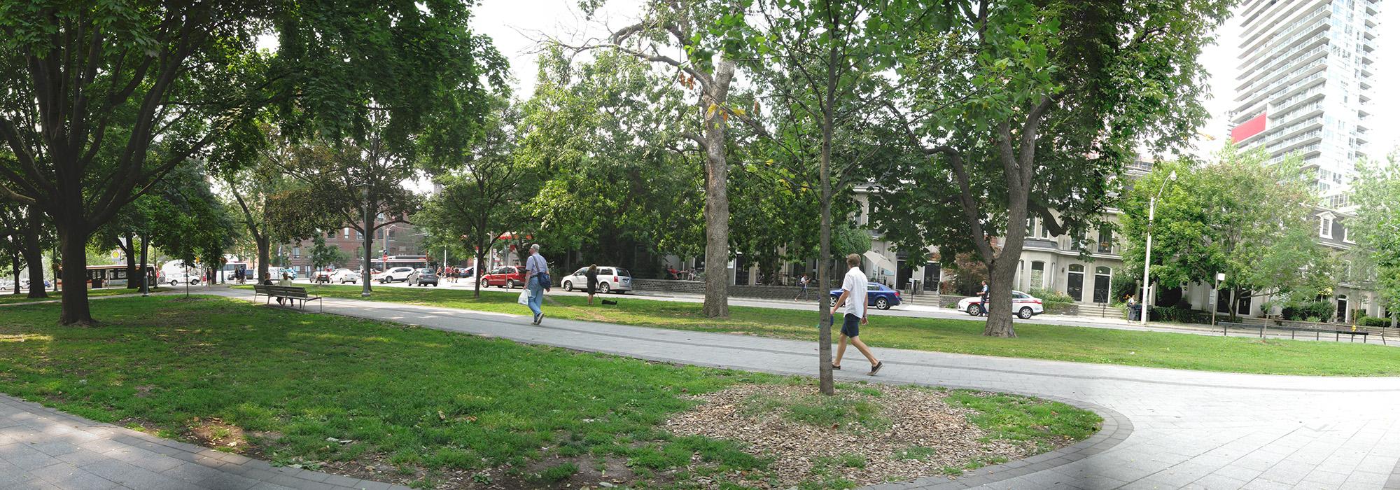
The park underwent significant alterations in 2012, designed by The Planning Partnership, with ERA Architects. A large, fenced dog-run was installed on the south, and a wide bike lane traverses along the north. Paved walkways lined with benches were added to the flat, grassy parcel, meeting at a wide apron where the fountain once stood.