Landscape Information
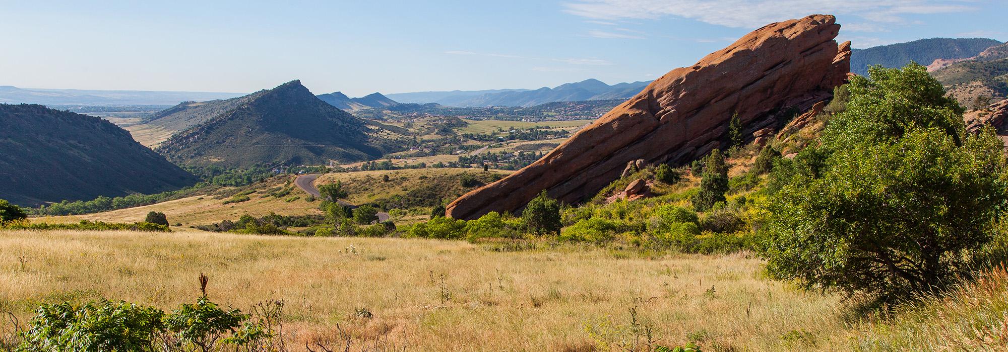
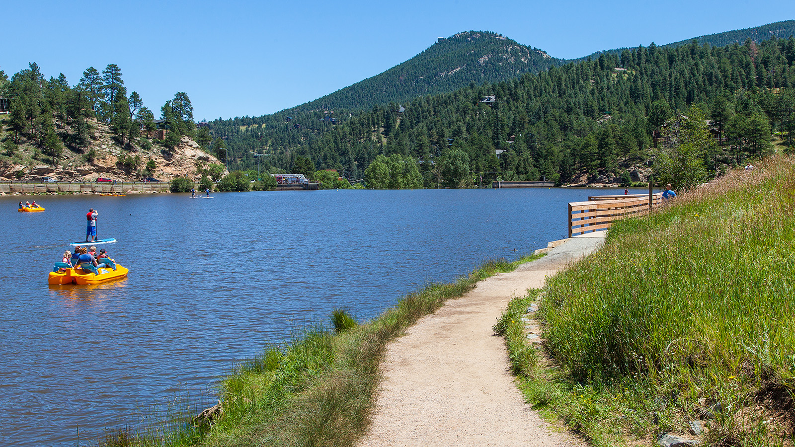
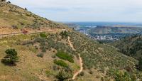
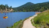
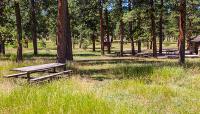
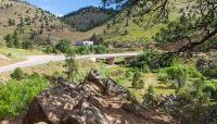
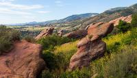
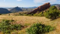
Located across four counties on 14,000 acres, this system of parks and scenic drives within 62 miles of Denver comprises all of Colorado’s ecological zones. Between 1901 and 1912 the Board of Park Commissioners developed a plan to extend the City Beautiful Park and Parkway System into the surrounding mountains and passed a levy for the acquisition of land. In 1912 Frederick Law Olmsted, Jr. provided recommendations that included the procurement of large parcels of land to protect scenery, the construction of an interconnecting system of roadways, and the development of facilities for active and passive uses. Two years later Olmsted provided a second report that detailed the acquisition of parcels ranging from a half-acre to several thousand, totaling 41,310 acres of rugged, forested land.
The first and largest parcel, Genesee Park, was acquired in 1912 and a year later Lariat Trail, the inaugural scenic drive, was completed. By 1918 the system consisted of ten distinct parcels comprising five square miles and included shelters, picnic areas, and pump houses. Ten years later the system had expanded to more remote locations and included golf courses, comfort stations, and the purchase of Red Rocks Park. Critical to its success was the implementation of design requirements for the construction of wide scenic roads. These were built with gentle grades that accommodated automobiles allowing them to reach newly opened parks. Between 1936 and 1941 the Civilian Conservation Corps constructed roads, trails, structures, and Red Rocks Amphitheater. The final acquisition was made in 1939, while the enabling tax levy expired in 1956. The Denver Mountain Parks System was listed on the National Register of Historic Places in 1990.


