Landscape Information
Amid a post-World War II housing shortage, businessman Edward Plunkett Taylor purchased over 800 hectares of land twelve kilometers north of downtown Toronto. What had been a rural farming community with a gristmill, woolen mills, and sawmills was, between 1953 and 1965, transformed into one of Canada’s most noteworthy suburban developments. Taylor hired landscape architect and planner Macklin Hancock to design the master plan for the self-contained community, based upon Garden City principles.
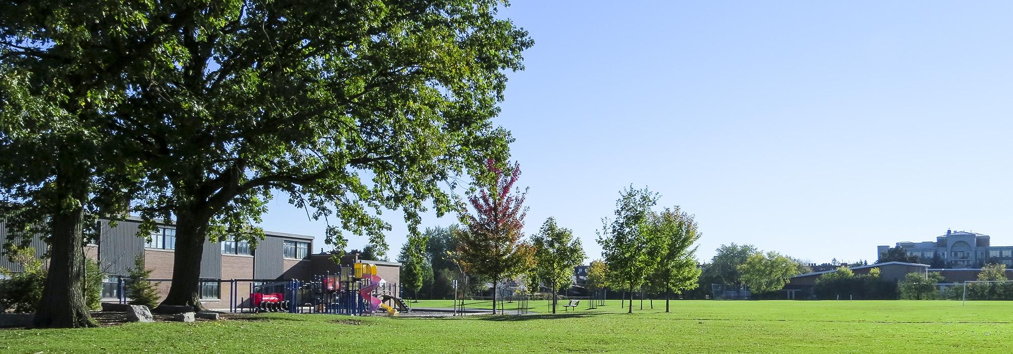
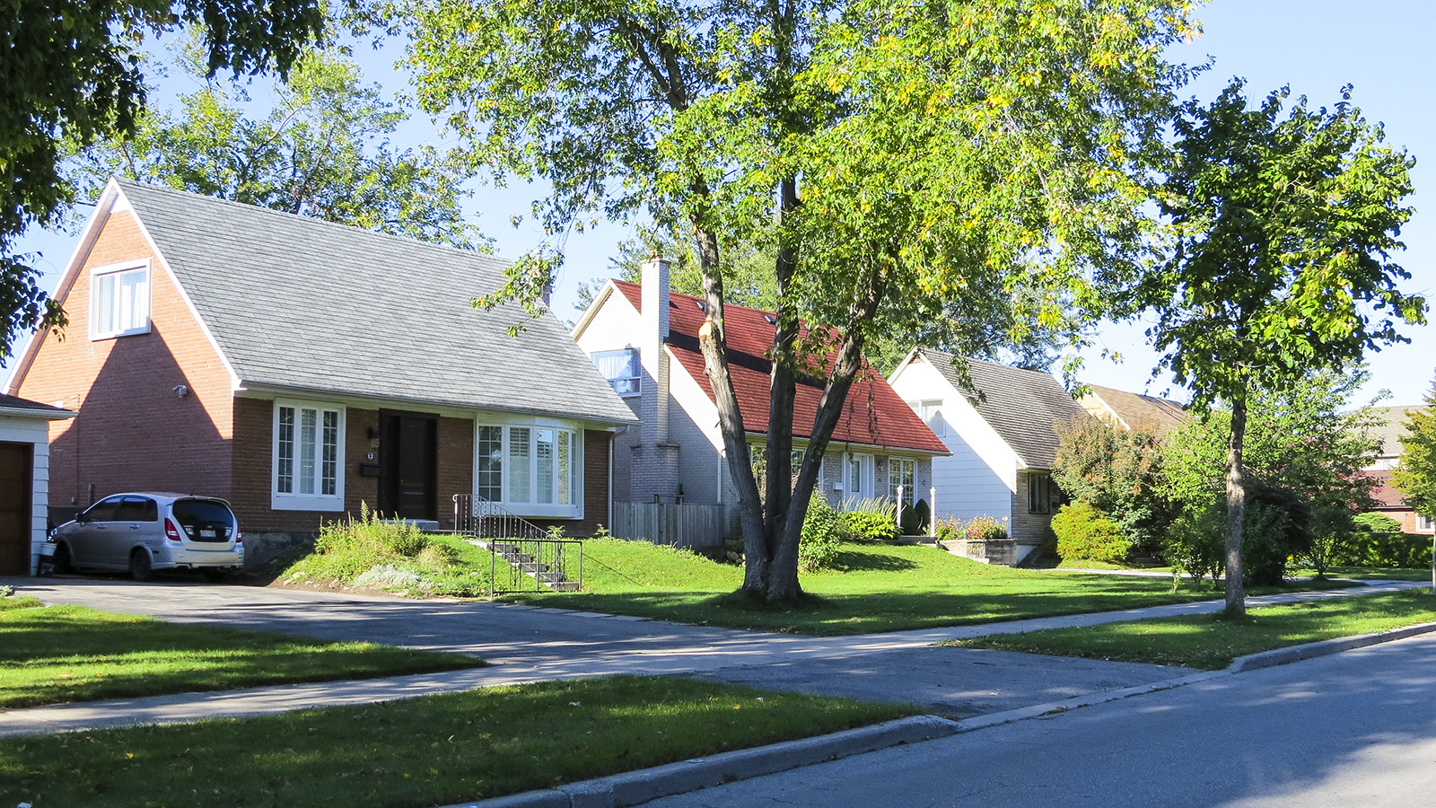
The land was divided into four quadrants, each containing a school, a church, and a park, as well as a range of housing types—all conforming to strictly enforced Modernist tenets of style and design. At the center of the quadrants was a regional shopping center, the Don Mills Centre, separated from the residential neighborhoods by a ring road—the ‘Donway.’ Parks and schools were linked by a system of walkways, which also connected them to the central commercial district, and to an outer greenbelt that included land on the banks of the Don River. To mediate traffic, roads in the residential quadrants were graciously curvilinear and often terminated in cul-de-sacs. In the mid-2000s the Don Mills Centre was demolished and replaced by the Shops at Don Mills, a retail and business plaza that includes the open-air Town Centre, designed by Quinn Design Associates. A model for subsequent suburban communities throughout Canada, Don Mills is among the first planned communities funded entirely by the private sector, and in 1997 it was designated a heritage site by the Ontario Heritage Foundation.