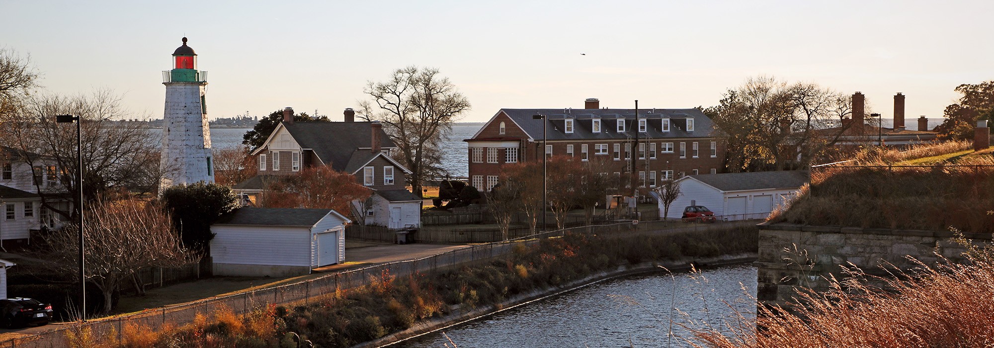

Landscape Information
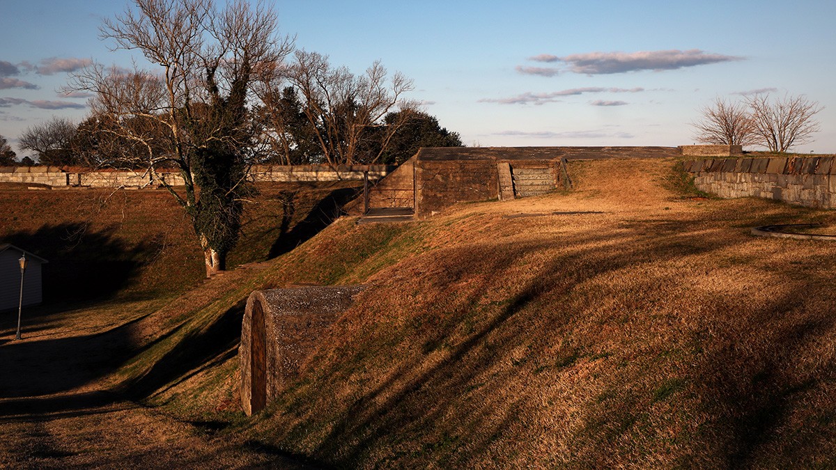
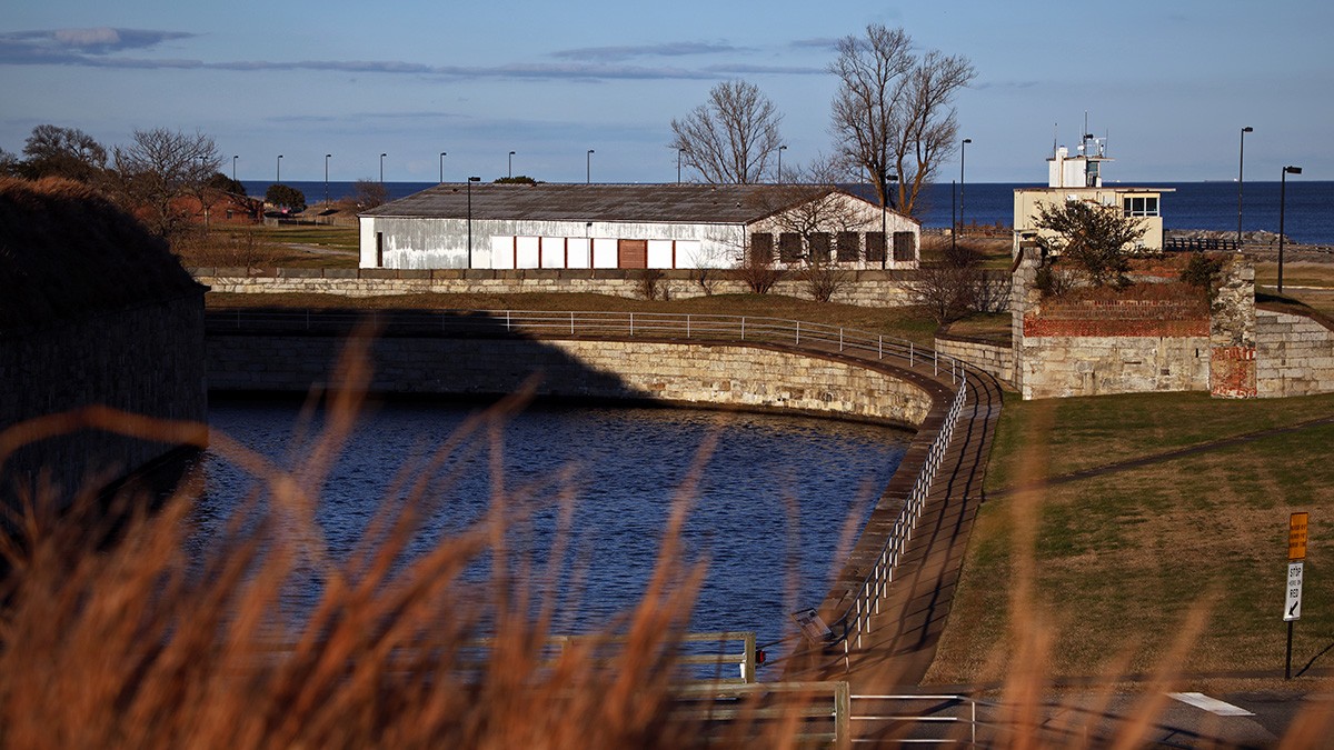
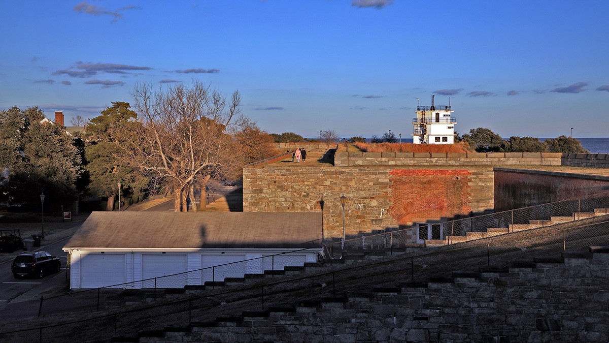
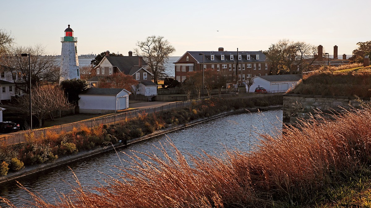
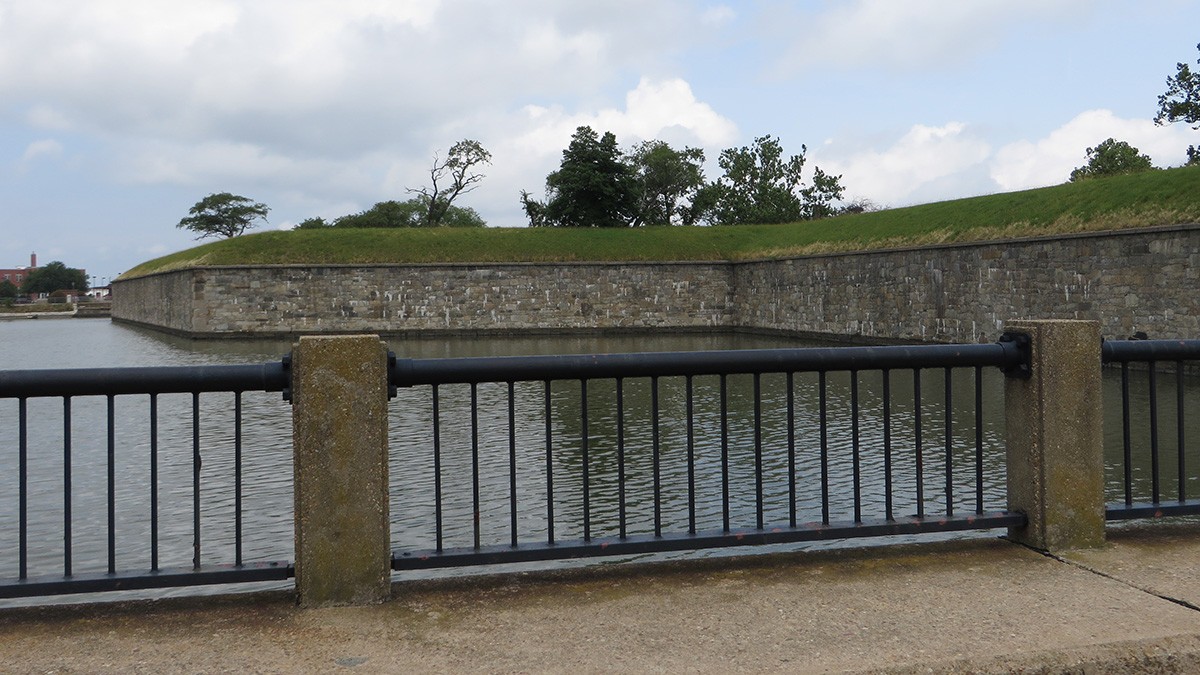
This 325-acre park incorporates two non-contiguous portions of a two-and-a-half-mile long peninsula located in the Chesapeake Bay. The 93-acre southern section includes a 63-acre moated masonry and earthen fortress (1819-1834), while the northern section is characterized by remnant batteries, sandy beaches, and coastal forests. The peninsula is separated from the mainland by Mill Creek, a 53-acre salt marsh.
The original fort (1609) witnessed the arrival of the first documented enslaved Africans to England’s North American colonies in 1619. Reconstructed twice in 1632 and 1730, after the War of 1812 the United States engaged military engineer General Simon Bernard to design Fort Monroe.
Controlled by Union troops throughout the Civil War, in May 1861 the fort provided refuge to three self-emancipated African Americans. Rather than returning them, as required by the Fugitive Slave Act, Major General Benjamin Butler declared them “contraband of war” and permitted them to remain on the site, soon attracting others. This established the nation’s first contraband camp, enclaves where African Americans sought refuge before and in the aftermath of the Emancipation Proclamation.
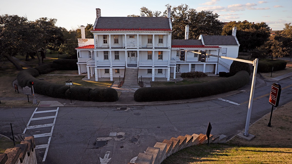
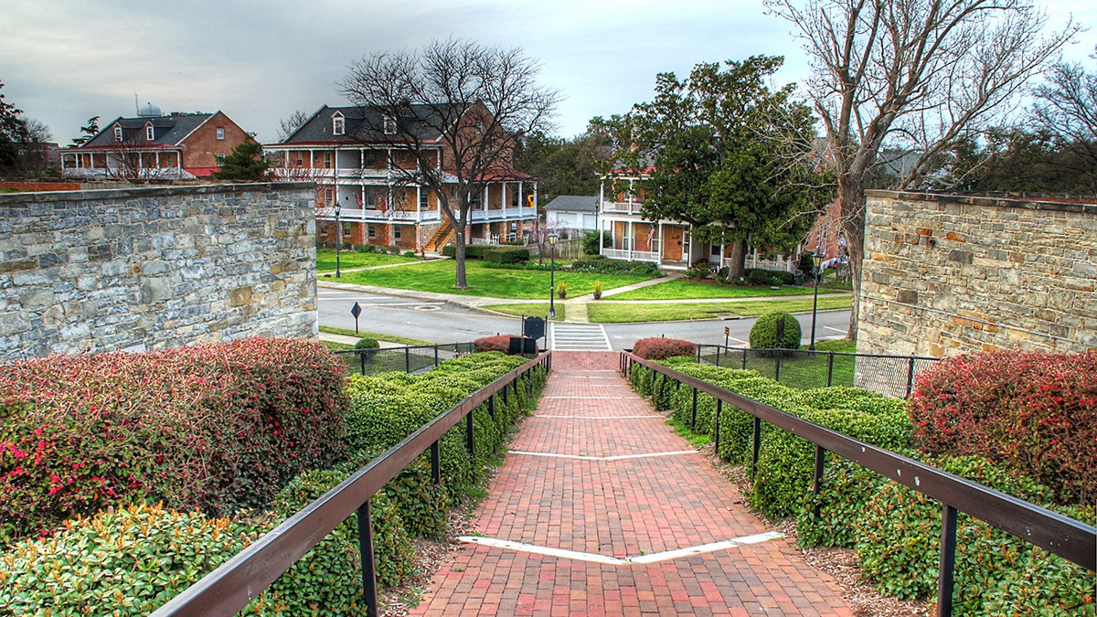
The fort, also home to the Casemate Museum (1951) that interprets its history, features a rectangular central lawn parade ground surrounded by a perimeter drive that traces the edges of the irregularly shaped fortification, offering panoramic views of the bay. Along this outer ring are two- and three-story living quarters with street-facing porches, some resembling plantation houses and others modest barracks. Mature southern live oaks, including an approximately 500 years old specimen, frame the parade ground and dot the lawns separating the structures.
In 1960 most of the peninsula was designated a National Historic Landmark District, and in 1966 it was listed in the National Register of Historic Places. In 2011 President Barack Obama designated 325 acres a national monument, included in the National Park Service Underground Railroad Network to Freedom in 2012. In 2015 the historic district was expanded to 565 acres.