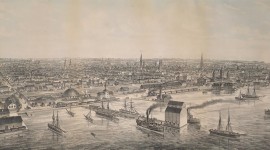
In 1793, Lieutenant-Governor John Graves Simcoe constructed log buildings to house a garrison of British soldiers on the shore of Lake Ontario, simultaneously founding the Town of York and its earliest defenses. Having deteriorated, the buildings were replaced by others, which were destroyed by the American attack of 1813. By 1815, the fort was rebuilt in its present configuration, and in 1909, the property passed to the City of Toronto, which undertook historic preservation work from 1932 to 1934, and again in 1949. A visitor’s center with galleries and spaces dedicated to public education opened in 2014.
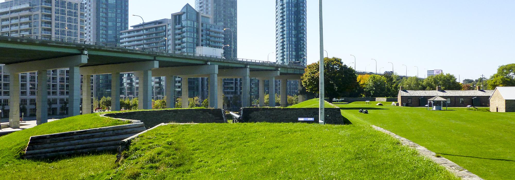
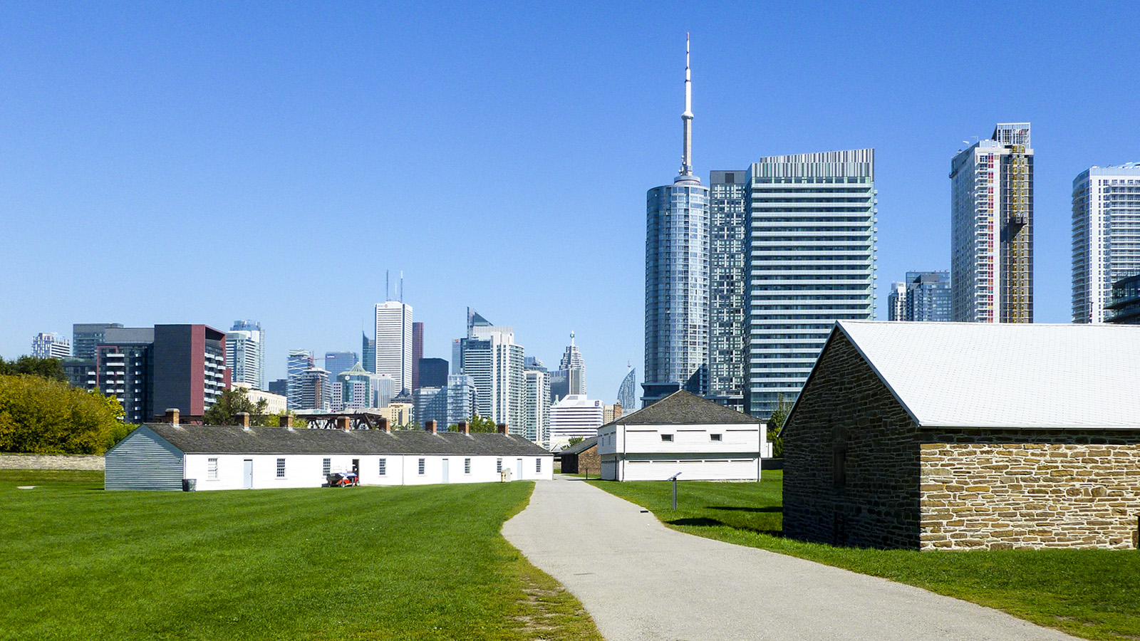
Today, hemmed in by roads and rail lines and crossed by an elevated expressway, the fort lies 500 meters from the shoreline due to two centuries of in-filling. Connected by footpaths, its seven original buildings—officers’ and soldiers’ barracks, blockhouses, and magazines—occupy a sunken lawn bisected by an east-west road and enclosed by a (partially reconstructed) stone-lined earthen embankment with bastions. The embankment encloses nearly three hectares of land, and is pierced by batteries, the southernmost extending prominently in a semi-circle and housing two cannons. West of the embankment and adjacent to the fort is Garrison Common, a 3.3-hectare park with open fields and groves of mature trees, which was an open ‘mustering ground’ where the Battle of York raged. Farther west is the Strachan Avenue Military Cemetery, which operated from 1860 to 1911, and whose few remaining headstones are immured in a brick wall, which fronts a semi-circular apron enclosed by a hedge. Fort York was designated a National Historic Site of Canada in 1923.