Landscape Information
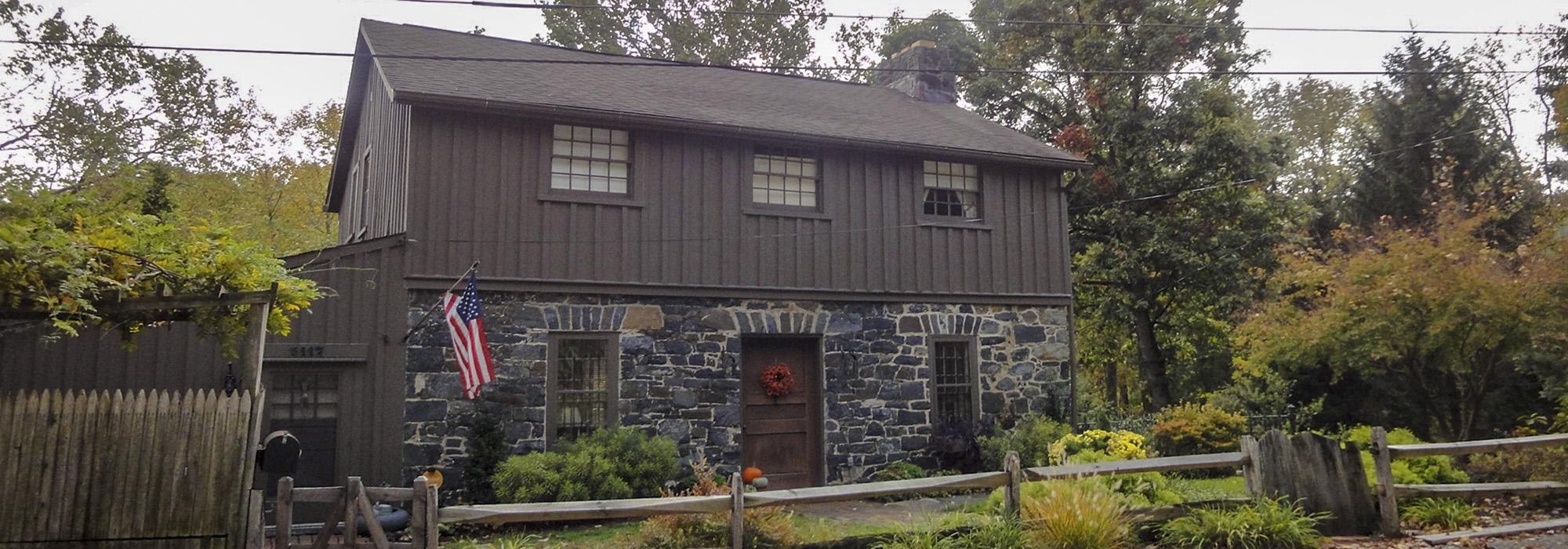
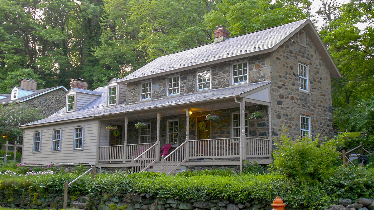
This small community west of downtown Baltimore is a very early example of what could best be described as rural village planning. The Franklin Turnpike, now Franklintown Road, was commissioned in 1827. When completed in 1831, it linked downtown Baltimore to the outlying farms west of the city. Recognizing the value of this new transportation route, local entrepreneur William Freeman proposed a neighborhood on sloping ground along the turnpike north of Dead Run.
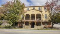
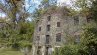
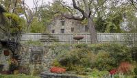
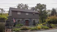
Freeman’s plan established radial streets emanating from a central, oval-shaped road. Known today as Hill Street, “Freeman’s Oval” became the defining landscape feature of the community, encircling a central parcel dotted with large oaks. Freeman was also instrumental in building the nearby Central Race Course, which attracted Baltimore residents to the region. The Franklintown Inn was built to attract prominent guests visiting the racecourse and hints at Freeman’s intentions to develop the area a resort community. A gristmill was built along Dead Run, taking advantage of the hydraulic power provided by the stream and the traffic of grain farmers hauling their goods on the turnpike. While Franklintown was slow to develop, homes were eventually built along the streets that Freeman established. The community remains a rural enclave within a predominantly urban setting, characterized by curvilinear roads, heavily wooded tracts, and naturalistic scenery. The Franklintown Historic District was listed in the National Register of Historic Places in 2001.


