Landscape Information
Chicago’s West Ridge neighborhood park occupies land that was formerly part of the nation of the Pottawattomie Indians. This land was demarcated with a boundary line established by a treaty with the U.S. that lasted from 1816 to 1833.
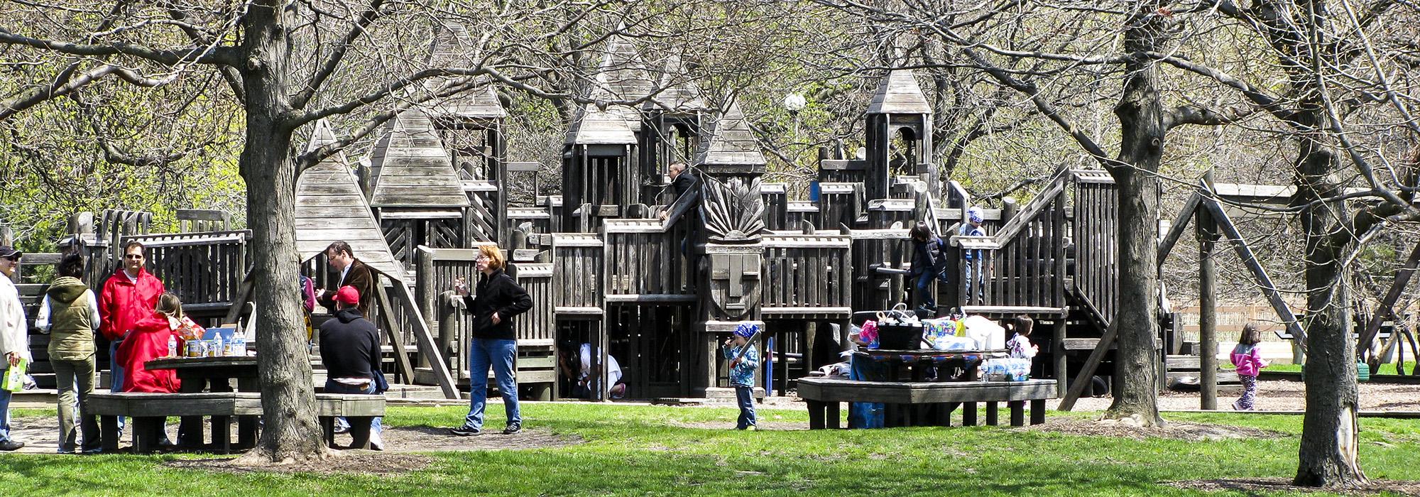
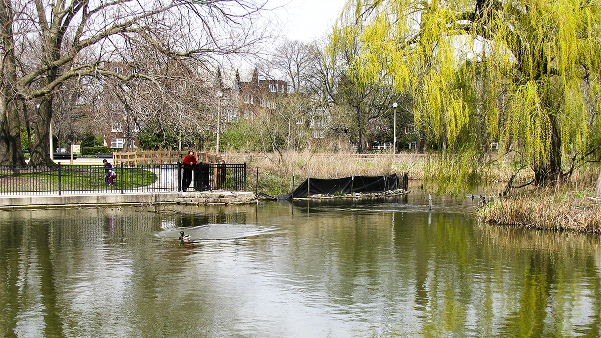
In 1915, thirteen acres were acquired by the Ridge Avenue Park District, creating the second and largest of four district parks. Richard F. Gloede devised plans for the park, which opened in 1922. It features a Tudor Revival-style field house designed by Clarence Hatzfield in 1929 and decorated with architectural motifs of Native Americans. A small zoo was established in the 1920s and is still extant. In a unique configuration, the eastern edge of the park’s greensward flows into the front lawns of contiguous neighboring residences, creating a seamless public and private space. This concept was replicated in the 1960s on the park’s northern border when parts of Estes Street were closed. The park also contains a lagoon with an island planted in prairie wildflowers and native grasses. A large playground was built in 1989 at the behest of neighborhood residents. The park was listed in the National Register of Historic Places in 1995 and the field house was made a Chicago Landmark in 2005.