

Landscape Information
Located thirteen miles southeast of downtown Austin, this 726-acre park surrounds the confluence of Onion and Williamson Creeks. Archaeological excavations indicate the presence of Native Americans from the Late Archaic Period through the eighteenth century. The park is also part of the 300-year-old El Camino Real de los Tejas, a trail traversed by French, Spanish, and American pioneers. Santiago Del Valle purchased the land from the Mexican government in 1832 and the deed eventually went to Thomas McKinney in 1839, who bred racehorses on the property and constructed a flour mill and two-story house. Following McKinney’s death in 1873, his widow sold the property in 1885 to neighbor Edward Wood Smith. Circa 1940 the house suffered a destructive fire. In 1970 Smith’s grandchildren donated the land to the state and the Texas Parks and Wildlife Department stabilized the ruins of McKinney’s house, opening the park in 1976.
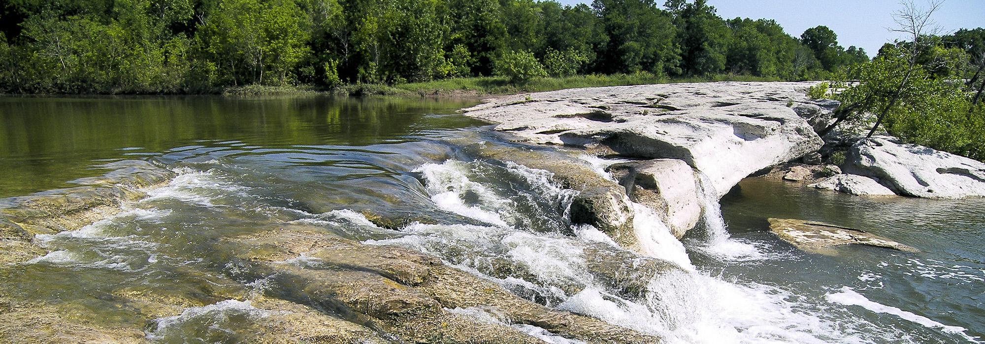
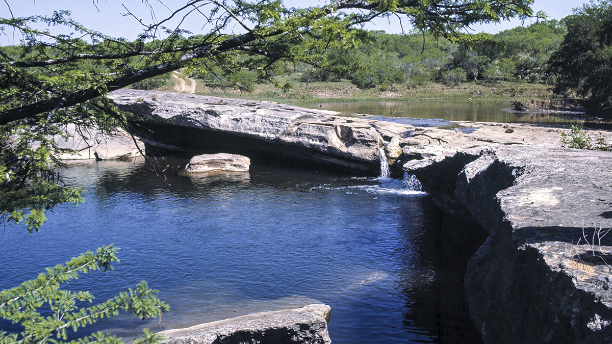
Representing a portion of McKinney’s original 40,000-acre tract, the State Park comprises the Smith Rock Shelter used by Native Americans, McKinney’s homestead and mill ruins, the Smith Visitor Center, as well as hiking and biking trails. One of the oldest bald cypress trees in Texas—more than 500 years old—is accompanied by stands of sycamore, pecan, mesquite, live oak, juniper, and Texas persimmon. Visitors can camp, swim, and explore trails alongside large limestone shelves where creeks pierce through dense woods, culminating at Lower Falls. The McKinney Homestead and Smith Rock Shelter were listed in the National Register of Historic Places in 1974.


